Share
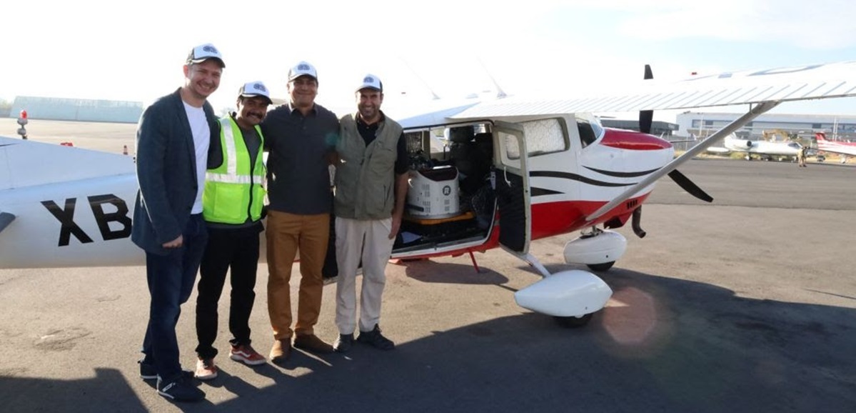
CartoData, located in Jalisco, Mexico, has become the first professional survey firm in North America to take delivery of the RIEGL VQ-1460 airborne laser scanner.
This new sensor model collects high-density, high-accuracy LiDAR point clouds and imagery for intake into CartoData's proprietary production workflows and web mapping platform optimized for urban planning and smart city applications. Latin America has a history of challenges related to urban planning and an abundance of rural settlements, leading CartoData to embark on a path of Cartomorphosis with local and state governments to modernize the current cadastral framework. The RIEGL VQ-1460 will be central to that effort moving forward.
CartoData recently completed a 1,500-kilometer mapping project in El Salvador with the RIEGL VQ-780 II airborne laser scanner. With the addition of the RIEGL VQ-1460, CartoData is expanding its scope of work and increasing its collection level of detail and production efficiency. The key to this is the extended range and point density performance available from the VQ-1460, which enables high-definition data sets that are exploitable by AI. CartoData acquires imagery and LiDAR simultaneously for all missions. The VQ-1460 now tilts the scale on LiDAR favor, as the new density and pattern crunched by AI allows for automatic or semi-automatic extraction of DEMs, vegetated areas, infrastructure elements, and many other layers with unprecedented assertiveness over stereo compilation operators.
"It's not only the 4.4 million pulses per second, but also the regular pattern and the highest laser power in the market today that enables high altitude missions with a level of detail never seen before." said Felix Audirac, CEO for CartoData. “This capacity empowers our technological offer, offering wide-area surveys at a detail achievable previously only available with lower altitude acquisitions. The VQ-1460 is an enabler for AI LiDAR applications."
Two Years and 100,000 Square Kilometers
Looking to the future, CartoData aims to fly over 100,000 square kilometers with its new RIEGL airborne system for country-wide mapping across Latin America. CartoData completed the first 8,000 square kilometers at the time of this writing with incredible results. The examples below show the point densities achieved at flying heights above ground of 1,300 m. and 2,600 m.
"We have been very impressed with CartoData's leadership and support of cadastral modernization in Latin America," said Michael Sitar, RIEGL USA's Division Manager for Airborne Laser Scanning. "With their investment in the VQ-1460 and the first delivery of RIEGL's next-generation LiDAR sensor platform for area and city mapping, we are proud to support their ongoing efforts in this challenging environment."
CartoData has been leaving its mark in the region and impacting towns and cities' transformation with highly accurate mapping data on the path to Smart Cities and strategic Urban Planning.
About the RIEGL VQ-1460
Subscribe to our newsletter
Stay updated on the latest technology, innovation product arrivals and exciting offers to your inbox.
Newsletter

