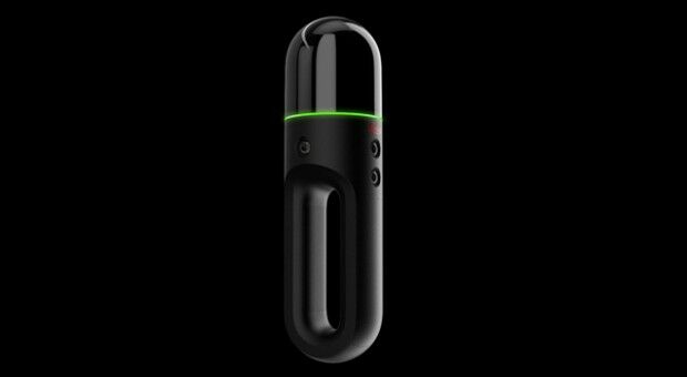
New handheld imaging laser scanner offers unprecedented efficiency to surveyors
13th June 2019
New handheld imaging laser scanner offers unprecedented efficiency to surveyorsTerrestrial and airborne laser (LiDAR) scanners for the collection of 3D point cloud data; software for processing and visualising point clouds and creating 3D models, and use cases for laser scanning
This topic covers the science, the hardware, and the software used to capture, process and apply 3D point cloud data. As well as airborne and terrestrial (tripod-based, vehicle-mounted and handheld) laser (LiDAR) scanners, the topic includes the proprietary and Open Source software employed to process point clouds and create 3D models. It also covers the many and varied uses for 3D laser scanning: topographic mapping, bathymetric mapping, utility mapping, engineering surveying, agriculture, forestry, geology, architecture, industrial facilities, cultural heritage, asset management and construction, collision avoidance in autonomous and semi-autonomous vehicles, and environmental modelling
13th June 2019
New handheld imaging laser scanner offers unprecedented efficiency to surveyors
30th May 2019
Ancient Landforms of the Australian Rainforest Revealed by Airborne LiDAR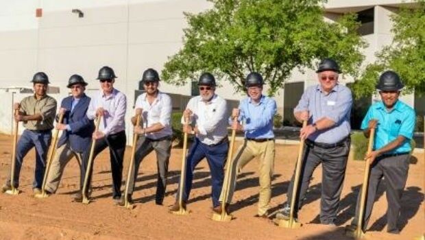
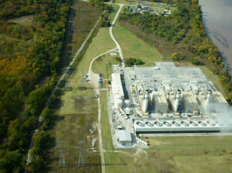
28th May 2019
New Production Facility for Detectors in the USA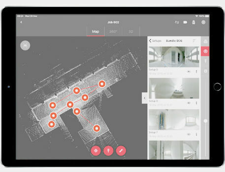
22nd May 2019
Leica BLK360 software integration announcement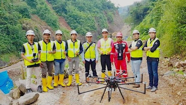
22nd May 2019
Terra Drone Indonesia shows construction companies benefits


16th May 2019
SITECO's System for the Emilia Romagna Railways Inspection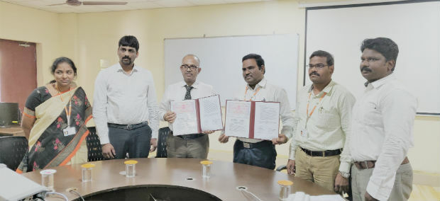
16th May 2019
Terra Drone India and Vignan University set up drone lab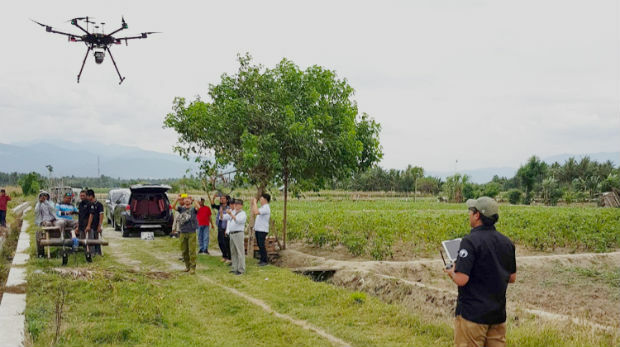


13th May 2019
Bluesky and Skyline Create Dynamic 3D City Models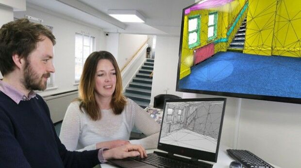
1st May 2019
ISG Transforms BIM Delivery Using Pointfuse Laser Scanning Software
1st May 2019
Bench-Guard™ and Table-Guard™ - Laser Barriers24th April 2019
RIEGL to Attend and Exhibit at AEC BuildTech 2019!
23rd April 2019
Micro Optical Power Meter - Compatible with Single-Mode and Multi-Mode Networks22nd April 2019
GeoCue Releases New and Improved Way to Access Public LIDAR and Image Data17th April 2019
News from new autonomy and sensor distributor
17th April 2019
Optical Filters for Machine Vision Applications17th April 2019
“New technology vital to the future protection of our forests”17th April 2019
LEADING EDGE GEOMATICS LEVERAGES LiDAR TECHNOLOGY
16th April 2019
Fugro supports targeted maintenance of Dutch roads

16th April 2019
Space Flight Laboratory Reaches Century Milestone in Microspace Operations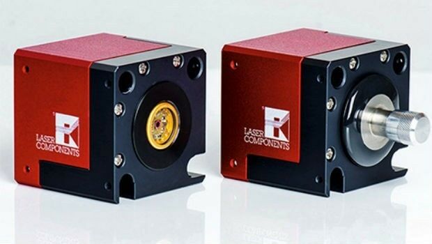
-Airbus-DS-2019-.jpg)
15th April 2019
Airbus and ZF to develop high precise end-to-end autonomous driving solution
4th April 2019
Bluesky Purchases UK’s First CityMapper Camera
2nd April 2019
Teledyne CARIS Onboard 2.1 to be featured at Ocean Business 2019
1st April 2019
Fibre Laser Process Heads - Modular Design28th March 2019
Colorado State University Expands Curriculum25th March 2019
Kaarta announces $6.5M in Series A Financing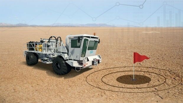
20th March 2019
Sercel Optimizes Vibroseis Productivity with Launch of Vibrator Auto-Guidance
19th March 2019
New GeoSLAM Scanner Combines Detailed Data Points With Hi-Res Imagery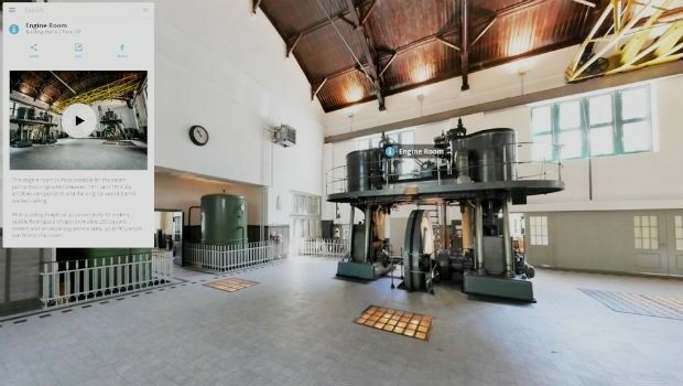
19th March 2019
Interactive, fully immersive 3D buildings online27th February 2019
Palatiello Promotes USGS 3DEP Before Congress
26th February 2019
Global Mapper v.20.1 Now Available with Path Profile Zooming
19th February 2019
COMPLETE MOBILE SURVEYING OF AMTRAK’S NEW YORK PENN STATION
13th February 2019
Mobile Mapping System Road-Scanner for the first tram line in Bologna
2nd February 2019
Greenvalley International Launches Premium Handheld Mobile Mapping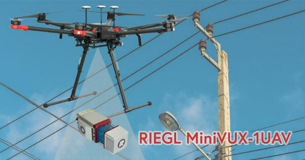
1st February 2019
CompassDrone, Newest Division Of CompassData,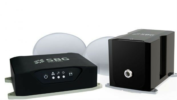
17th January 2019
Routescene and Caddis Aerial launch UAV LiDAR surveys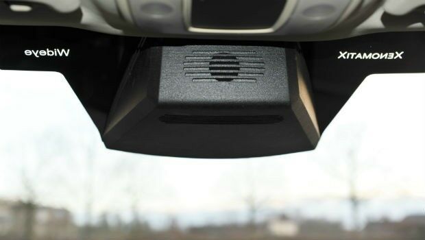
4th January 2019
A seamless integration of LiDAR sensors behind vehicles’ windshield
14th December 2018
AEP’s Extra High Voltage Electricity Transmission Assets In Oklahoma, USA5th December 2018
Fugro’s Surveys To Improve Coastal Resilience In Pacific Island Nation, Tuvalu