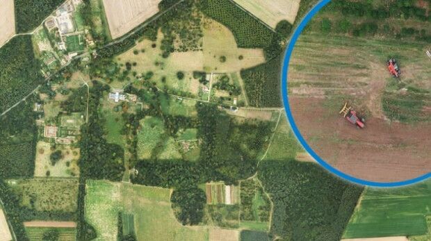
Bluesky Aerial Images Help Reveal Secrets of Farm Management
4th December 2018
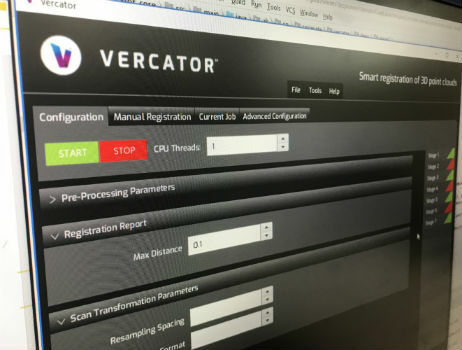
Bluesky Aerial Images Help Reveal Secrets of Farm ManagementTerrestrial and airborne laser (LiDAR) scanners for the collection of 3D point cloud data; software for processing and visualising point clouds and creating 3D models, and use cases for laser scanning
This topic covers the science, the hardware, and the software used to capture, process and apply 3D point cloud data. As well as airborne and terrestrial (tripod-based, vehicle-mounted and handheld) laser (LiDAR) scanners, the topic includes the proprietary and Open Source software employed to process point clouds and create 3D models. It also covers the many and varied uses for 3D laser scanning: topographic mapping, bathymetric mapping, utility mapping, engineering surveying, agriculture, forestry, geology, architecture, industrial facilities, cultural heritage, asset management and construction, collision avoidance in autonomous and semi-autonomous vehicles, and environmental modelling
4th December 2018
Bluesky Aerial Images Help Reveal Secrets of Farm Management28th November 2018
Add Geographic Intelligence to your Software Projects27th November 2018
EuroSDR One-Day Workshop on Single Photon and Geiger-Mode LiDAR
26th November 2018
Getmapping appoints Geosolutions Consultant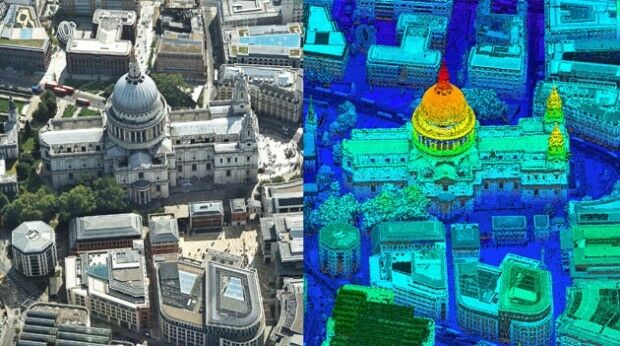
21st November 2018
Bluesky first to use Leica CityMapper to capture UK cities in 3D
20th November 2018
Getmapping Announces New European Management Team Structure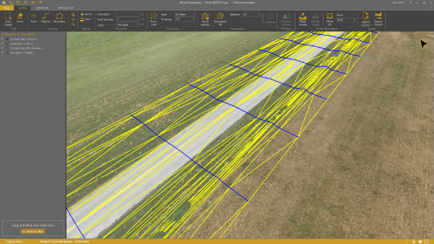
13th November 2018
Virtual Surveyor 6.1 Handles More Than Drone Data
8th November 2018
Greenvalley International launches updated software LiDAR360 Suite 3.0
8th November 2018
CGG’s Mozambique Multi-Client Survey Now Available
8th November 2018
PointStudio - New name and platform for Maptek spatial data application
18th October 2018
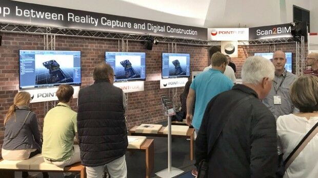
Pointfuse Launches New Point Cloud Software at Intergeo17th October 2018
Geomni Forms Strategic Alliance with Skyline Software Systems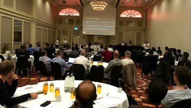
16th October 2018
GeoSLAM Welcomes New Member Of ZEB Family For Indoor + Outdoor Use16th October 2018
International LiDAR Mapping Forum Announces 2019 Education Program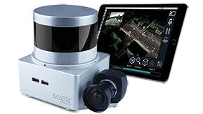
16th October 2018
Kaarta Announces Stencil 2 Mobile Mapping System
15th October 2018
Pointfuse Launches New Laser Scanning Software Suite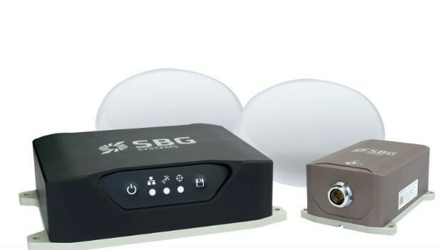
11th October 2018
Navsight Land/Air Solution: Powerful New Inertial Navigation Solution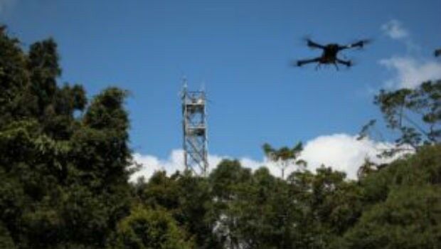
11th October 2018
Novel LIDAR Data Improves Our Understanding Of Tropical Forests
10th October 2018
SITECO's NEW Road-SIT Survey v. 7.0 AT INTERGEO 2018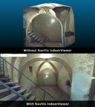
8th October 2018
NavVis IndoorViewer converts static scans into immersive 360° imagery25th September 2018
Dowe Gallagher Adds Textron Cessna Caravan EX To Lidar Offerings
25th September 2018
NM Group undertake Machine Learning research project22nd September 2018
Mirasense and XenomatiX Win Technology Showcase
15th September 2018
ezMetr Provides Transportation Platform for Smarter Cities
15th September 2018
SITECO announces full compatibility of Road-Scanner data with TopoDOT13th September 2018
RIEGL to Attend and Exhibit at AREMA 2018!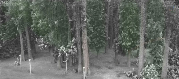
10th September 2018
Greenvalley International Launches New Premium Mobile Mapping Systems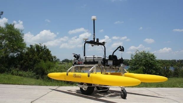
6th September 2018
SeaRobotics Delivers 3.6 Meter Collapsible ASV to USACE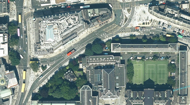
13th August 2018
Bluesky Captures Ultra High Resolution Aerial Images of Dublin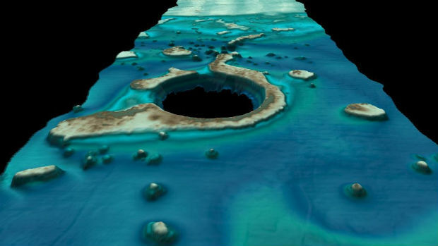
9th August 2018
Fugro’s New Ramms Technology Advances Bathymetric Lidar Mapping Capabilities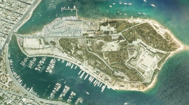
1st August 2018
Bluesky Helps Malta Develop GeoSpatial Infrastructure
31st July 2018
Skanska Speeds BIM Workflows with Pointfuse As-Built Models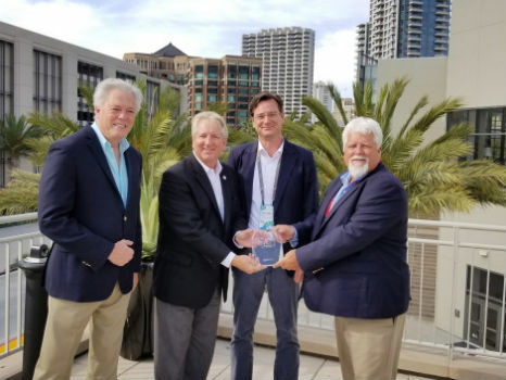

12th July 2018
Pointfuse Software Powers VR 'Preevues' for West End Shows28th June 2018
SamyoungPNT to Provide Applanix Products and Solutions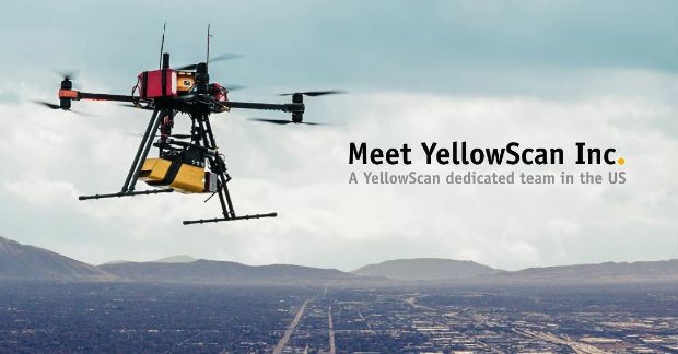
21st June 2018
YellowScan, UAV LiDAR specialist, opens YellowScan Inc. in Salt Lake City.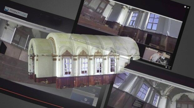
19th June 2018
Pointfuse Brings 3D Imaging Front of Stage for Theatrework15th June 2018
Hexagon introduces HxGN MineOperate UG Pro for Miners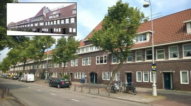
13th June 2018
Pointfuse 3D Models Boost Social Housing Management
12th June 2018
Headwall Integrates Hyperspectral and LiDAR Aboard UAV Platforms
7th June 2018
NAKANIHON and RIEGL to Give Joint Presentation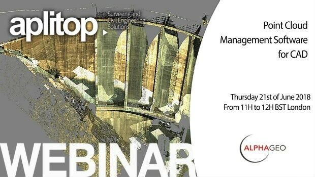
6th June 2018
Latest Webinar: Point Cloud Management Software for CAD
4th June 2018
Pointfuse Showcases New Software at SPAR 3D31st May 2018
Merrick Releases Version 2018 MARS® Software Suite
31st May 2018
Pointfuse Unlocks ‘As Built’ Data with Autodesk Integration