
UAS Mapping Certification Program at Commercial UAV Expo 2017
28th July 2017
UAS Mapping Certification Program at Commercial UAV Expo 2017Technologies that provide tracking and navigational functions for unmanned, autonomous and semi-autonomous vehicles on land, at sea and in the air, and use cases on their practical deployment
This topic covers the technologies that provide tracking and navigational functions for unmanned vehicles of all types, on land, at sea and in the air. These technologies include satellite-based navigation (GNSS) receivers, Inertial Navigation Systems (INS), Acoustic Positioning Systems (APS) and other sensors for situational awareness (radars, Lidars, optical and infrared cameras, ultrasonic, etc). Use cases for the deployment of these technologies in unmanned vehicles embraces land surveying, construction and urban planning, underwater exploration and asset management, archaeological and heritage studies, environmental monitoring, conservation, utility surveys, insurance risk surveys, built infrastructure surveys and inspection, defence applications, open cast mining, forestry and agriculture, traffic management, emergency services, search and rescue, humanitarian support, disease control and healthcare, merchandise delivery and weather forecasting
28th July 2017
UAS Mapping Certification Program at Commercial UAV Expo 201727th July 2017
GeoCue GNSS Direct Geopositioning System For Low Cost DJIDrones
27th July 2017
Icaros and TeAx Announce an Integrated Drone Mapping Solution26th July 2017
Majority Of Drone Owners Welcome Flying Exam
24th July 2017
Plowman Craven Launches Vogel R3D Rail Survey System20th July 2017
UNICEF & Vanuatu Government Select Martek for UAS Vaccine Delivery.jpg)
15th July 2017
5th Edition of the Unmanned Cargo Aircraft Conference
12th July 2017
Martek UAS announce ‘Gareth Knowles’ as the first UAS Strategist
7th July 2017
Carbomap Ready to Map the World with Advanced LiDAR on Fixed-Wing UAV6th July 2017
MARSS Launches Networked Tactical Command And Control System
6th July 2017
Ultra-high accuracy version of DATAhawk now available` - DATAhawk PPK29th June 2017
CompassDrone™ to Demo Integration of DJI Video with ArcGIS
28th June 2017
senseFly brings drone education to Esri User Conference26th June 2017
Big success for first pan-European drone conference and trade fair
21st June 2017
Drone Inspections go nuclear with GPS and RADAR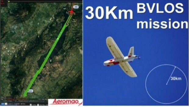
20th June 2017
Aeromapper Talon demonstrates BVLOS capabilities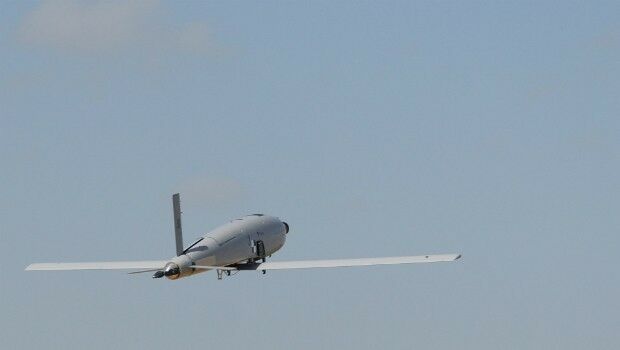

19th June 2017
Terra Drone Delves Deeper Into the Australian Market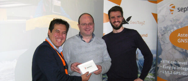
16th June 2017
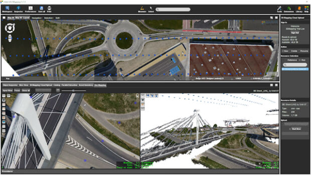
Orbit GT releases UAS Mapping v17.1 with Cloud Upload feature
12th June 2017
senseFly to showcase drone innovations at INTERGEO 201712th June 2017
Drone Hero Finalists to Battle it Out in Brussels!
9th June 2017
Martek appoint leading UAS “Subject Matter Expert” as Technical Manager7th June 2017
SkyX Systems Corp. Deploys First “xStation”
2nd June 2017
Paul Forster: Martek Marine hire Head of UAV Operations1st June 2017
COPTRZ Release First UK Drone Market Intelligence Report


![Drones are here to stay. [Get up to speed 20-22 June, Brussels.] (from import)](https://static.geoconnexion.com/uploads/images/_AUTOxAUTO_fit_center-center_80_none/import-temp_file_UAV_Brussells_Banner1.jpg)
18th May 2017
Drones are here to stay. [Get up to speed 20-22 June, Brussels.]
17th May 2017
Aeromapper Talon Surveys A Whole Maldives Island In A Single Flight
17th May 2017
Commercial UAV Expo Europe announces drone conference programme
11th May 2017
30 Years of Success Leads DAT/EM to Virtual Reality and UAS9th May 2017
Wantman Completes Extensive UAV Project with SimActive
8th May 2017
Parrot develops its commercial drone offer with end-to-end solutions
3rd May 2017
senseFly Corridor solution boosts linear mapping projects efficiency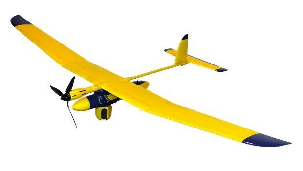
1st May 2017
Elbit Systems of America Presents UAS Capabilities
28th April 2017
More efficient construction management with Pix4Dbim
28th April 2017
Sessions & speakers announced. Knowledge gap solved.