
Phase One Industrial Innovates Four Band Aerial Imaging
6th September 2016
Phase One Industrial Innovates Four Band Aerial ImagingTechnologies that provide tracking and navigational functions for unmanned, autonomous and semi-autonomous vehicles on land, at sea and in the air, and use cases on their practical deployment
This topic covers the technologies that provide tracking and navigational functions for unmanned vehicles of all types, on land, at sea and in the air. These technologies include satellite-based navigation (GNSS) receivers, Inertial Navigation Systems (INS), Acoustic Positioning Systems (APS) and other sensors for situational awareness (radars, Lidars, optical and infrared cameras, ultrasonic, etc). Use cases for the deployment of these technologies in unmanned vehicles embraces land surveying, construction and urban planning, underwater exploration and asset management, archaeological and heritage studies, environmental monitoring, conservation, utility surveys, insurance risk surveys, built infrastructure surveys and inspection, defence applications, open cast mining, forestry and agriculture, traffic management, emergency services, search and rescue, humanitarian support, disease control and healthcare, merchandise delivery and weather forecasting
6th September 2016
Phase One Industrial Innovates Four Band Aerial Imaging6th September 2016
Phase One Industrial Launches iXU-RS Aerial Camera Series6th September 2016
Dubai Municipality, Qatar Airways, Saudi Aramco at Drones Middle East5th September 2016
Aibotix - All-new UAV solutions for your business30th August 2016
Cardno Provides Services to U.S. Northwest Law Enforcement Agencies30th August 2016
Airobotics Selects SimActive’s Photogrammetry Software30th August 2016
How to Legally Operate Drones Under New FAA Regulation26th August 2016
UAVAir highlights changes to ANO affecting commercial UAV pilots23rd August 2016
HERMES® 450 soars during the North Dakota UAS Field Day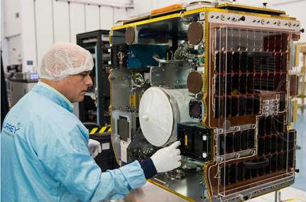
18th August 2016
senseFly & Air Nav Pro join forces to reduce mid-air collisions16th August 2016
The Latest Ehang Ghost Drone 2.0 Available From DronesDirect.CO.UK16th August 2016
InterDrone After-Hours Sessions Added to Largest Commercial UAV Show
5th August 2016
160 Commercial Drone Companies Showcase UAV Technology at InterDrone2nd August 2016
New senseFly financing and insurance packages for Drone operators2nd August 2016
AirGon LLC Revolutionizes Drone Data Extraction2nd August 2016
Pix4D Elevates Agriculture Software to Desktop & Cloud Solution1st August 2016
The Truth About Drones in Mapping and Surveying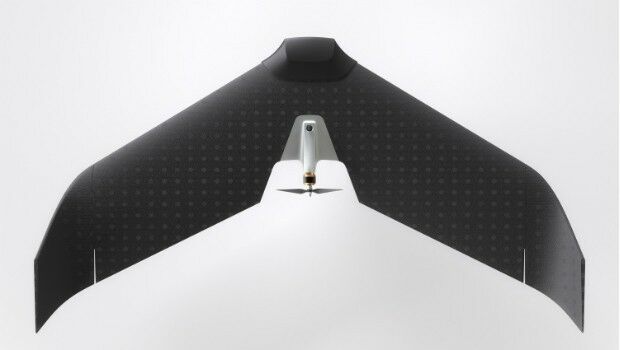
27th July 2016
Lehmann Aviation redefines mapping drones with brand-new L-A Series27th July 2016
Future of drone use within business set to change25th July 2016
A look around the UAS boom industry at interaerial SOLUTIONS21st July 2016
Airbus to operate Heron 1 drones for Germany also in Mali
18th July 2016
QuestUAV Provides Own PPK Solution For Q-200 Surveyor UAV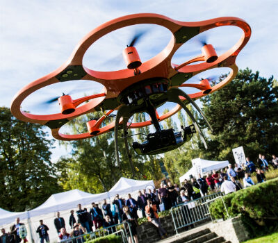
12th July 2016
Leica Geosystems completes CAA qualifications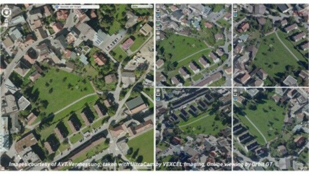
8th July 2016
Orbit GT and Vexcel Imaging, Austria sign Reseller Agreement
8th July 2016
The Truth About Drones in Construction and Infrastructure Inspection8th July 2016
Vexcel Imaging and Orbit GT sign Reseller Agreement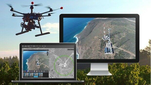
27th June 2016
Septentrio's Enhanced Georeferencing Solutions for Drone Aerial Survey23rd June 2016
CompassDrone™ Your One-Stop-Shop for Drone Based Remote Sensing22nd June 2016
CAPIGI GeoAgri 2016: “Insightful, exciting, state-of-the-art”22nd June 2016
Icaros Releases 4.2.2 of OneButton™ UAS Image Processing Software21st June 2016
Cornerstone Mapping Processing Thermal Imagery with SimActive
20th June 2016
Thousands of customers will be gathered at Age of Drones Expo16th June 2016
UAVAir calls businesses to take note of growing use of drones
16th June 2016
Age of Drones Expo is coming: first time in Hamburg, Germany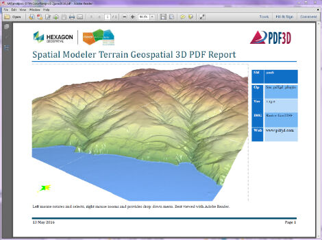
13th June 2016
PDF3D Releases 3D Geospatial PDF Plugin for ERDAS IMAGINE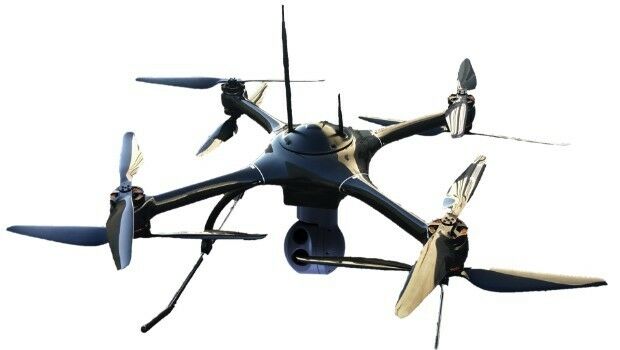
13th June 2016
Aero Surveillance announces a new version of its Octocopter ASV 30.jpg)
31st May 2016
Unique Mapping Solution from ScientificAerospace and DroneMetrex30th May 2016
YellowScan LiDAR for Drone 2016: User Conference27th May 2016
UK startup solves drone safety threat on a global scale25th May 2016
QuestUAV Training Team Starts Large-Team International Training24th May 2016
Septentrio expands in Europe by signing new partnership with Innovelec