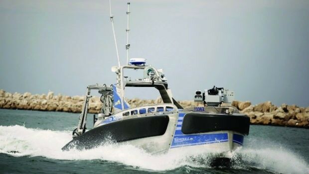
Elbit Systems’ Seagull™ Won Maritime Award: “KNVTS Ship of the Year"
8th November 2017
Elbit Systems’ Seagull™ Won Maritime Award: “KNVTS Ship of the Year"Technologies that provide tracking and navigational functions for unmanned, autonomous and semi-autonomous vehicles on land, at sea and in the air, and use cases on their practical deployment
This topic covers the technologies that provide tracking and navigational functions for unmanned vehicles of all types, on land, at sea and in the air. These technologies include satellite-based navigation (GNSS) receivers, Inertial Navigation Systems (INS), Acoustic Positioning Systems (APS) and other sensors for situational awareness (radars, Lidars, optical and infrared cameras, ultrasonic, etc). Use cases for the deployment of these technologies in unmanned vehicles embraces land surveying, construction and urban planning, underwater exploration and asset management, archaeological and heritage studies, environmental monitoring, conservation, utility surveys, insurance risk surveys, built infrastructure surveys and inspection, defence applications, open cast mining, forestry and agriculture, traffic management, emergency services, search and rescue, humanitarian support, disease control and healthcare, merchandise delivery and weather forecasting
8th November 2017
Elbit Systems’ Seagull™ Won Maritime Award: “KNVTS Ship of the Year"3rd November 2017
Phase One Industrial partners with Drone Nerds31st October 2017
SimActive Automates Direct Georeferencing26th October 2017
Commercial UAV Expo and Drone World Expo Come Together in 2018
26th October 2017
Orbit GT updates 3D Mapping Cloud with great new UAV support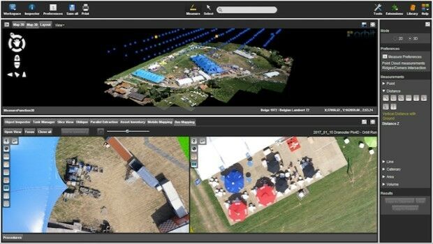
24th October 2017
Orbit GT launches new Feature Extraction product for Drones23rd October 2017
Septentrio launches the AsteRx-m2a and AsteRx-m2a UAS23rd October 2017
Commercial UAV Expo Announces Highlights of Upcoming 2017 Event21st October 2017
Virtual Surveyor Unveils Productivity Tools at Commercial UAV Expo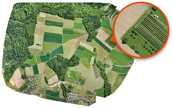
11th October 2017
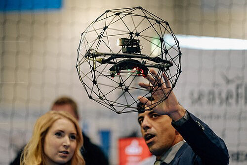
UAV exhibition opens doors to businesses across Europe
10th October 2017
UAV exhibition opens doors to businesses across Europe5th October 2017
Commercial UAV Expo to include Workshops/Demos/Training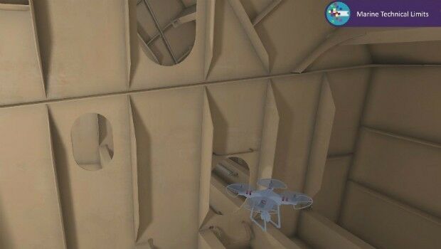
4th October 2017
Bureau Veritas joins the RECOMMS drones project27th September 2017
INTERGEO 2017 Berlin: Geo-IT-event officially opened26th September 2017
Commercial UAV Expo Europe Moves to Amsterdam in April, 2018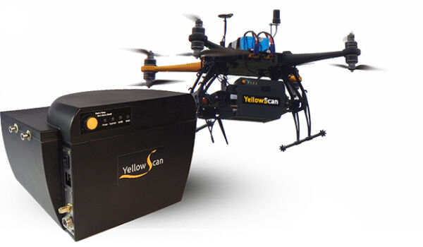
26th September 2017
YellowScan & Quantum Systems partnership
21st September 2017
Wingtra partners with Kentucky-based Precision Capture20th September 2017
Phase One Industrial Introduces 190MP Aerial System16th September 2017
Esri to Present at TechCrunch Disrupt SF 201715th September 2017
Unmanned Systems industry leaders are gathering in Odense
14th September 2017
Skyfront Sets World Record for Drones with 4 hour and 34 minute flight
12th September 2017
New counter-drone system unveiled at DSEI 201712th September 2017
Drone Software Donation for Hurricane Recovery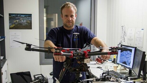
1st September 2017
Drones and Pix4D drone mapping software saving time and money29th August 2017
Integrated Drone Multispectral Mapping Solution for Agriculture29th August 2017
Exploring the new Global Drone Ecosystem in Lausanne, Switzerland26th August 2017
Terra Drone is to release Terra Mapper a new image processing software24th August 2017
GPM2 Design choose COPTRZ to enable drone surveying & inspection
23rd August 2017
Multiple senseFly drones added to the list of compliant systems23rd August 2017
Real-time imagery for firefighters saves lives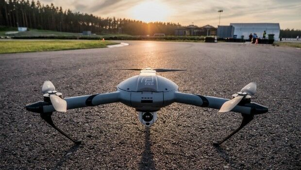
22nd August 2017
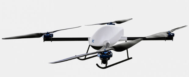
Atlas Dynamics to Launch Autonomous Professional Drone System15th August 2017
Large Companies Target Energy Independent Electric Vehicles11th August 2017
Drone based LiDAR for Aberystwyth University global research11th August 2017
Michael P. Huerta to Deliver Grand Opening Keynote at InterDrone10th August 2017
CIRRUAS Drone Program for Public Safety Agencies
10th August 2017
3D Repo’s VR Simulator Helps TRL Shape Autonomous Vehicles Services9th August 2017
The Commercial UAV Show 15-16 November 2017 ExCel, London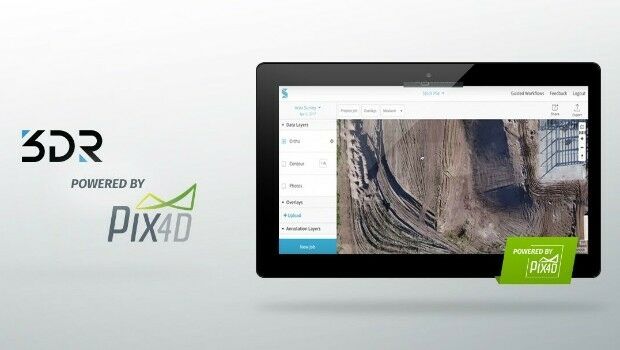
4th August 2017
3DR Site Scan processing now powered by Pix4D3rd August 2017
Geovation start-up partners with insurance giant
28th July 2017
UAS Mapping Certification Program at Commercial UAV Expo 2017