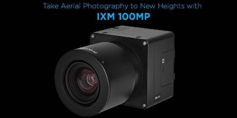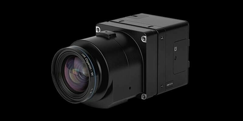
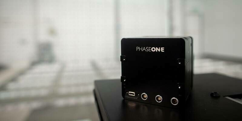
A new benchmark – sub-centimeter aerial mapping at aircraft speeds without compromises
4th February 2026
A new benchmark – sub-centimeter aerial mapping at aircraft speeds without compromisesPhase One is a global leader in digital imaging technology. The company provides unrivaled imaging quality for a wide range of applications, from professional photography to heritage digitization, industrial inspections, aerial mapping, security and space.
For more than three decades, Phase One has developed core imaging technologies and a range of digital cameras and imaging modules, setting new standards for image quality in terms of resolution, dynamic range, color fidelity and geometric accuracy.
Based in Copenhagen, Denmark, and with regional offices strategically located in Denver, Cologne, Tel Aviv, Saku, Tokyo, Beijing, Shanghai, and Hong Kong, Phase One nurtures long-term relationships with customers, technology partners and its global network of distributors, often playing the role of digital imaging partner to customers with unique requirements. It is with this passion for service that Phase One continually exceeds expectations and drives the imaging industry forward.
We deliver Imaging Beyond Imagination.
Event
overview:
Geo Week
2024
February 11-13, 2024
Colorado Convention Center, Denver (CO), US
Booth #409
AUVSI Xponential 2024
April 23-25, 2024
San Diego Convention Center, San Diego (CA), US
Booth #4245
Commercial UAV Expo
September 3-5, 2024
Caesars
Forum, Las Vegas (NV), US
Intergeo 2024
September 24-26, 2024
Messe
Stuttgart, Stuttgart, Germany
+972 544 609 055
Roskildevej 39, Frederiksberg 2000 Denmark
2008
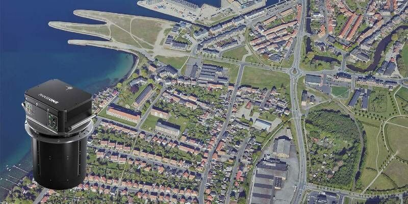
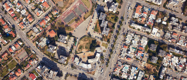
Aerial Imaging: High-Resolution Geospatial Data for Mapping, Analysis, and Decision-Making
Data Capture
Geo Analytics
Photogrammetry
Georeferencing
Environmental
Forestry
Agriculture
Architecture, Engineering & Construction (AEC)
Digital City Modelling
4th February 2026
A new benchmark – sub-centimeter aerial mapping at aircraft speeds without compromises
14th October 2025
Phase One unveiled a powerful lineup of innovations at Intergeo 2025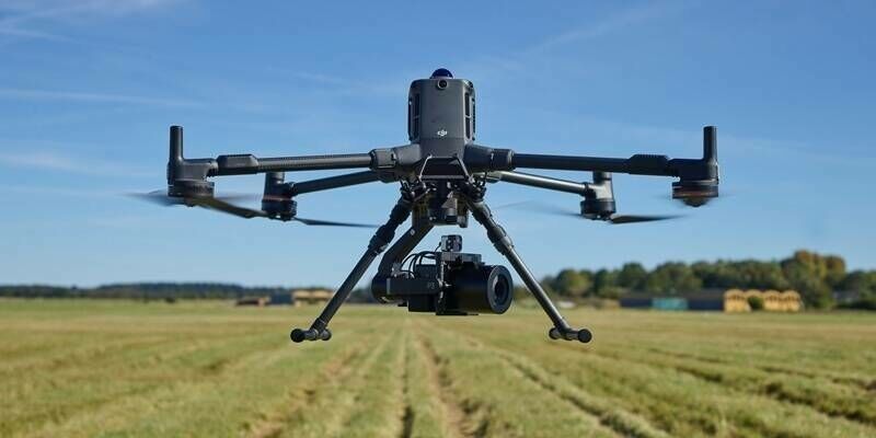
2nd October 2025
Phase One announces seamless integration of its P3 camera with the new DJI M400 drone
18th December 2023
Cyberhawk Selects Phase One to Revolutionize Drone-based Industrial Inspection – Deliver More Value in Less Time
8th November 2023
Phase One, Quantum Systems and Trimble Unveil Groundbreaking Survey Grade UAV Solution with Phase One P5 Camera Launch
11th October 2023
Phase One Introduces PAS Pana at InterGeo 2023: The Most Effective Wide Area Camera for Aerial Mapping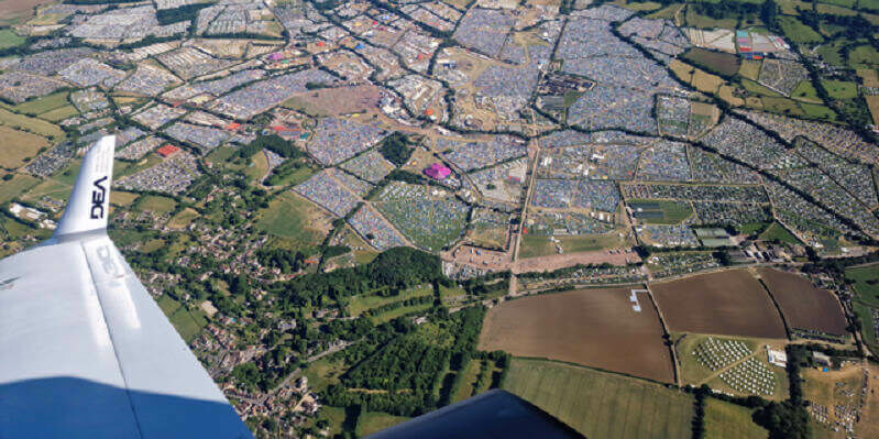
16th June 2023
Phase One Announces New Calibration Lab and Geospatial Center of Excellence in Denver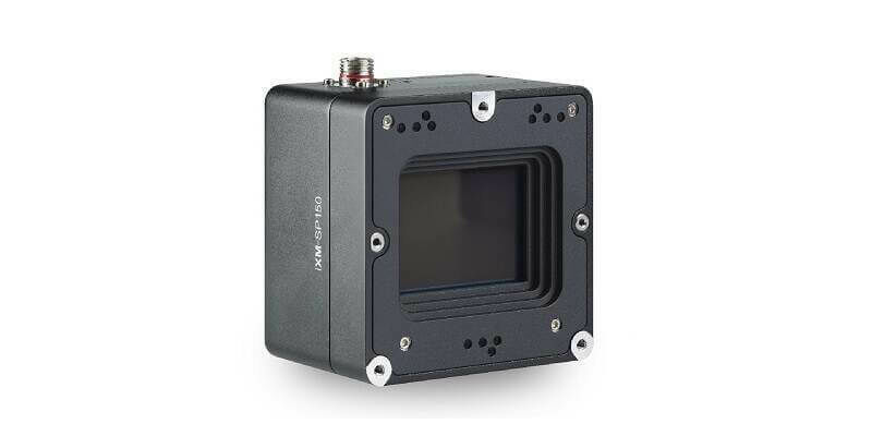
23rd May 2023
Phase One Announces iXM-SP150 at GEOINT - An Advanced 150 Megapixels Snapshot Matrix Camera for Earth Observation and Space Domain Awareness Applications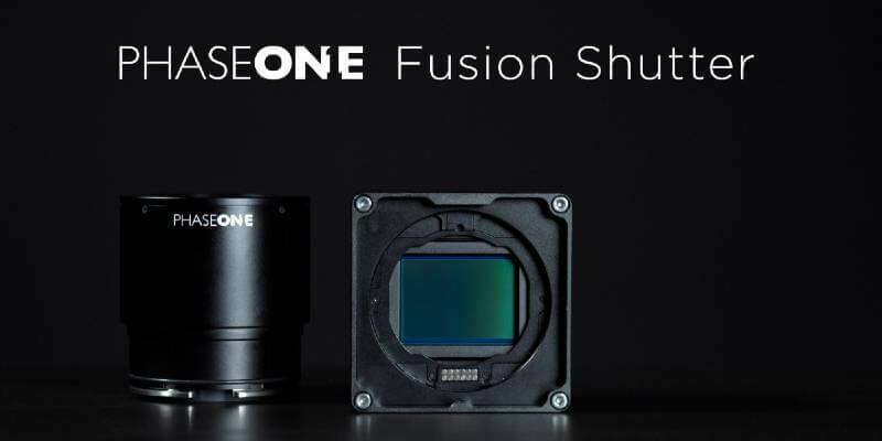
14th October 2022
Phase One Will Unveil Their Patent Pending Technology, Fusion Shutter, at the 2022 InterGeo
5th October 2022
Phase One Announces Successful Operation of 150MP Camera on Smallsat Earth Observation Mission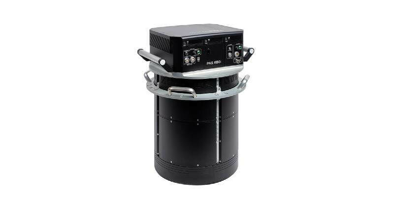
19th May 2022
Phase One Announces Next-Generation Aerial Solutions Enhanced with Near Infrared Capabilities
13th May 2022
Kavel 10 Aerial Mapping pioneers from the Netherlands chose Phase One PAS 880 system to improve productivity
12th April 2022
Phase One to Showcase iXM-GS120 Wide-Area Aerial Camera at GEOINT 2022 in Colorado
10th February 2022
Phase One Selects Globe Flight as Sales Partner for Drone Solutions in Germany and Austria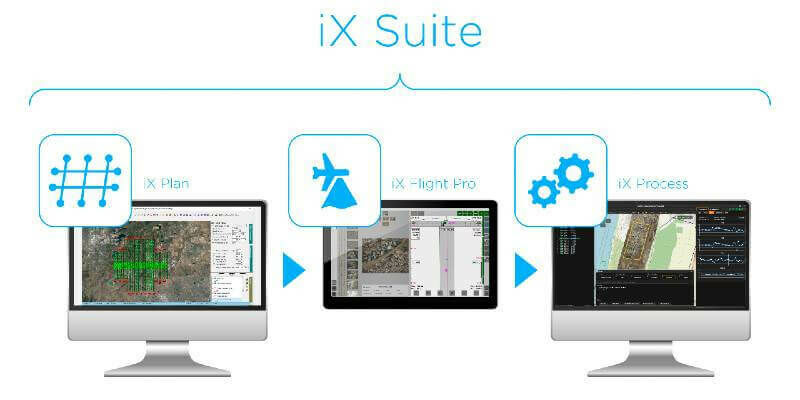
4th February 2022
Phase One Announces iX Suite for Seamless Aerial Mapping Workflow from Flight Planning to Image Delivery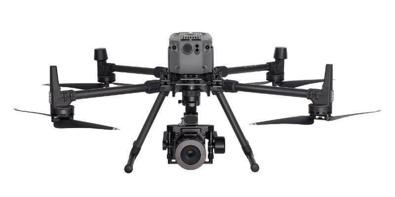
20th January 2022
Phase One Names Remote Vision as Swiss Reseller of Drone Payloads
18th January 2022
Phase One Unveils Wide-Area, 120MP Aerial Camera with Global Shutter Sensor Technology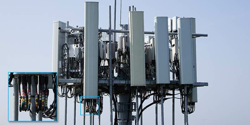
10th November 2021
Our P3 Payload exceeds Gresco's expectations for cellphone tower inspection
2nd July 2021
PhaseOne - How Digital-Twins of Hydro-power Dams support Plant Operations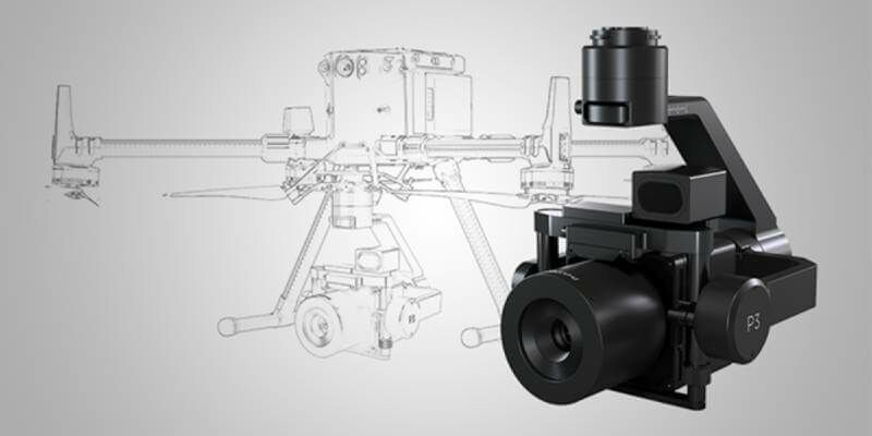
5th May 2021
Introducing: P3 Payload - Unmatched inspection productivity and versatility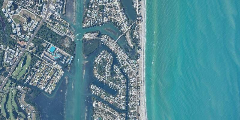
24th March 2021
Latest webinar: Phase One Advancing Aerial Surveying and Professional Photogrammetry Mapping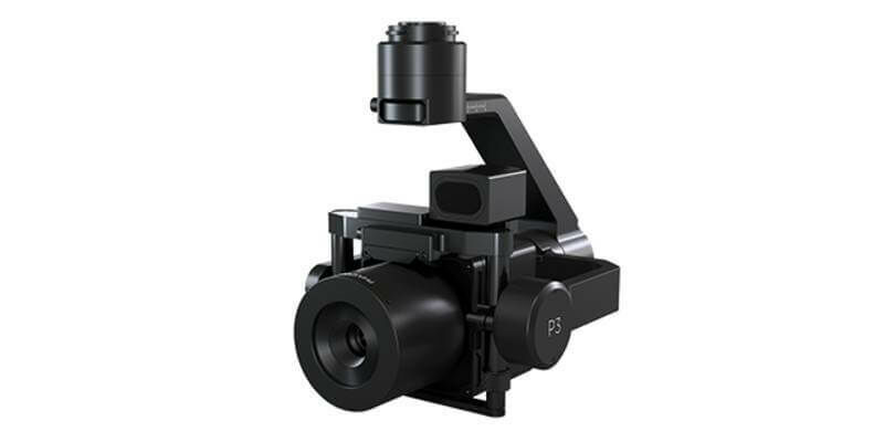
24th March 2021
Phase One Announces P3 Drone Payload for Asset Inspection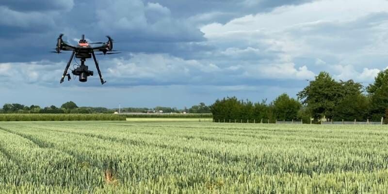
27th January 2021
You are invited to attend Phase One webinar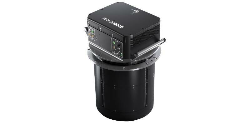
16th December 2020
Phase One Unveils PAS 880 Large-Format Nadir & Oblique Aerial Camera System
19th August 2020
Phase One Industrial and Acecore Announce Integration of Camera and Drone Technologies
5th May 2020
Introducing the Phase One 280MP Aerial Solution
24th March 2020
Phase One Industrial Launches 280MP Aerial Solution
6th February 2020
Phase One Industrial and AI-Survey GmbH Sign Partner Integrator Agreement
2nd August 2019
Get a Closer Look with Phase One's New Long-Range Lenses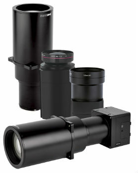
28th May 2019
Phase One Industrial Introduces Three High Performance Lenses
28th August 2018
Phase One Industrial Launches 150MP Metric Camera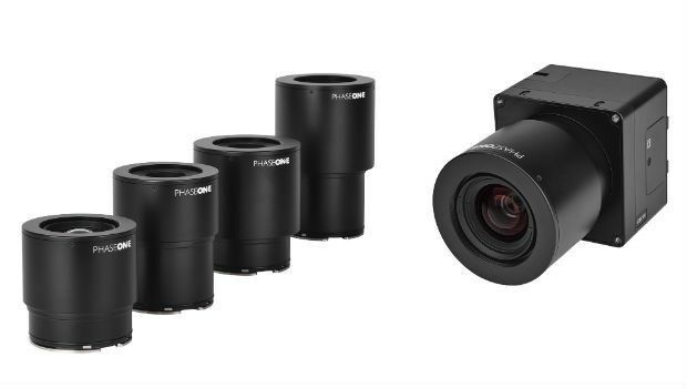
30th April 2018
Phase One Industrial Innovates UAV-based Aerial Imagery23rd March 2018
Phase One Industrial and Aerialtronics Sign Partnership Agreement
8th February 2018
CyArk and Phase One Partner to Preserve the World’s Cultural Heritage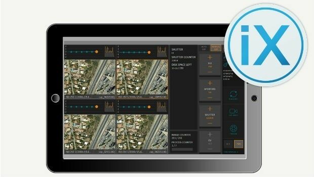
13th December 2017
Phase One Releases iX Capture 3.0 Software for Aerial Photography
3rd November 2017
Phase One Industrial partners with Drone Nerds20th September 2017
Phase One Industrial Introduces 190MP Aerial System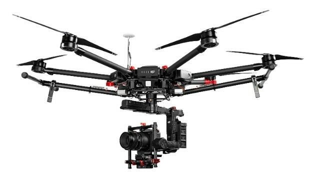
8th May 2017
Phase One Industrial Adds Support for DJI Drones6th September 2016
Phase One Industrial Innovates Four Band Aerial Imaging6th September 2016
Phase One Industrial Launches iXU-RS Aerial Camera Series
30th March 2016
Direct Georeferencing with Phase One iXU 150 Camera and POS AVX 210
5th November 2021
Phase One - P3 Payload Power Line Inspection Test Flight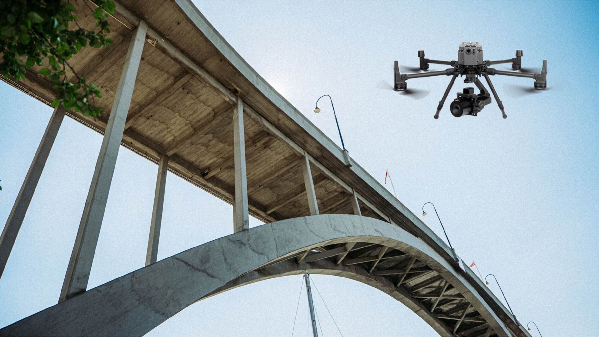
5th November 2021
Phase One - P3 Payload Bridge Inspection Test Flight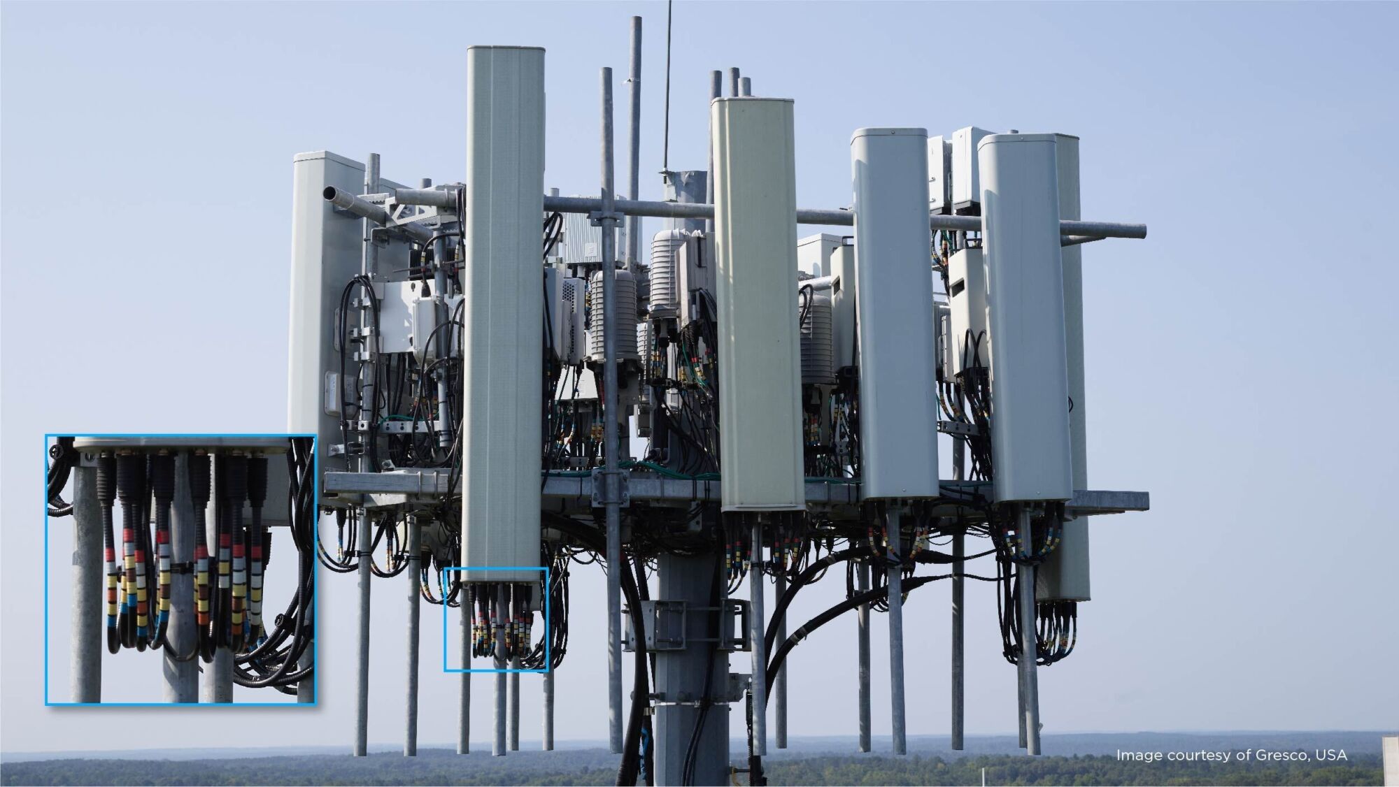
5th November 2021
Phase One - P3 Payload Cellphone Tower Inspection Flight