
Wingtra partners with 3DR to offer a complete aerial surveying solution
30th April 2019
Wingtra partners with 3DR to offer a complete aerial surveying solutionThe 2D and 3D measurement of points, distances and angles of features and objects on the Earth’s surface. See also Surveying Instrumentation topic. This topic covers the science and techniques that govern the 2D and 3D measurement of points, distances and angles of natural and man-made features and objects on the Earth’s surface. These measurements are acquired for a wide range of practical applications in construction, engineering, land use planning, mapmaking and cadastral projects, See also Surveying Instrumentation topic for the various tools employed to acquire survey measurements.
30th April 2019
Wingtra partners with 3DR to offer a complete aerial surveying solution
30th April 2019
SSTL announces new Earth Observation data contract with Airbus
30th April 2019
What’s behind the ground-breaking 3D habitat map of the Great Barrier Reef?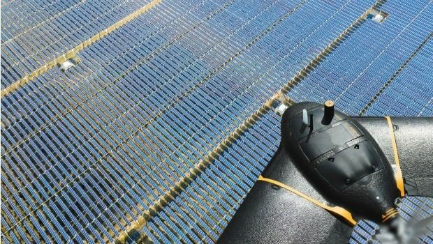
30th April 2019
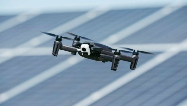
senseFly introduces the Solar 360 thermal drone solution
30th April 2019
Sonardyne technology chosen for new Canadian seabed observatory
30th April 2019
Helicopter Robinson Converted by UAVOS to Unmanned Drone30th April 2019
Fortem Technologies and Unifly Collaborate to Keep Airspace Safe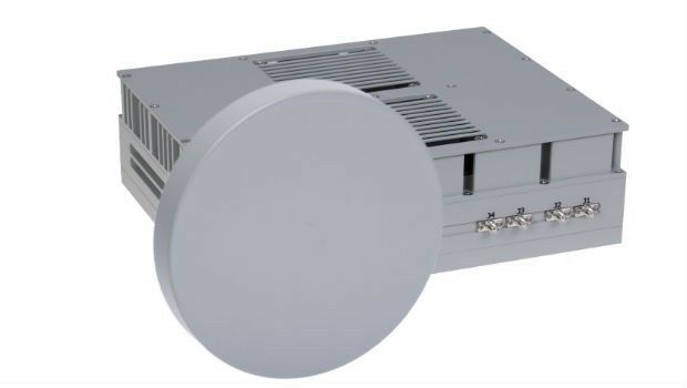
29th April 2019
DA-Group and Elbit Systems EW & SIGINT – Elisra Partner
27th April 2019
Geneq Inc. Announces New Website Launch For Its SXblue Products and Services
26th April 2019
Fugro’s free seminars reveal the benefits of smart site investigation
26th April 2019
Terra Drone Indonesia Performed Baseline Modeling
25th April 2019
Terra Drone and KDDI launch drone infrastructure inspection services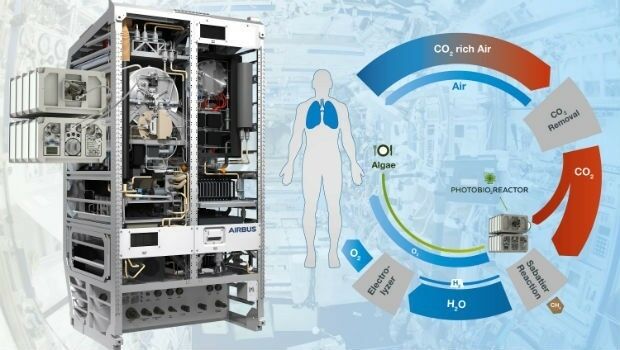
25th April 2019
Photobioreactor: oxygen and a source of nutrition for astronauts25th April 2019
RIEGL to Attend and Exhibit at AUVSI XPONENTIAL 2019 !24th April 2019
Brazil’s Civil Aviation Authority Approves senseFly Drones
24th April 2019
Advanced mapping and object tracking technology to be featured at AUVSI 2019-Airbus-Orbital-Insight.jpg)
24th April 2019
Airbus and Orbital Insight launch Earth Monitor24th April 2019
RIEGL to Attend and Exhibit at AEC BuildTech 2019!
23rd April 2019
Micro Optical Power Meter - Compatible with Single-Mode and Multi-Mode Networks22nd April 2019
GeoCue Releases New and Improved Way to Access Public LIDAR and Image Data
19th April 2019
Juniper Systems Limited Releases Two New Rugged Handheld Computers
18th April 2019
PARIS: Satellite Images of Notre Dame Cathedral

18th April 2019
Satellite Imagery: Before/After of Notre Dame Cathedral Fire17th April 2019
News from new autonomy and sensor distributor
17th April 2019
Optical Filters for Machine Vision Applications17th April 2019
“New technology vital to the future protection of our forests”17th April 2019
LEADING EDGE GEOMATICS LEVERAGES LiDAR TECHNOLOGY
16th April 2019
Fugro supports targeted maintenance of Dutch roads
16th April 2019
Space Flight Laboratory Reaches Century Milestone in Microspace Operations
15th April 2019
Parrot launches ANAFI Thermal drone worldwide15th April 2019
Outward Bound Chooses SPOT Gen3 Satellite Messengers
15th April 2019
Nanotron and Decawave shorten time to revenue
15th April 2019
Scientists chart history of vital Greenland Ice Sheet for first time

12th April 2019
UAVOS Developed New Auto-Tracking Antenna System f
12th April 2019
SimActive Software Used with eBee X for Shoreline Mapping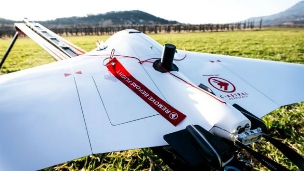
12th April 2019
Terra Drone acquires stake in Slovenia’s aerospace solutions provider C-Astral
11th April 2019
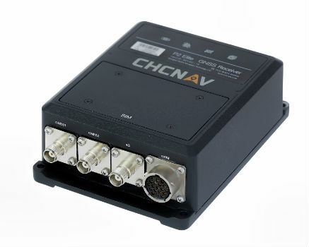
CHC Navigation introduces the P2 GNSS Sensor Series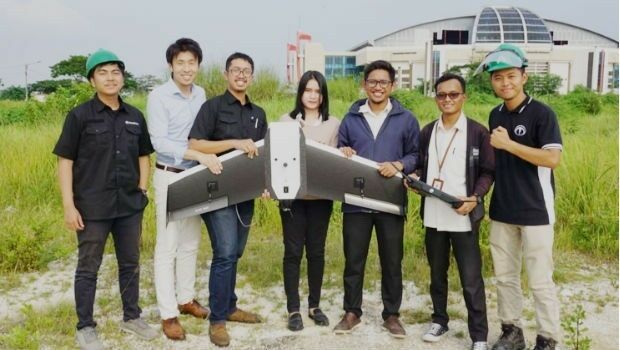
11th April 2019
Terra Drone Indonesia teams with Japan’s leading power industry research
10th April 2019
Trimble Announces High-Accuracy Field Solution for GIS Applications
10th April 2019
Paving process simplified with Topcon's latest launch10th April 2019
Hemisphere GNSS Announces Strategic Partnership with C-Nav®10th April 2019
Fugro Wins Gamechanger Award With Innovative Platform For Power Industry10th April 2019
NEW scanning robotic solution for vertical construction from Topcon