Oil Spill Response Limited (OSRL) Announces New Global UAV Service
8th February 2019
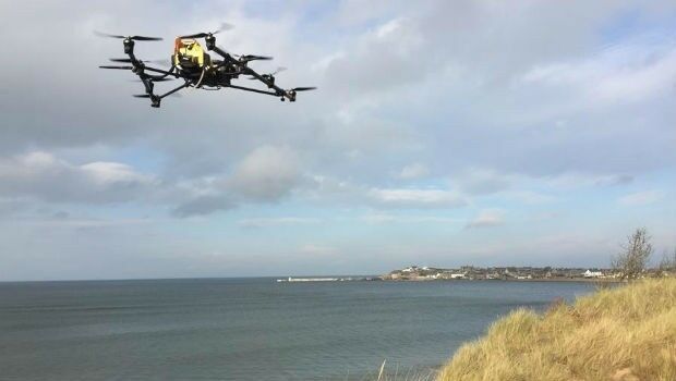
Oil Spill Response Limited (OSRL) Announces New Global UAV ServiceThe 2D and 3D measurement of points, distances and angles of features and objects on the Earth’s surface. See also Surveying Instrumentation topic. This topic covers the science and techniques that govern the 2D and 3D measurement of points, distances and angles of natural and man-made features and objects on the Earth’s surface. These measurements are acquired for a wide range of practical applications in construction, engineering, land use planning, mapmaking and cadastral projects, See also Surveying Instrumentation topic for the various tools employed to acquire survey measurements.
8th February 2019
Oil Spill Response Limited (OSRL) Announces New Global UAV Service
3rd February 2019
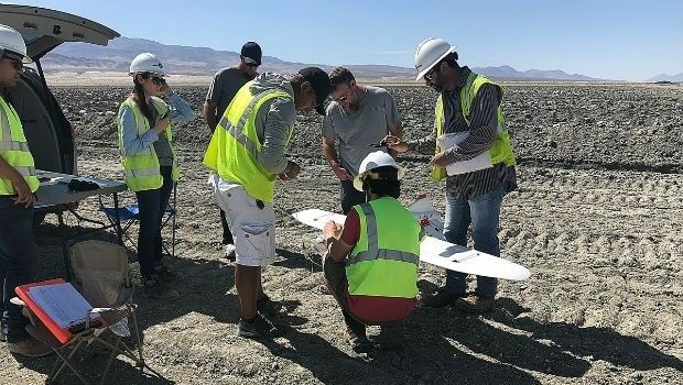
Lockheed Martin purchase an Aeromapper Talon UAS
2nd February 2019
Greenvalley International Launches Premium Handheld Mobile Mapping
1st February 2019
CompassDrone, Newest Division Of CompassData,
31st January 2019
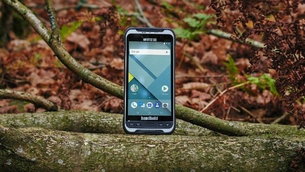
Handheld launches a new ultra-rugged Android phablet, the NAUTIZ X6
31st January 2019
Juniper Systems Limited Expands EMEA Team
31st January 2019
Juniper Systems Limited Announces New Technical Support Manager Role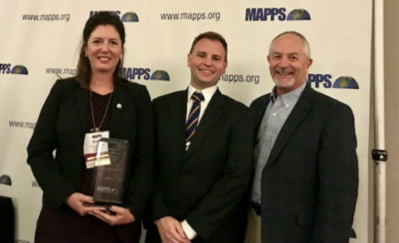
30th January 2019
RIEGL Wins the Prestigious MAPPS Geospatial Products

30th January 2019
Delair opens first customer service centers in the US21st January 2019
Geovation Programme returns for 2019 to help start-ups break through
19th January 2019
Fugro Uses Rapid Airborne Multibeam Mapping System (RAMMS)19th January 2019
Fugro Enhances IRM Capability With New Edda Sun ROV Support Vessel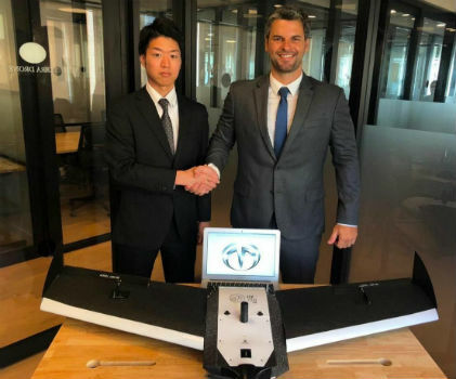
17th January 2019
Terra Drone Japan and Plimsoll UAV in Brazil sign a joint venture agreement17th January 2019
Routescene and Caddis Aerial launch UAV LiDAR surveys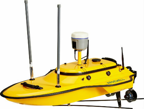
17th January 2019
CHC Navigation introduces the APACHE 3 portable USV Solution.
16th January 2019
Hexagon introduces rugged industrial computers for mining industry16th January 2019
Delair announces interoperability of high-precision PPK drone data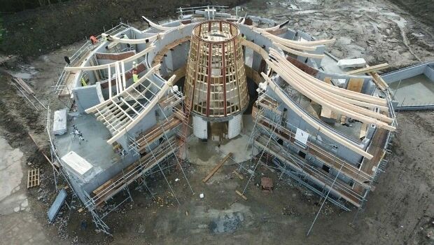
16th January 2019
Making History With The Help Of Topcon Technology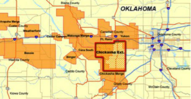
16th January 2019
CGG Continues to Expand Anadarko Basin Library
16th January 2019
Fugro To Deploy Unique Rila Technology In Network Rail Contract Win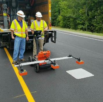
14th January 2019
Maine DOT Uses New GPR Technology to Improve Road Pavement Quality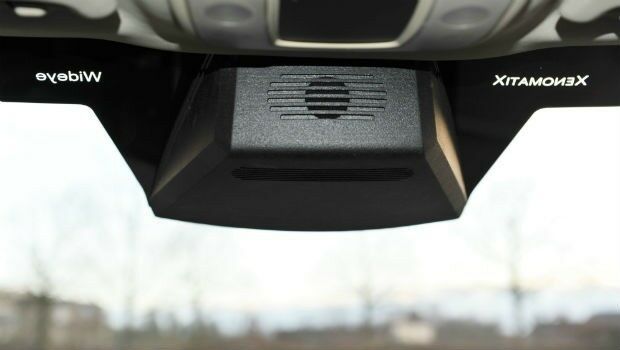
4th January 2019
A seamless integration of LiDAR sensors behind vehicles’ windshield2nd January 2019
u-blox seeks fair, reasonable and non-discriminatory (FRAND) licensing terms
21st December 2018
GSSI Showcases Its Latest GPR Technology at World of Concrete

20th December 2018
Headwall Photonics Further Builds Business in Europe
19th December 2018
Terra Drone South Africa succeeded the underground mining demonstration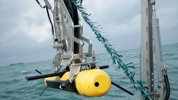
18th December 2018
Elbit Systems’ Seagull USV Completed Intensive Sea Tests

14th December 2018
AEP’s Extra High Voltage Electricity Transmission Assets In Oklahoma, USA
14th December 2018
Industry-Leading Efforts To Close Seabed Mapping Data Gap13th December 2018
Sercel Awarded Contract for Land Seismic Acquisition System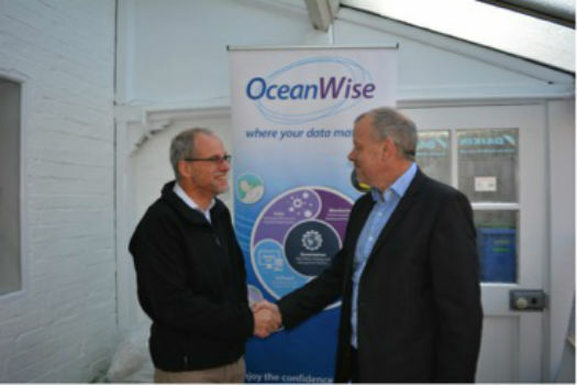
11th December 2018
OceanWise and State 21 re-affirm their partnership
11th December 2018
Gexcel presents the new HERON® Indoor Mobile Mapping System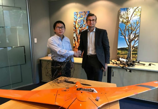
10th December 2018
Terra Drone Corporation buys major stake in C4D Intel Pty Ltd.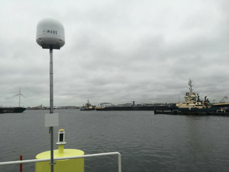
6th December 2018
Port of Amsterdam launches drone detection trial
6th December 2018
senseFly widens commercial strategy and announces new leadership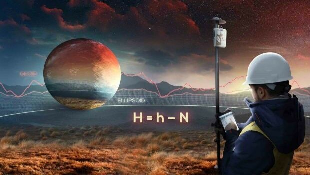
6th December 2018
Eos Announces Orthometric Height Support for Arrow GNSS Receivers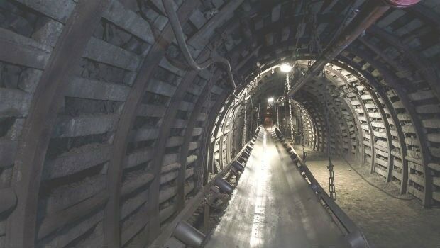
6th December 2018
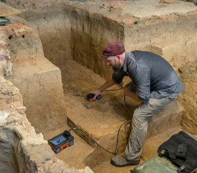
GSSI Collaborates with Jamestown Rediscovery Foundation