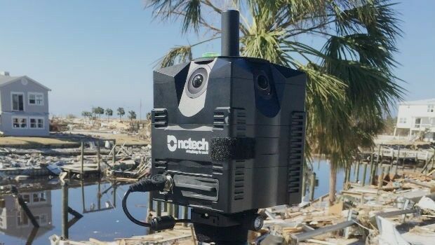
360-degree camera provides ground-based imaging following weather disasters
16th May 2019
360-degree camera provides ground-based imaging following weather disastersThe 2D and 3D measurement of points, distances and angles of features and objects on the Earth’s surface. See also Surveying Instrumentation topic. This topic covers the science and techniques that govern the 2D and 3D measurement of points, distances and angles of natural and man-made features and objects on the Earth’s surface. These measurements are acquired for a wide range of practical applications in construction, engineering, land use planning, mapmaking and cadastral projects, See also Surveying Instrumentation topic for the various tools employed to acquire survey measurements.
16th May 2019
360-degree camera provides ground-based imaging following weather disasters
16th May 2019
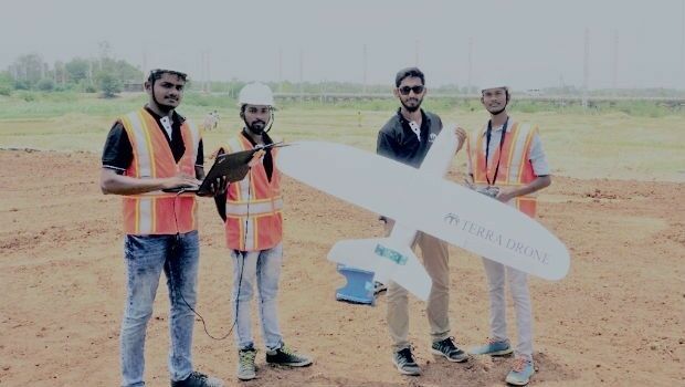
Terra Drone India and Vignan University set up drone lab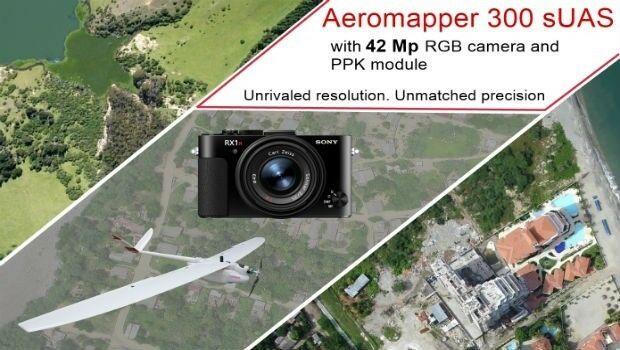
15th May 2019
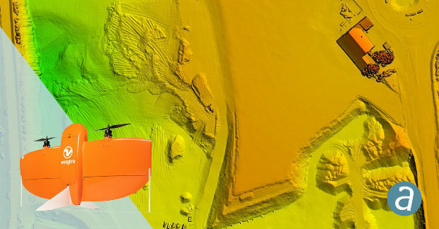
AEROMAPPER 300 & 42Mp camera with PPK bundle
15th May 2019
Geodata – the currency of the future centre stage at INTERGEO 2019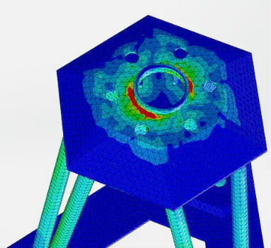
15th May 2019
Putting a revolutionary new offshore wind foundation to the test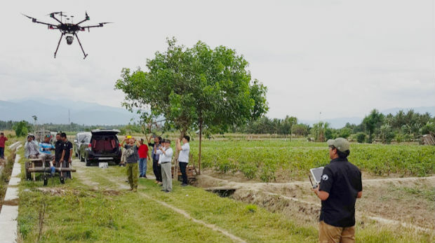
15th May 2019
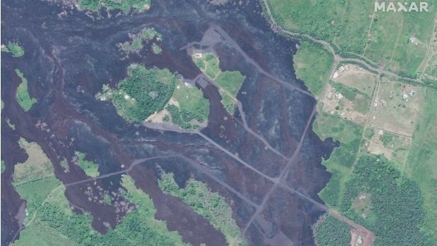
Satellite Imagery: Hawaii One Year After Kilauea Eruption
14th May 2019
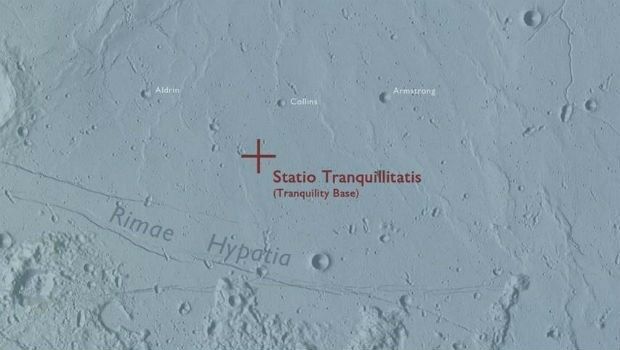
Ordnance Survey map commemorates 1969 moon landing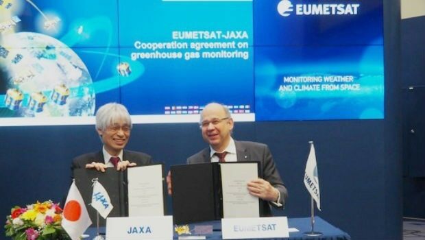
14th May 2019
EUMETSAT, Japanese space agency to cooperate on greenhouse gas monitoring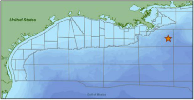
14th May 2019
CGG Begins First Multi-Client Ocean Bottom Node Survey_dipping_sonar_onboard_Seagull.jpg)
14th May 2019
The Israeli Navy Deployed its HELRAS equipped Seagull
14th May 2019
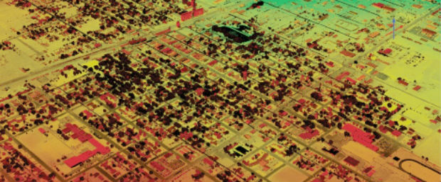
SimActive Software Enables Processing of Wingtra Drone Data14th May 2019
PCI Geomatics to showcase Analysis Ready Data tools
13th May 2019
Bluesky and Skyline Create Dynamic 3D City Models
10th May 2019
Unifly in top three 'hottest' European scale-ups at TNW Conference 2019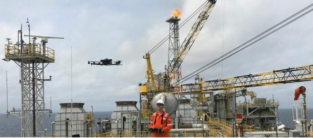
10th May 2019
Terra Drone opens Angola branch due to high demand from oil and gas industry

9th May 2019
Terra Drone India surveys 4,200 sq km in Maharashtra
8th May 2019
Rene Worms joins Atmos UAV as Head of Global Sales
8th May 2019
Infrastructure Inspection – UAS Are All Over It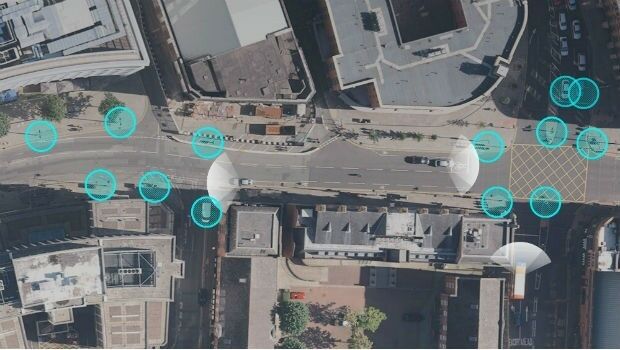

8th May 2019
CSA Completes Field Surveys Offshore Puerto Rico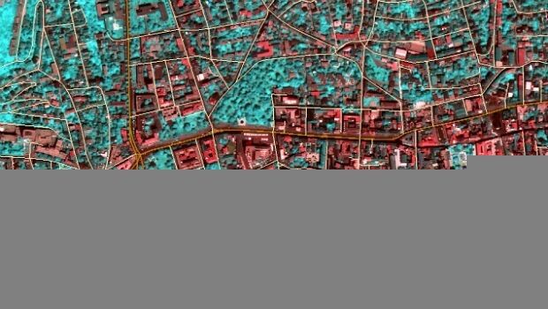
7th May 2019
TCarta teams up with King’s College London and wins ESA Funding7th May 2019
Firefighting drones are the future of fire safety7th May 2019
Globalstar Satellite IoT Devices for Smart Animal Tracking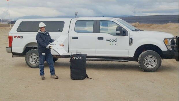
7th May 2019
Wood Adopts Delair UX11 UAV For Large Scale Surveying6th May 2019
Airbus takes next major step for Telesat’s LEO satellite constellation
6th May 2019
Airbus to build multimission satellite for MEASAT
6th May 2019
Hisdesat appoints Airbus and Thales Alenia Space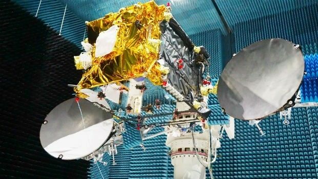
6th May 2019
Launch of the second SpaceDataHighway satellite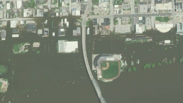
4th May 2019
Space Flight Laboratory Highlights Microspace Earth Observation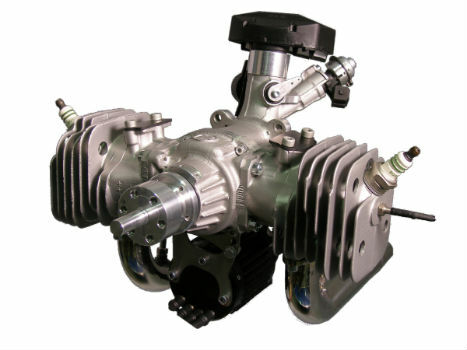
3rd May 2019
The Future is Two-Stroke: Hirth Engines Look to the Future of Hybrid UAVs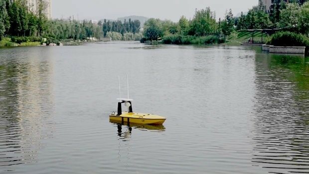
2nd May 2019
A new, high-performing USV for ocean surveying2nd May 2019
Submissions for Galileo Masters 2019 Open May 12nd May 2019
Samsung SDS and Telensa Partner for Smart City Infrastructure
1st May 2019
ISG Transforms BIM Delivery Using Pointfuse Laser Scanning Software
1st May 2019
Bench-Guard™ and Table-Guard™ - Laser Barriers

1st May 2019
Bluesky Tree Map Aids Natural Flood Management Project