
Terrestrial Mapping
Don't miss a beat, sign up to our newsletter
thinkWhere Helps Falkirk Tackle Poverty with Open Geographic Data
24th January 2019
thinkWhere Helps Falkirk Tackle Poverty with Open Geographic Data
Telefónica and Samsung Utilize LuxCarta’s Advanced Geodata
23rd January 2019
Telefónica and Samsung Utilize LuxCarta’s Advanced Geodata
Cadcorp announces Local Government Conference dates
17th January 2019
Cadcorp announces Local Government Conference dates

ERM Advanced Telematics Targets Car Sharing Market
16th January 2019
ERM Advanced Telematics Targets Car Sharing Market
OGC Seeks Public Comment on GroundwaterML v2.3 Candidate Standard
16th January 2019
OGC Seeks Public Comment on GroundwaterML v2.3 Candidate Standard
Startup disruptive technological solutions to be featured
9th January 2019
Startup disruptive technological solutions to be featured
Bristol Water renews annual subscription with Rezatec
9th January 2019
Bristol Water renews annual subscription with Rezatec
Cambridge-Based GeoSpock Secures £10 Million Additional Funding
9th January 2019
Cambridge-Based GeoSpock Secures £10 Million Additional Funding
GAF has been awarded a Framework Contract by the European Union Satellite Centre
21st December 2018
GAF has been awarded a Framework Contract by the European Union Satellite Centre
FREE Registration Opens for Ocean Business 2019
21st December 2018
FREE Registration Opens for Ocean Business 2019
OGC Announces its 110th Technical and Planning Committee Meeting
21st December 2018
OGC Announces its 110th Technical and Planning Committee Meeting
CDB Vector Data in GeoPackage Interoperability Experiment
19th December 2018
CDB Vector Data in GeoPackage Interoperability Experiment
Esri UK - annual conference call for papers
19th December 2018
Esri UK - annual conference call for papers

OGC appoints Kumar Navulur and Frank Suykens to Board of Directors
18th December 2018
OGC appoints Kumar Navulur and Frank Suykens to Board of Directors
First Global Awards Ceremony For Data Centre, Cloud And Edge Launched
12th December 2018
First Global Awards Ceremony For Data Centre, Cloud And Edge Launched
GeoPlace working with the Department of Transport
10th December 2018
GeoPlace working with the Department of Transport
Esri named a leader in location intelligence in Forrester Wave
6th December 2018
Esri named a leader in location intelligence in Forrester Wave
OGC seeks public comment on PipelineML candidate standard
6th December 2018
OGC seeks public comment on PipelineML candidate standard
Angus Council Harnesses Spatial Data with thinkWhere Cloud Tech
29th November 2018
Angus Council Harnesses Spatial Data with thinkWhere Cloud Tech
Announcing the OGC Energy & Utilities Summit
28th November 2018
Announcing the OGC Energy & Utilities Summit
Add Geographic Intelligence to your Software Projects
28th November 2018
Add Geographic Intelligence to your Software Projects
Adoption of two jointly developed OGC/W3C standards
27th November 2018
Adoption of two jointly developed OGC/W3C standards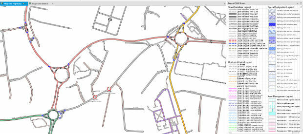
miso Releases OS Highways Network Translator to the OpenSource Community
27th November 2018
miso Releases OS Highways Network Translator to the OpenSource Community
Getmapping appoints Geosolutions Consultant
26th November 2018
Getmapping appoints Geosolutions Consultant
HERE Technologies has joined OGC as a Principal Member
22nd November 2018
HERE Technologies has joined OGC as a Principal Member
Royal Navy’s invitation to Maritime Information Warfare 2018
20th November 2018
Royal Navy’s invitation to Maritime Information Warfare 2018
Getmapping Announces New European Management Team Structure
20th November 2018
Getmapping Announces New European Management Team Structure
OGC seeks public comment on Hierarchical Data Format Version 5 (HDF5)
14th November 2018
OGC seeks public comment on Hierarchical Data Format Version 5 (HDF5)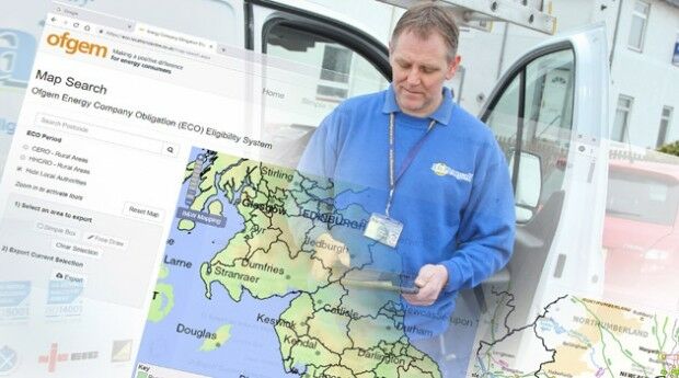
thinkWhere Online App Helps Regulator Tackle Fuel Poverty
13th November 2018
thinkWhere Online App Helps Regulator Tackle Fuel Poverty
The National Atlas of the Arctic — Limited Copies Now Available
10th November 2018
The National Atlas of the Arctic — Limited Copies Now Available
TSA steps up the campaign to halt equipment theft
9th November 2018
TSA steps up the campaign to halt equipment theft
Hexagon strengthens mine safety portfolio with enterprise platform
8th November 2018
Hexagon strengthens mine safety portfolio with enterprise platform
Map Maker AND joins the Esri Partner Network
7th November 2018
Map Maker AND joins the Esri Partner Network
Esri announces 20th annual GIS Day to be held on Nov 14
7th November 2018
Esri announces 20th annual GIS Day to be held on Nov 14.jpg)
Cyber Security Summit & Expo set to provide unrivalled content
25th October 2018
Cyber Security Summit & Expo set to provide unrivalled content
Macquarie Capital reach Financial Closure on Largest PPP Project
24th October 2018
Macquarie Capital reach Financial Closure on Largest PPP Project
Esri Announces Student Poster Competition
22nd October 2018
Esri Announces Student Poster CompetitionFraunhofer IPM supports route planning for fiber-optic networks
22nd October 2018
Fraunhofer IPM supports route planning for fiber-optic networks
OGC seeks public comment on Symbology Conceptual Core Model
22nd October 2018
OGC seeks public comment on Symbology Conceptual Core Model
Advanced subsurface insight is theme of Fugro geophysics seminar
18th October 2018
Advanced subsurface insight is theme of Fugro geophysics seminar
Hexagon Geosystems at GEO|Design+BIM 2018
18th October 2018
Hexagon Geosystems at GEO|Design+BIM 2018
GeoSLAM Welcomes New Member Of ZEB Family For Indoor + Outdoor Use
16th October 2018
GeoSLAM Welcomes New Member Of ZEB Family For Indoor + Outdoor Use
OGC adopts new revision to GML in JPEG 2000 (GMLJP2)
16th October 2018
OGC adopts new revision to GML in JPEG 2000 (GMLJP2)
OGC and Khronos Form a Liaison to Improve Interoperability
10th October 2018
OGC and Khronos Form a Liaison to Improve Interoperability