
INTERGEO CONFERENCE Keynote Speech on Thursday
9th October 2018
INTERGEO CONFERENCE Keynote Speech on Thursday
9th October 2018
INTERGEO CONFERENCE Keynote Speech on Thursday9th October 2018
GIS4SmartGrid 2018, 20-22 November, Amsterdam, Smart Grid Forums
4th October 2018
OGC requests comment on candidate standard: Geographic Information
3rd October 2018
USGIF Launches Third Annual EdGEOcation Giving Campaign3rd October 2018
Fugro Enhances Support For Oil And Gas Industry In Nigeria2nd October 2018
Extensis and LizardTech Unite as One Company
25th September 2018
Nanotron and Protran sign volume supply agreement
20th September 2018
Artificial intelligence has great strength in the interpretation of geodata19th September 2018
Global Mapper v.20 Now Available with Improved 3D Model Functionality14th September 2018
From cyber security to AI and Blockchain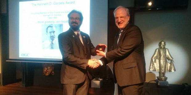
13th September 2018
Joan Masó receives OGC’s 2018 Gardels Award
13th September 2018
thinkWhere Announces GIS and data management training11th September 2018
Pitney Bowes Now Offering Data for Purchase Online
10th September 2018
Greenvalley International Launches New Premium Mobile Mapping Systems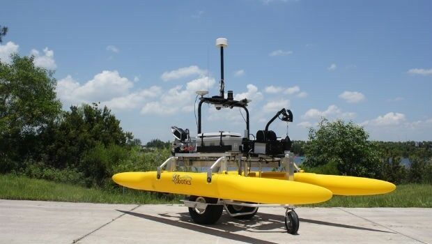
6th September 2018
SeaRobotics Delivers 3.6 Meter Collapsible ASV to USACE
6th September 2018
Garmin receives approval for the GFC 500 autopilot
4th September 2018
Artificial Intelligence in Geoinformatics Domain Working Group
30th August 2018
Hexagon Partners with Clevest to Improve Utility Field Operations28th August 2018
Siemens and Bentley partner in new digital solution
23rd August 2018
OGC seeks public comment on GeoPackage Related Tables Extension
22nd August 2018
"HERE topples Google to take first place" - Ovum*
21st August 2018
OGC Seeks Public Comment on MetOcean profile and extensions to WCS 2.121st August 2018
HawkEye 360 Announces Eagle Technology as Partner for New Zealand20th August 2018
OceanWise seek a “Front-End Web Systems Developer” to join their growing team
16th August 2018
Free Healthcare Data for Use with Maptitude 2018 Mapping Software15th August 2018
UrtheCast Announce Term Sheet for Purchase of Geosys15th August 2018
2018 URISA Exemplary Systems in Government Award Recipients Announced
14th August 2018
Orbit GT releases free Esri ArcOnline Widget
9th August 2018
Fugro’s New Ramms Technology Advances Bathymetric Lidar Mapping Capabilities9th August 2018
HERE location platform remains "undisputed" leader
9th August 2018
The DataBio project starts trials of 26 bioeconomy pilots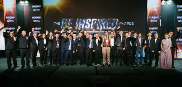
8th August 2018
Bentley Announces Finalists in the Year in Infrastructure 2018 Awards
7th August 2018
Urban-themed Location Powers Event Agenda Finalized
7th August 2018
1Spatial adds Linear Reference System (LRS) support to 1Integrate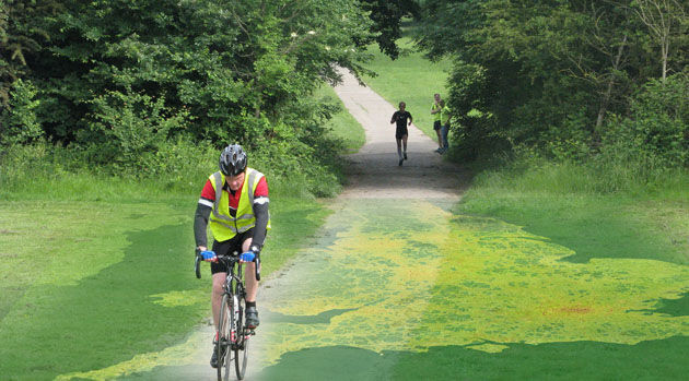
7th August 2018
EarthSense App Promotes Clean Air Routes for Exercise6th August 2018
1Spatial adds Linear Reference System (LRS) support to 1Integrate
26th July 2018
South Downs National Park Plans GIS Future with thinkWhere
24th July 2018
OS and Mountain Rescue ask people to keep cool this summer

20th July 2018
Bentley Systems Presents Synchro Software Solution
18th July 2018
Cadcorp provides third party quality assurance on workload modelling analysis for Surrey Fire and Re