
Skyline Software Systems Releases Photomesh™ 7.4
22nd May 2018
Skyline Software Systems Releases Photomesh™ 7.4Terrestrial and airborne laser (LiDAR) scanners for the collection of 3D point cloud data; software for processing and visualising point clouds and creating 3D models, and use cases for laser scanning
This topic covers the science, the hardware, and the software used to capture, process and apply 3D point cloud data. As well as airborne and terrestrial (tripod-based, vehicle-mounted and handheld) laser (LiDAR) scanners, the topic includes the proprietary and Open Source software employed to process point clouds and create 3D models. It also covers the many and varied uses for 3D laser scanning: topographic mapping, bathymetric mapping, utility mapping, engineering surveying, agriculture, forestry, geology, architecture, industrial facilities, cultural heritage, asset management and construction, collision avoidance in autonomous and semi-autonomous vehicles, and environmental modelling
22nd May 2018
Skyline Software Systems Releases Photomesh™ 7.4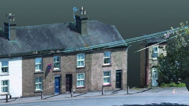
21st May 2018
KOREC invests in ‘New Generation’ Trimble MX9 Mobile Mapping System7th May 2018
GPI Geospatial Purchases RIEGL VQ-1560i Airborne LiDAR System!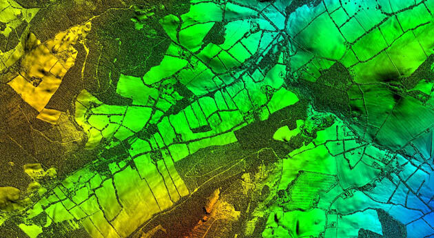
26th April 2018
Bluesky LiDAR Supports Major Irish Water Supply Project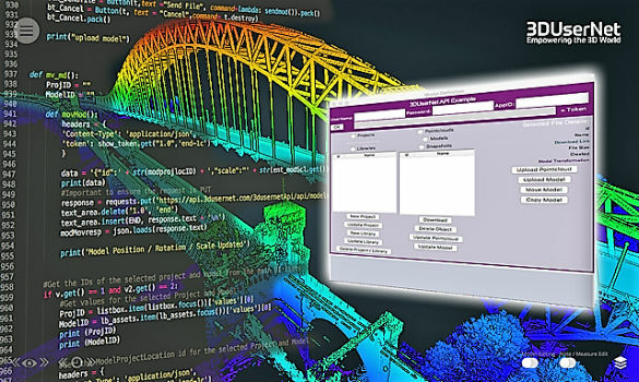
24th April 2018
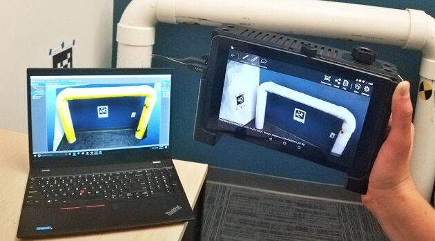
3DUserNet announced today the release of their first generation API.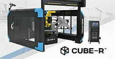
24th April 2018
Creaform and Metrologic Group announce Worldwide Partnership Agreement
19th April 2018
New Indoor Mobile Mapping System from NavVis5th April 2018
1Spatial awarded contract by the European Union Satellite Centre
19th March 2018
SCTX 2018: technology for greater security
15th February 2018
Micro to macro mapping -- Observing past landscapes via remote-sensing13th February 2018
AirGon LLC Appointed North American Distributor for YellowScan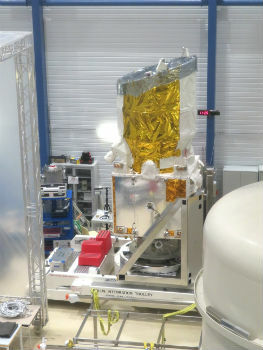
12th February 2018
Airbus-built Aeolus successfully passes all tests in Liège (Belgium)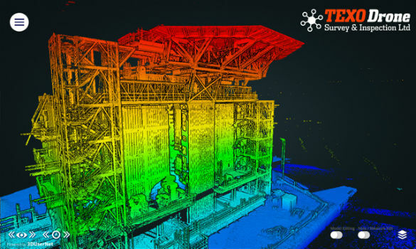
7th February 2018
3DUserNet To Power Texodrone Online 3D Data Platform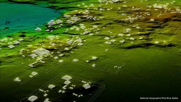
7th February 2018
Teledyne Optech Titan lidar enables discovery of extended Mayan ruins6th February 2018
Category Winners Announced at the Inaugural LIDAR Leader Awards Ceremony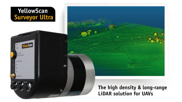
6th February 2018
YellowScan unveils its new UAV-LiDAR System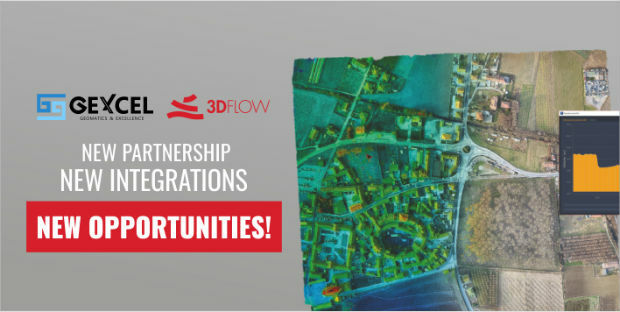
6th February 2018
A partnership to integrate LiDAR and Photogrammetric technologies
6th February 2018
Announcement at the International LiDAR Mapping Forum Symposium
4th February 2018
Orbit GT releases major update of 3D Mapping Cloud
2nd February 2018
3D Laser Mapping releases real-time automated mine monitoring solutions2nd February 2018
Blue Marble to Showcase Global Mapper's Pixels-to-Points™ Tool.jpg)
2nd February 2018
3D at Depth Completes 300 Offshore LiDAR Metrologies
1st February 2018
RIEGL Wins a Prestigious MAPPS Geospatial Excellence Award
31st January 2018
CGG GeoSoftware Donates Jason Reservoir Characterization Software
25th January 2018
3DUserNet Adds Point Cloud Clipbox and IFC and FBX Model Formats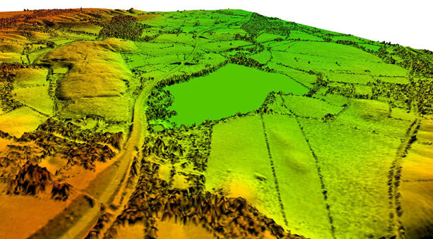
23rd January 2018
Bluesky Remote Sensing Data Improves Efficiency for WSP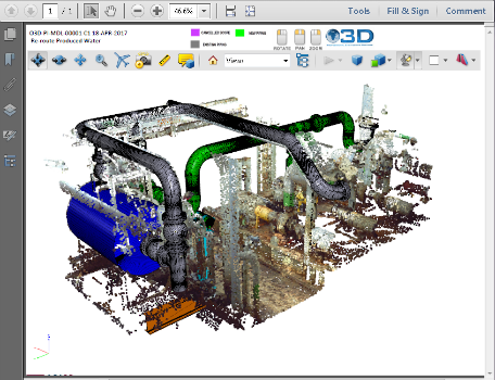
17th January 2018
PDF3D v2.15 Released with a host of New Features and Enhancements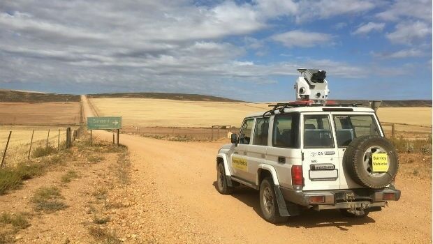
16th January 2018
Getmapping launches Mobile Mapping Survey Solutions to southern Africa
11th January 2018
Bluesky LiDAR Helps Wiltshire Council Tackle Flooding Risk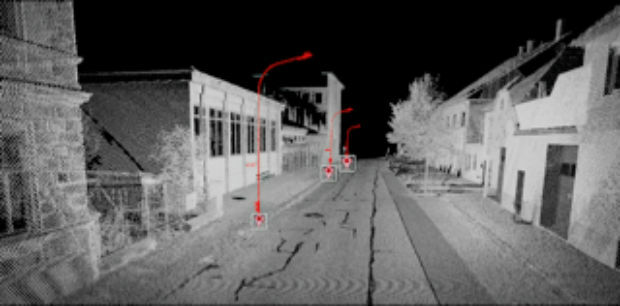
2nd January 2018
Orbit GT showcases Automated Pole and Bridge Clearance Detection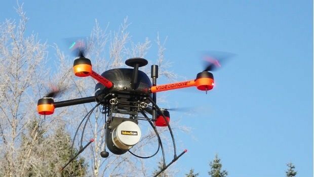
14th December 2017
Pointfuse Launch Point Cloud Software for DotProduct Scanners
12th December 2017
ASCO-DAITO selects Siteco Pave-Scanner Pavement Mobile Mapping System29th November 2017
Global Mapper Available with Photogrammetric Point Cloud Generation29th November 2017
Scientific-grade GNSS with Real Time Kinematic Satellite Navigation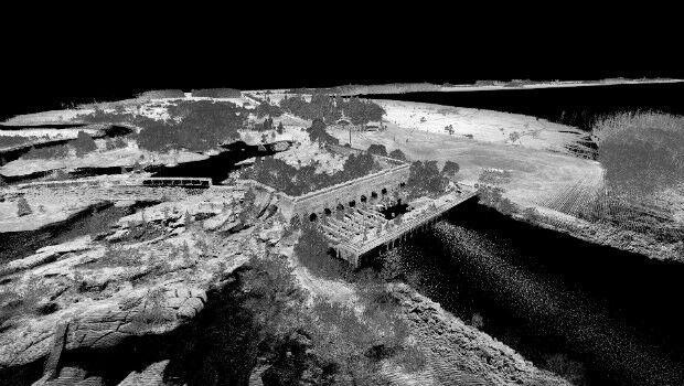
23rd November 2017
3D Laser Mapping launches campaign to release open-source LiDAR data20th November 2017
Announcement EuroSDR 2018 series of e-learning17th November 2017
Global Mapper SDK Now Available on Amazon Web Services16th November 2017
GeoCue adds Puerto Rico LIDAR data to Support Hurricane Recovery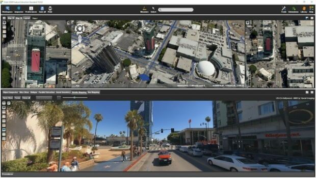
15th November 2017
Orbit GT releases 3D Mapping Feature Extraction Standard v1814th November 2017
DotProduct partners with Assemble Systems

2nd November 2017
Bluesky LiDAR Data Used by RPS to Assess Flood Risk for Anglian Water26th October 2017
Tulloch Mapping Purchases the FIRST RIEGL VMX-2HA!23rd October 2017
Commercial UAV Expo Announces Highlights of Upcoming 2017 Event