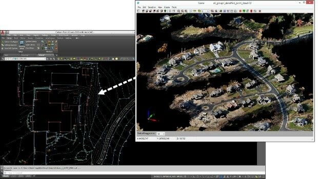
Virtual Surveyor Unveils Productivity Tools at Commercial UAV Expo
21st October 2017
Virtual Surveyor Unveils Productivity Tools at Commercial UAV ExpoTerrestrial and airborne laser (LiDAR) scanners for the collection of 3D point cloud data; software for processing and visualising point clouds and creating 3D models, and use cases for laser scanning
This topic covers the science, the hardware, and the software used to capture, process and apply 3D point cloud data. As well as airborne and terrestrial (tripod-based, vehicle-mounted and handheld) laser (LiDAR) scanners, the topic includes the proprietary and Open Source software employed to process point clouds and create 3D models. It also covers the many and varied uses for 3D laser scanning: topographic mapping, bathymetric mapping, utility mapping, engineering surveying, agriculture, forestry, geology, architecture, industrial facilities, cultural heritage, asset management and construction, collision avoidance in autonomous and semi-autonomous vehicles, and environmental modelling
21st October 2017
Virtual Surveyor Unveils Productivity Tools at Commercial UAV Expo
19th October 2017
Bluesky Apppoints Robert Carling and George Dey18th October 2017
Enhanced and Improved Functionalities for New Release of Global Mapper
16th October 2017
Topcon launches three new technology updates for the built environment
13th October 2017
Airborne LiDAR production fully integrated with Leica HxMap workflow

9th October 2017
Bluesky Celebrates 21st Birthday with New Corporate HQ
6th October 2017
Top honour in the Wichmann Innovations Award at INTERGEO 20175th October 2017
Commercial UAV Expo to include Workshops/Demos/Training
2nd October 2017
LAStools Win Big at INTERGEO Taking Home Two Innovation Awards
28th September 2017
RIEGL announces significant product news at INTERGEO
26th September 2017
Commercial UAV Expo Europe Moves to Amsterdam in April, 2018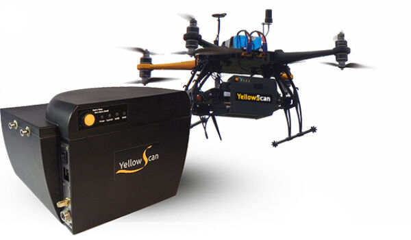
26th September 2017
YellowScan & Quantum Systems partnership21st September 2017
LizardTech Awarded U.S. Patent for LiDAR Point Cloud Compression19th September 2017
GeoCue Group Provides Free Lidar Data For Hurricane Impact Areas
19th September 2017
Pointfuse V3 Launch Offer Appeals to Twitter Users

12th September 2017
Shaping a New 3D World with Portal for Point Clouds and 3D Models
11th September 2017
Arithmetica Announces New Pointfuse License Options
7th September 2017
Faster, More Expansive Carlson Point Cloud for 201826th August 2017
Terra Drone is to release Terra Mapper a new image processing software
22nd August 2017
Atlas Dynamics to Launch Autonomous Professional Drone System
21st August 2017
Pointfuse V3 Point Cloud Software Announced
11th August 2017
Drone based LiDAR for Aberystwyth University global research
10th August 2017
Teledyne CARIS Releases New Version of Bathy DataBASE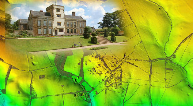
9th August 2017
Bluesky LiDAR Helps ArcHeritage Reveal Hidden Treasures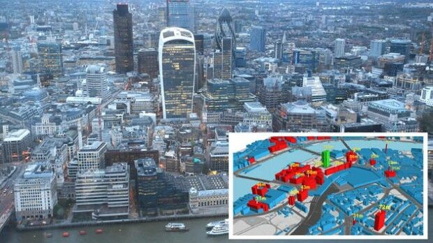
13th July 2017
Bluesky Launches Nationwide Map of Building Heights.jpg)
10th July 2017
Obstacle Obstruction Survey at Massachusetts Airport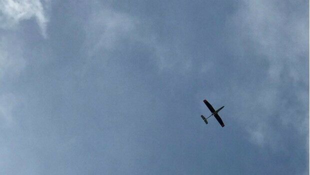
7th July 2017
Carbomap Ready to Map the World with Advanced LiDAR on Fixed-Wing UAV6th July 2017
DAT/EM Systems International Updates Landscape Software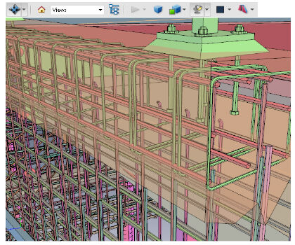
21st June 2017
PDF3D V2.14 Meets Demands of Drones, Scanners and 3D Design Apps14th June 2017
Blue Marble LiDAR Workshop at the Esri UC in San Diego

2nd June 2017
Driving into the future at simulated The Oxford Science Park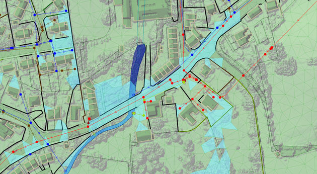
1st June 2017
Bluesky Laser Mapping Helps Create Flood Alleviation Model for Yorkshire Water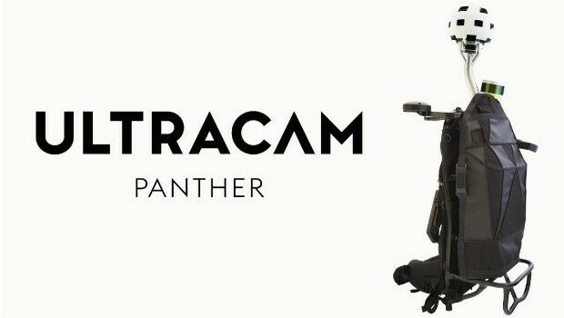
30th May 2017
Portable UltraCam Panther Offers High-Quality Imagery, Video and LiDAR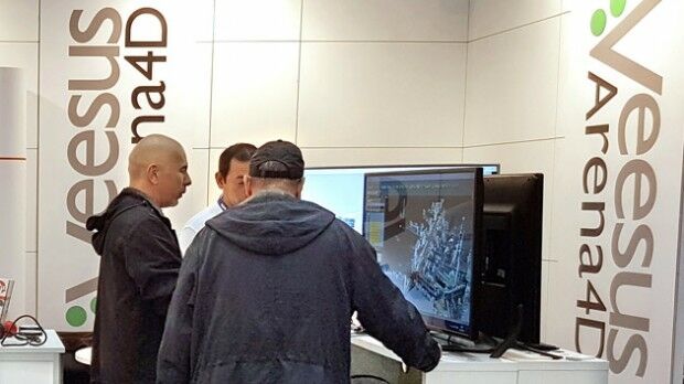
18th May 2017
Pointfuse Point Cloud Conversion in Arena4D at GEO Business 2017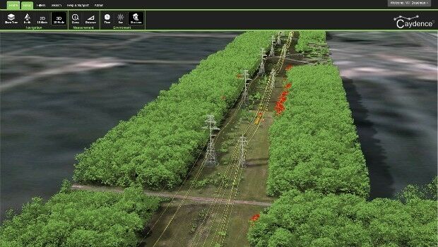
16th May 2017
NM Group assist Hydro One to develop LiDAR strate15th May 2017
Responding to Emerging Environmental Threats
15th May 2017
1Spatial releases dates for exciting FME World Tour, courses, webinars
15th May 2017
Bluesky National Tree Map Helps Daventry Plan Ground Maintenance8th May 2017
Essential Energy use innovative technology to manage vegetation
