_(002).jpg)
Proactive Claims Management For Self-Insured Corporate Fleets
21st July 2017
Proactive Claims Management For Self-Insured Corporate FleetsThe compilation, reproduction and dissemination of maps and charts by means of manual (analogue) or digital techniques, tools and workflows. This topic covers the compilation, reproduction, dissemination and use of both analogue (paper) and digital maps, charts and atlases. As well as the science of cartography, including georeferencing and geocoding, digital techniques for compiling and generating various types of raster and vector maps and charts are covered, as are the digital mapping tools and Geographic Information Systems available for this purpose. The application of cartography for aeronautical, terrestrial and marine purposes is also covered
21st July 2017
Proactive Claims Management For Self-Insured Corporate Fleets.jpg)
21st July 2017
Interactive digital map of African political violence developed.jpg)
21st July 2017
TCarta Marine provided with Spatial Data Package for Arabian Gulf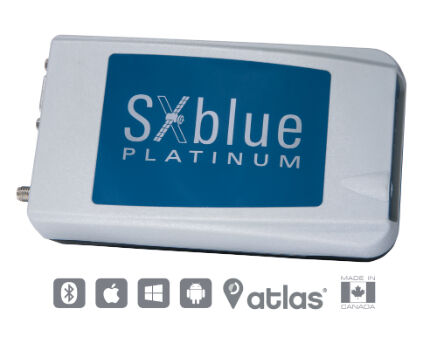
21st July 2017
SXblue Introduces Its Ultimate Survey Grade GNSS Receiver.jpg)
21st July 2017
Airbus built Sentinel-5 Precursor satellite ready for launch.jpg)
20th July 2017
Supporting Dubai’s drainage, sewage and storm water master plan20th July 2017
LizardTech and Extensis Optimize Digital Asset Management20th July 2017
OGC publishes results of international Arctic Spatial Data Pilot20th July 2017
UNICEF & Vanuatu Government Select Martek for UAS Vaccine Delivery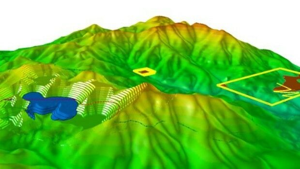
19th July 2017
Hexagon Mining Introduces HxGN Dynamic Haulage19th July 2017
Partners in Innovation – HM Land Registry and Ordnance Survey
19th July 2017
BARTHAUER expands nationwide support concept with Geoventis19th July 2017
GIS-Pro 2017 Supports GISP Certification Goals.jpg)
19th July 2017
Bentley Academic Program Suscribed by ETSICCP of Madrid19th July 2017
Yotta Seals Partnership with Engineering Consultancy Giant Ramboll.jpg)
19th July 2017
Emoji map by Europa Technologies wins Most Unique award at Esri UC.jpg)
17th July 2017
Fugro to Install New Undersea Power Cable in South Australia.jpg)
17th July 2017
Northumbrian Water Limited Targets Fleet Improvements with Ctrack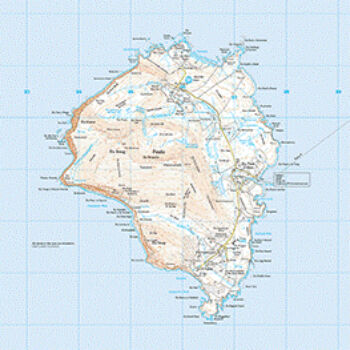
17th July 2017
Foula: the “missing place” in Great Britain.jpg)
15th July 2017
5th Edition of the Unmanned Cargo Aircraft Conference.jpg)
14th July 2017
New Engineering Focus on Developing Customized GPR Solutions.jpg)
14th July 2017
U.S. Army Corps Adds Global Mapper to its List of Approved Software13th July 2017
Esri and NXN Partner to Create Smart Cities Internationally13th July 2017
GSDI Small Grants Program Awards Announced.jpg)
13th July 2017
Waste Collection company installs trucks with ARBOR's IOT-800 HMI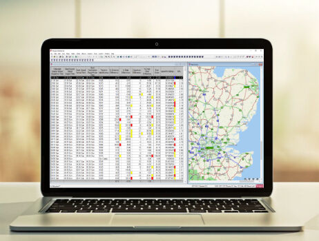
13th July 2017
Paragon Enhances Routing and Scheduling Software
13th July 2017
Barnsley Council drives efficiency with 1Spatial and FME.jpg)
12th July 2017
Learn More About Maptitude at the NCSL Annual Conference12th July 2017
The Science of Where Forward Recognized at Esri Awards12th July 2017
TerraGo Software Utilized for Official Guide to Hong Kong12th July 2017
Esri and Microsoft Join Forces to Accelerate Conservation

12th July 2017
8th BaSYS User Conference with record number of participants
12th July 2017
Martek UAS announce ‘Gareth Knowles’ as the first UAS Strategist11th July 2017
Esri Expands Its World Geocoding Service Capability11th July 2017
ArcGIS 10.5 Enterprise Architecture Powers DigitalGlobe's Offerings
11th July 2017
Iridium set to Make Global Maritime Distress and Safety System History.jpg)
11th July 2017
CATSURVEYS Launches their Purpose Driven Brand11th July 2017
UrtheCast and Esri partner in bringing imagery to life in ArcGIS
11th July 2017
Remote Geo LineVision available in the Esri Marketplace