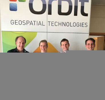
Orbit GT and WSP Group, Sweden update Gold Reseller status
26th June 2017
Orbit GT and WSP Group, Sweden update Gold Reseller statusThe compilation, reproduction and dissemination of maps and charts by means of manual (analogue) or digital techniques, tools and workflows. This topic covers the compilation, reproduction, dissemination and use of both analogue (paper) and digital maps, charts and atlases. As well as the science of cartography, including georeferencing and geocoding, digital techniques for compiling and generating various types of raster and vector maps and charts are covered, as are the digital mapping tools and Geographic Information Systems available for this purpose. The application of cartography for aeronautical, terrestrial and marine purposes is also covered
26th June 2017
Orbit GT and WSP Group, Sweden update Gold Reseller status26th June 2017
NGA to Join Forces at upcoming GEOINT & Open Source Analytics Summit23rd June 2017
GIS-Pro 2017 Workshops Will Cover Important Topics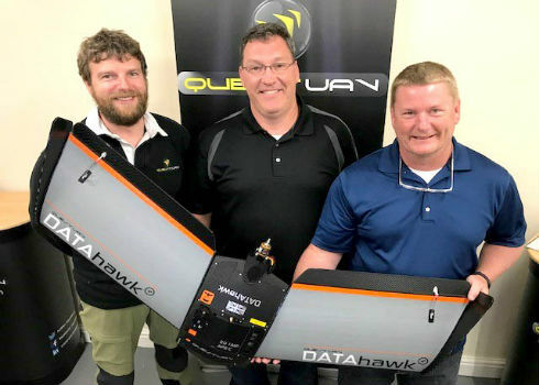
23rd June 2017
Precision Capture and QuestUAV Form Strategic Partnership
23rd June 2017
HR Wallingford rises to 15th place in NCE 100 rankings
23rd June 2017
Pix4D and Parrot announce the climate innovation grant winners
23rd June 2017
Experience the future of mobility in the Mobility Lab

22nd June 2017
SSTL selected to build third batch of Galileo navigation payloads22nd June 2017
Garmin selects HERE map data and traffic for Russian PNDs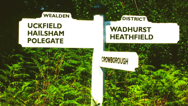
22nd June 2017
Cadcorp selected by Wealden District Council via G-Cloud for corporate GIS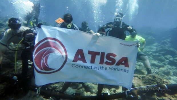
22nd June 2017
OSI Delivers Construction Phase of ATISA Network22nd June 2017
Airbus and partners launch ‘Starling’ satellite service
22nd June 2017
Cleveland Fire Brigade enhances service with Motorola's technology22nd June 2017
Global Mapper LiDAR Module v18.2 Now Available
22nd June 2017
Applanix Workshop on Direct Georeferencing for Airborne Mapping & Surveying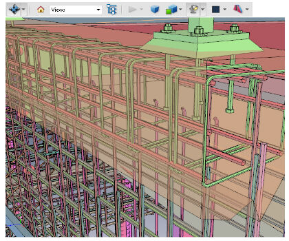
21st June 2017
PDF3D V2.14 Meets Demands of Drones, Scanners and 3D Design Apps
21st June 2017
Drone Inspections go nuclear with GPS and RADAR
21st June 2017
Gas safety top of the agenda for Martek Marine
21st June 2017
Elbit to supply DIRCM Systems for a VIP Gulfstream G650 Aircraft21st June 2017
Golden Software Releases Network Licenses for Surfer® and Grapher™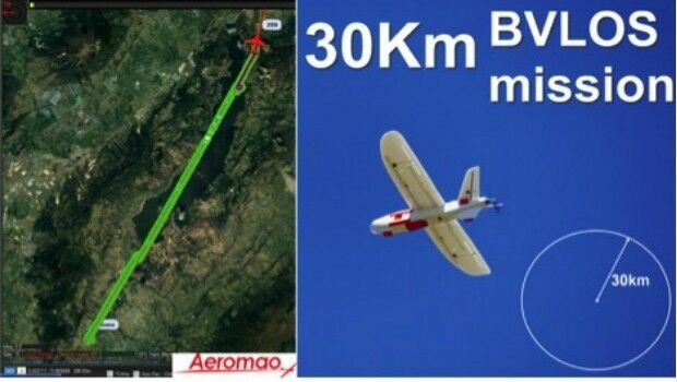
20th June 2017
Aeromapper Talon demonstrates BVLOS capabilities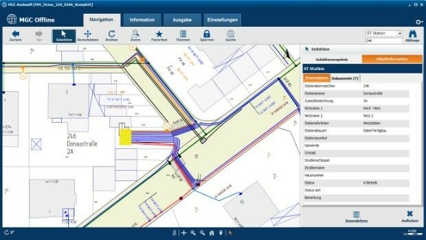
20th June 2017
Mettenmeier Integrates TatukGIS into MGC View Offline App
20th June 2017
CSA Unveils Release of the EDGSonline 2.0 Web-Based Mapping Platform20th June 2017
Digital image evaluation heading for new markets
20th June 2017
Motorola Solutions drive safety and efficiency at the Proving Ground20th June 2017
TomTom expands its global Traffic footprint to 64 countries20th June 2017
Dassault Systèmes and Airbus APWorks Collaborate
20th June 2017
CGG Wins Renewal of Dedicated Center Contract20th June 2017
Spanish Language Version of Global Mapper Now Available20th June 2017
PCI Geomatics to Present at Canadian EO Summit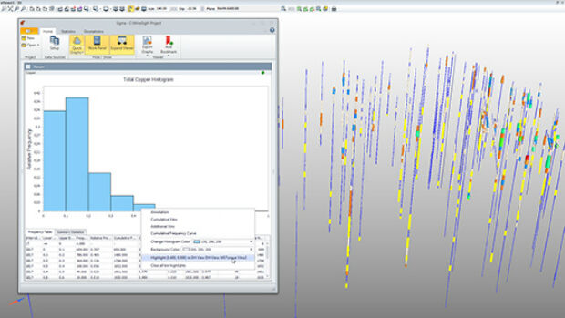
20th June 2017
Hexagon Mining introduces statistical tools for mine planning20th June 2017
Bentley Systems to Present at BIM4Water Summer Reception in London UK
20th June 2017
Fugro Returns to Borssele Offshore Wind Farm Zone to Survey for UXO
20th June 2017
What Depth can you Locate a Utility Service?
20th June 2017
Long awaited record breaking figures announced from Ocean Business!
19th June 2017
Terra Drone Delves Deeper Into the Australian Market
19th June 2017
KilletSoft converts Geodata for Navigation in free Map Services.


19th June 2017
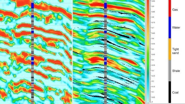
Geostatistical seismic reservoir characterization solution