
Multiple senseFly drones added to the list of compliant systems
23rd August 2017
Multiple senseFly drones added to the list of compliant systemsThe compilation, reproduction and dissemination of maps and charts by means of manual (analogue) or digital techniques, tools and workflows. This topic covers the compilation, reproduction, dissemination and use of both analogue (paper) and digital maps, charts and atlases. As well as the science of cartography, including georeferencing and geocoding, digital techniques for compiling and generating various types of raster and vector maps and charts are covered, as are the digital mapping tools and Geographic Information Systems available for this purpose. The application of cartography for aeronautical, terrestrial and marine purposes is also covered
23rd August 2017
Multiple senseFly drones added to the list of compliant systems23rd August 2017
Masternaut announces first integrated telematics-based insurance
23rd August 2017
Juniper Systems Limited Opens New Office, Welcomes Birgit Krassnitzer23rd August 2017
CCLD Takes Delivery of the RIEGL VUX-SYS!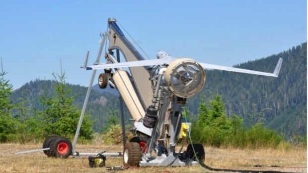
23rd August 2017
Real-time imagery for firefighters saves lives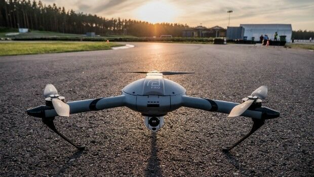
22nd August 2017
Atlas Dynamics to Launch Autonomous Professional Drone System22nd August 2017
Caliper Corporation: 2017 Sustained Growth22nd August 2017
ABPmer awarded RSPB Skinflats Managed Realignment
22nd August 2017
1Spatial grows its team of Safe Software FME Certified Trainers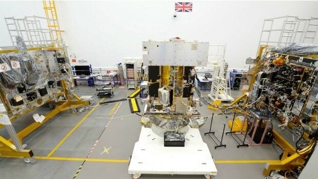
21st August 2017
Solar Orbiter on track to launch before next total solar eclipse
20th August 2017
Maptitude Sponsorship for MGGG Geometry of Redistricting Workshops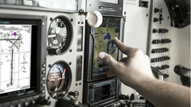
18th August 2017
Garmin receives EASA approval for new GTN 650/750 features18th August 2017
The Great Barrier Reef: Assessing its Health from Space17th August 2017
INTERGEO – where the future is within your grasp!
17th August 2017
The Science of Where to Work to Make Spatial Decisions17th August 2017
Airbus successfully tests Dispenser Structure for GRACE-FO satellites17th August 2017
News on exactEarth’s Small Vessel Tracking Service
16th August 2017
New rugged GPS receiver for marine surveyors
16th August 2017
TCarta Marine change the way dynamic environments are managed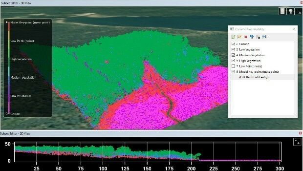
16th August 2017
KudanSLAM: 3D Recognition and Position Tracking Software16th August 2017
Global Mapper Certification Classes in Atlanta and Ottawa Announced16th August 2017
Timely, Objective Asset Data to be Delivered to the Public Sector16th August 2017
Vessel Salvage in Pacific Ocean Using ABPmer’s Weather Downtime Tool15th August 2017
World’s polluters escape detection with outdated approach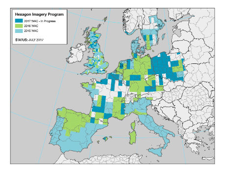
15th August 2017
Hexagon announces updates to 2017 airborne imagery collection plans15th August 2017
Yotta targets Latin American and North African market15th August 2017
Large Companies Target Energy Independent Electric Vehicles15th August 2017
Presenters promise revelations at Energy Independent Vehicle event15th August 2017
Gold Sponsor of 17th International Scientific and Technical Conference15th August 2017
20 Years of Continuous, Failure-Free Operations14th August 2017
Safety app to check-in with lone working staff around the clock14th August 2017
Digital Element’s location-based technology11th August 2017
Drone based LiDAR for Aberystwyth University global research11th August 2017
Michael P. Huerta to Deliver Grand Opening Keynote at InterDrone11th August 2017
Bentley Announces Finalists in 2017 "Be Inspired" Awards Program

10th August 2017
GeoSLAM Unveils Predictions For Engineering's Digital Future10th August 2017
CIRRUAS Drone Program for Public Safety Agencies10th August 2017
Airbus completes MetOp-C platform/payload coupling
10th August 2017
BARTHAUER securely positioned for the future10th August 2017
Metering infrastructure connectivity in remote areas solved