
Rotorcraft Asia 2019 and Unmanned Systems Asia 2019
25th March 2019
Rotorcraft Asia 2019 and Unmanned Systems Asia 2019The compilation, reproduction and dissemination of maps and charts by means of manual (analogue) or digital techniques, tools and workflows. This topic covers the compilation, reproduction, dissemination and use of both analogue (paper) and digital maps, charts and atlases. As well as the science of cartography, including georeferencing and geocoding, digital techniques for compiling and generating various types of raster and vector maps and charts are covered, as are the digital mapping tools and Geographic Information Systems available for this purpose. The application of cartography for aeronautical, terrestrial and marine purposes is also covered
25th March 2019
Rotorcraft Asia 2019 and Unmanned Systems Asia 201922nd March 2019
Bury Council Turns to Yotta for Highways and Street Lighting Maintenance21st March 2019
Malaysia’s Sapura Group announced as Host Operatorfor world-leading CCW

21st March 2019
Marathon Des Sables 2019 athletes to use Globalstar’s SPOT Gen3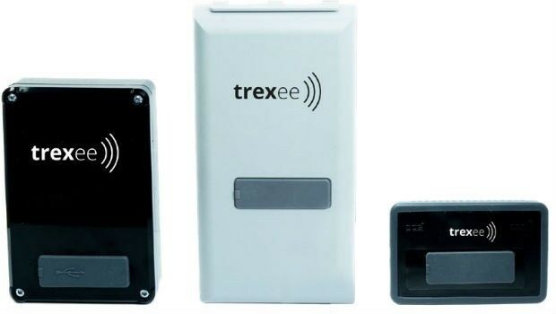
21st March 2019
Airbus bluelight solutions now available on UK’s Data and Applications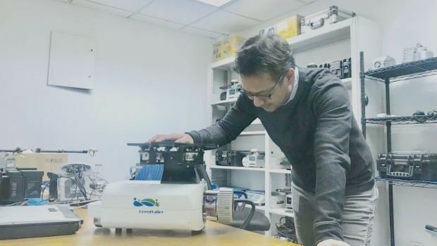

21st March 2019
Sercel Extends Boundaries of Well Exploration with SigmaWave
20th March 2019
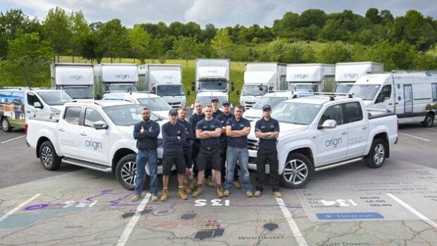
Maxoptra Routing Software Scores Top Marks from Origin
20th March 2019
Eos Positioning Systems Receives 2019 Esri Partner Conference Award
20th March 2019
Sercel Optimizes Vibroseis Productivity with Launch of Vibrator Auto-Guidance20th March 2019
Europe’s Smartest Cities to Join Host City Amsterdam for IMPACT>MOBILITY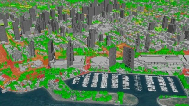
20th March 2019
LuxCarta Announces Availability of Geodata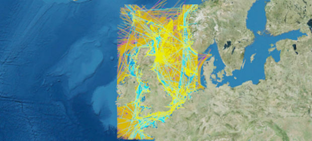
19th March 2019
Orbit GT releases SDK and QGIS Plugin v19.3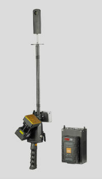
19th March 2019
New GeoSLAM Scanner Combines Detailed Data Points With Hi-Res Imagery
19th March 2019
Waterproof Drones Solves Mapping & Inspection On Marine Areas
19th March 2019
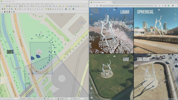
Interactive, fully immersive 3D buildings online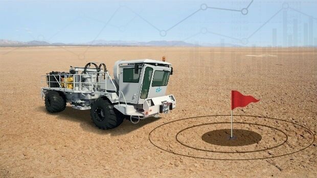

18th March 2019
How PrecisionHawk Helped History Hunt for Buried Treasure
18th March 2019
Reliable Environmental Monitoring Data from Anywhere to Anyone!18th March 2019
Offshore Survey 2019 Announces Keynote Speakers
18th March 2019
UAVOS Presented A Simulator For Training Of The Customers' Staff
18th March 2019
Orbit GT selected in Top 5 for Smart Territories award at BIM World, Paris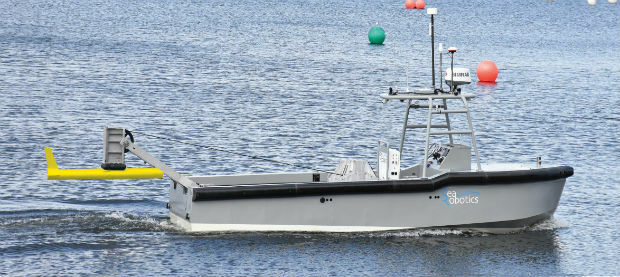
16th March 2019
SeaRobotics Corporation launches the SR-ENDURANCE 7.0
15th March 2019
OGC invites you to a rail-themed Integrated Digital Built Environment
14th March 2019
CompassCom® is Releasing CompassTrac® v7.3 MRM/ IoT Platform
14th March 2019
ADT and SFARA launches comprehensive fleet safety & compliance


14th March 2019
Rail Museum turns spotlight on role of Fugro's geotechnical expertise in HS2
14th March 2019
CycloMedia Technologies is Associate Sponsor at Geospatial World Forum 2019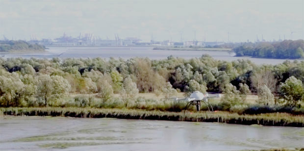
14th March 2019
DFS takes leading position in the UTM world by investing in Unifly13th March 2019
The country’s most detailed map of roads and footways unveiled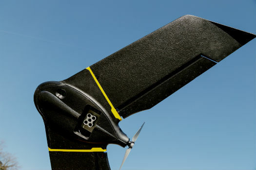
13th March 2019
Introducing the senseFly eBee X with MicaSense RedEdge-MX
13th March 2019
PIX4D announces first user conference in Denver, Colorado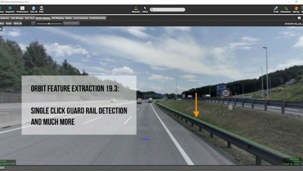
13th March 2019
Orbit GT releases version 19.3 of its 3D Mapping portfolio
12th March 2019
Fugro Strengthens Integrated Uxo Services For Offshore Renewables In Europe
12th March 2019
Oracle is Associate Sponsor at Geospatial World Forum 201912th March 2019
Berlin Airport Now Provides Mobile Wayfinding To Guide Travelers!