
Age of Drones Expo is coming: first time in Dortmund, Germany
19th May 2016
Age of Drones Expo is coming: first time in Dortmund, GermanyThe compilation, reproduction and dissemination of maps and charts by means of manual (analogue) or digital techniques, tools and workflows. This topic covers the compilation, reproduction, dissemination and use of both analogue (paper) and digital maps, charts and atlases. As well as the science of cartography, including georeferencing and geocoding, digital techniques for compiling and generating various types of raster and vector maps and charts are covered, as are the digital mapping tools and Geographic Information Systems available for this purpose. The application of cartography for aeronautical, terrestrial and marine purposes is also covered
19th May 2016
Age of Drones Expo is coming: first time in Dortmund, Germany19th May 2016
GreenRoad to Exhibit at Brake Fleet Safety Conference
19th May 2016
OGC requests comment on revision of its GWML2 specification18th May 2016
Septentrio Introduces “Future Proof” GNSS RTK Technology for Surveyors18th May 2016
Harris Geospatial Solutions to Offer Icaros OneButton™ with ENVI®18th May 2016
indoo.rs identified as one of the best Indoor Navigation Providers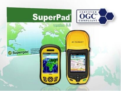
18th May 2016
The Whole New Update of Leading Mobile GIS—SuperPad 3.3
18th May 2016
Swiss Environmental Consulting Firm Chooses SuperGIS Desktop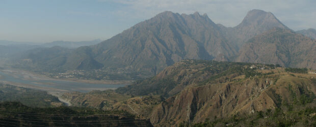
18th May 2016
New study finds earthquake threat from the Riasi fault in Himalayas
18th May 2016
GSDI 15 World Conference: Menno-Jan Kraak joins keynote speaker lineup18th May 2016
Pitney Bowes Helps Organizations with Geolocation Software Solutions18th May 2016
USGIF Launches Universal GEOINT Certification Program
18th May 2016
Peter Hedlund appointed new Managing Director of OS International
18th May 2016
New 3D Modelling application to save money and time
18th May 2016
CGG Registered by CNH to Estimate Reserves in Mexico
17th May 2016
Handheld Introduces its First Intrinsically Safe Ultra-Rugged Computer17th May 2016
Poor countries to bear brunt of climate change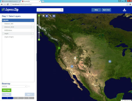
16th May 2016
LizardTech Launches Express Server 9.5 at GEOINT 2016 Symposium
16th May 2016
OGC's 99th Technical & Planning Committee Meetings Announced
16th May 2016
Full Programme announced for Key IMCA Contracting Seminar16th May 2016
New tool supports Global Intelligence Community

16th May 2016
Airbus Defence and Space opens a ground station in Australia
16th May 2016
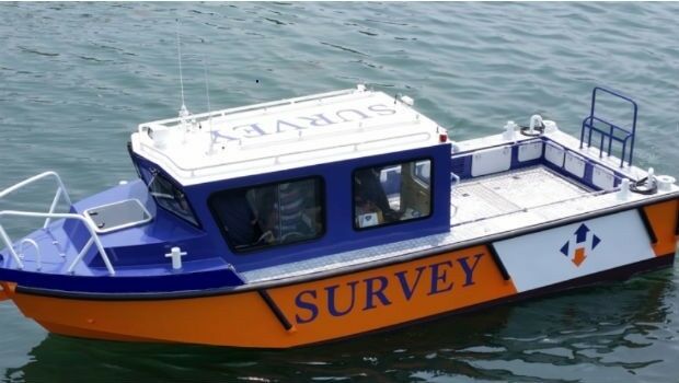
Horizon Launch High Spec Nearshore Survey Boat15th May 2016
Esri Wins TM Forum Live! Award for Internet of Things Project13th May 2016
1Spatial News: Gold Sponsors of Esri UK Annual Conference

13th May 2016
Second Women in Drones Event Planned for InterDrone

13th May 2016
indoo.rs joins the Wayfindr Alliance to support the visually impaired13th May 2016
HERE announces members of the new Supervisory Board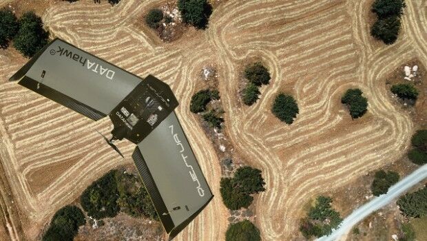
13th May 2016
QuestUAV complete reseller rollout of Q-100 DATAhawks12th May 2016
Itron Brings Analytic Outcomes as a Service to Utilities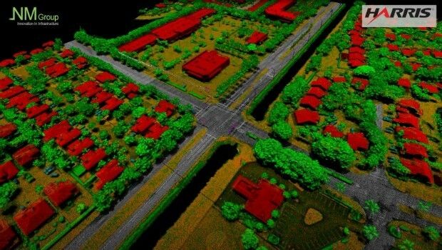
12th May 2016
NM Group collaborate with Harris Corporation

12th May 2016
A GeoPlace commissioned study projects net benefits up to £202 million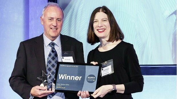
12th May 2016
David Lloyd wins Peer Award at GeoPlace Exemplar Awards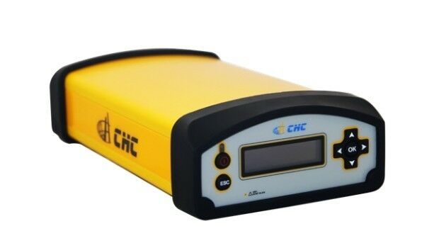
11th May 2016
UAVAir train candidates for better standard of drone pilot graduates11th May 2016
OGC adopts WaterML2.0 Part 2 - Ratings, Gaugings and Sections Standard11th May 2016
Ordnance Survey select Solent Mind as new corporate charity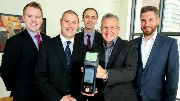
11th May 2016
Esri Ireland & Leica put accuracy into the hands of field workers