
Itron’s OpenWay Riva™ IoT Solution Receives Grid Edge 2016 Award
21st April 2016
Itron’s OpenWay Riva™ IoT Solution Receives Grid Edge 2016 AwardThe compilation, reproduction and dissemination of maps and charts by means of manual (analogue) or digital techniques, tools and workflows. This topic covers the compilation, reproduction, dissemination and use of both analogue (paper) and digital maps, charts and atlases. As well as the science of cartography, including georeferencing and geocoding, digital techniques for compiling and generating various types of raster and vector maps and charts are covered, as are the digital mapping tools and Geographic Information Systems available for this purpose. The application of cartography for aeronautical, terrestrial and marine purposes is also covered
21st April 2016
Itron’s OpenWay Riva™ IoT Solution Receives Grid Edge 2016 Award
21st April 2016
AVEVA Engage transforms collaborative decision-making
21st April 2016
Setting the Standard for Survey Equipment Hire
21st April 2016
Toughest mountain bike race selects SPOT Gen3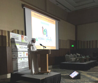
21st April 2016
Smart Parking Qatar 2016 successfully launched
21st April 2016
Leica Geosystems wins 2 Red Dot Design Awards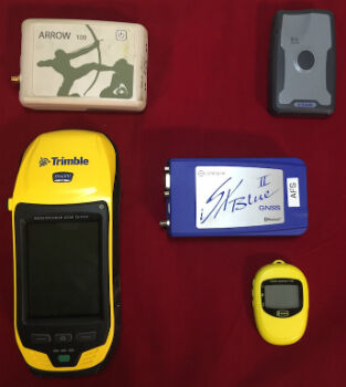
20th April 2016
Anatum Field Evaluation of Bluetooth GNSS Receivers
20th April 2016
Win a Steve Backshall school visit with #wildlifemap competition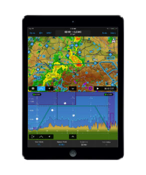
20th April 2016
Garmin® introduces major enhancements to Garmin Pilot™20th April 2016
Global maps from Europa helps to define no-fly zones for drones20th April 2016
MicroPilot Selects Spirent GNSS Simulators
20th April 2016
Mesa 2 Rugged Windows Tablet is Now Shipping20th April 2016
Trimble Announces Call for Speakers for its 2016 Dimensions User Conference20th April 2016
Geotab's new personalized customer support for telematics20th April 2016
Unlocking Unlimited Potential for Utilities
19th April 2016
OneWeb Satellites completes its industrial organization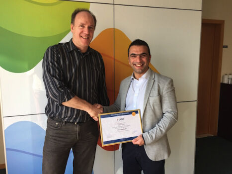
19th April 2016
Orbit GT and Topcon Positioning MEA, UAE, sign reseller agreement19th April 2016
Yotta Helps Wigan Council Optimise Highways Asset Management19th April 2016
MobileMapper 300 Now Driven by DigiTerra Explorer v719th April 2016
South Australia Water Ensures Customer Supply using Bentley's Amulet19th April 2016
Esri UK Receives Prestigious Geographical Association Publishers Award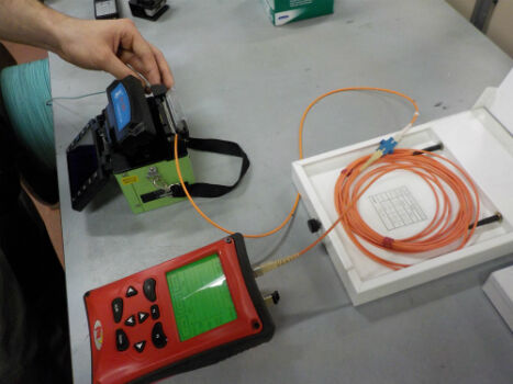
19th April 2016
Novacavi engineered hybrid cable for optical transmission systems19th April 2016
European retail in 2016: Slow but real-value growth
19th April 2016
World Road Association appoints Christoph Walther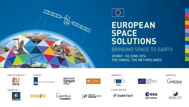
19th April 2016
Space solutions for climate change and the environment: 1-day workshop
19th April 2016
Southern Africa Energy & Infrastructure Summit
19th April 2016
Over 50% off Trimble Business Center. It’s a Big Deal.18th April 2016
Final Stage of SPOT Gen3® Messenger Rollout
18th April 2016
With iXBlue, the future of positioning is now18th April 2016
Emapsite launches postcode-level UK windstorm peril model18th April 2016
Yotta Heralds European Expansion with Raft of New Appointments
18th April 2016
ABPmer delighted with Fishbourne ferry terminal planning permission
18th April 2016
Key DP Documents Revised and Published by IMCA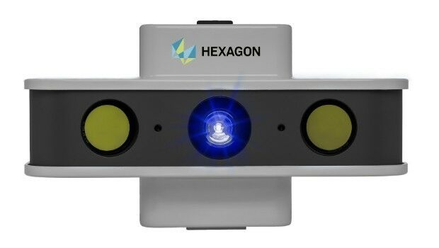
18th April 2016
NEW! PrimeScan: Entry-level solution for precise 3D digitization
18th April 2016
MapAction mobilises humanitarian mapping team for Ecuador earthquake


15th April 2016
Topcon demonstrates Smart Working Tech at Geo Business
15th April 2016
eeGeo Joins the Cisco Solution Partner Program
15th April 2016
TomTom and PSA Group Drive EU Ministers in Autonomous Vehicles
15th April 2016
Renishaw welcomes Measutronics Corporation to its distributor network15th April 2016
DigitalGlobe Delivers First Phase of Mapping Initiative for Australia14th April 2016
Eight new custom fleet management reports now available14th April 2016
Maptitude Provides Awards & Prizes for AAG Student Paper Competition14th April 2016
Launch of second satellite in 'radar vision' mission