
Cartography
The compilation, reproduction and dissemination of maps and charts by means of manual (analogue) or digital techniques, tools and workflows. This topic covers the compilation, reproduction, dissemination and use of both analogue (paper) and digital maps, charts and atlases. As well as the science of cartography, including georeferencing and geocoding, digital techniques for compiling and generating various types of raster and vector maps and charts are covered, as are the digital mapping tools and Geographic Information Systems available for this purpose. The application of cartography for aeronautical, terrestrial and marine purposes is also covered
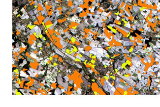
Wanted: Mobile Apps to Handle Big Data from Space
6th June 2016
Wanted: Mobile Apps to Handle Big Data from Space
SonarMite™ Drivers now Available for Trimble Access Field Software
4th June 2016
SonarMite™ Drivers now Available for Trimble Access Field Software
Seafloor adds a Second Reson SeaBat T50-P MBES to Rental Pool
4th June 2016
Seafloor adds a Second Reson SeaBat T50-P MBES to Rental Pool
Esri Brings GIS to Young Developers for National Day of Civic Hacking
3rd June 2016
Esri Brings GIS to Young Developers for National Day of Civic Hacking
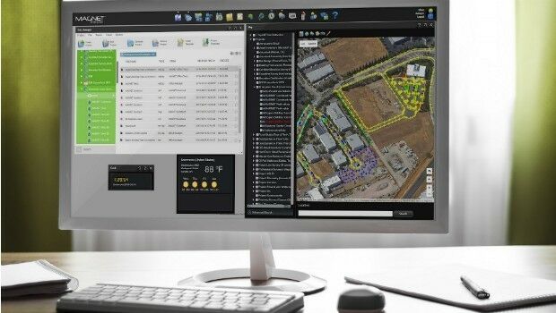
Topcon and Bentley integration between MAGNET 4.0 and ProjectWise
3rd June 2016
Topcon and Bentley integration between MAGNET 4.0 and ProjectWise.jpg)
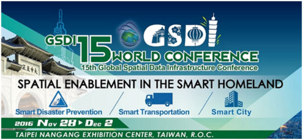
By popular demand the GSDI 15 Conference Abstract Deadline is 1 July
3rd June 2016
By popular demand the GSDI 15 Conference Abstract Deadline is 1 July
Underwater ‘lost city’ found to be geological formation
2nd June 2016
Underwater ‘lost city’ found to be geological formation
Quartix Ranked #1 of the UK’s Top 50 Quoted Tech Companies
2nd June 2016
Quartix Ranked #1 of the UK’s Top 50 Quoted Tech Companies
Airbus Defence and Space to guide lunar lander to the Moon
2nd June 2016
Airbus Defence and Space to guide lunar lander to the Moon
Airbus D&S and Telespazio France provide service for French Navy
2nd June 2016
Airbus D&S and Telespazio France provide service for French Navy
Next generation DAS to improve comms for first responders
2nd June 2016
Next generation DAS to improve comms for first respondersRegistration Now Open for Trimble Dimensions 2016 User Conference
2nd June 2016
Registration Now Open for Trimble Dimensions 2016 User Conference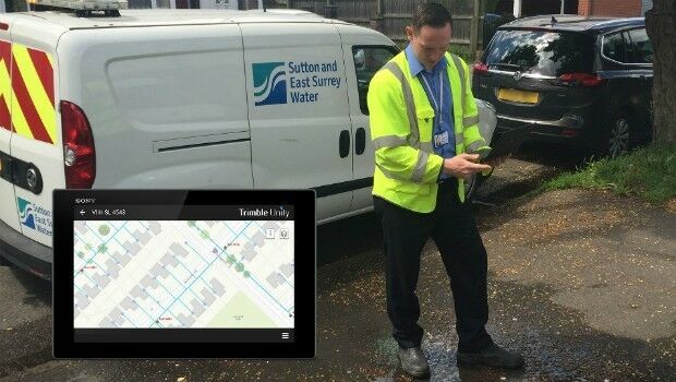
Trimble Unity Enables Sutton and East Surrey Water
2nd June 2016
Trimble Unity Enables Sutton and East Surrey Water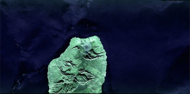
First laser transmission of image taken by the Sentinel 1A satellite
1st June 2016
First laser transmission of image taken by the Sentinel 1A satellite
Topcon announces increased integration with Autodesk scanning software
1st June 2016
Topcon announces increased integration with Autodesk scanning software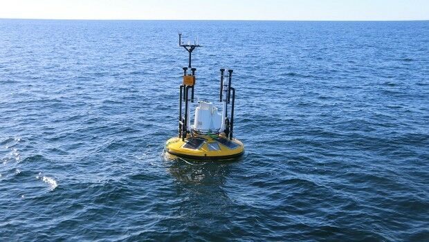
Fugro to play Key Role in Norway's Coastal Highway Improvement Programme
1st June 2016
Fugro to play Key Role in Norway's Coastal Highway Improvement Programme
PDF3D's New PowerPoint Plugin Brings Interactive 3D to Presentations
1st June 2016
PDF3D's New PowerPoint Plugin Brings Interactive 3D to Presentations
First three subcontractors selected by OneWeb Satellites
1st June 2016
First three subcontractors selected by OneWeb Satellites
Research report - Royal Mail Data Services - data-driven marketing
1st June 2016
Research report - Royal Mail Data Services - data-driven marketing
PILOT system contract between ESA and Airbus Defence and Space
1st June 2016
PILOT system contract between ESA and Airbus Defence and Space
Allies announces partnership with what3words
1st June 2016
Allies announces partnership with what3words_attribute_to_CIMBALY-V.jpg)
Globalstar’s SPOT Gen3 helps with rescues during Marathon Des Sables
1st June 2016
Globalstar’s SPOT Gen3 helps with rescues during Marathon Des Sables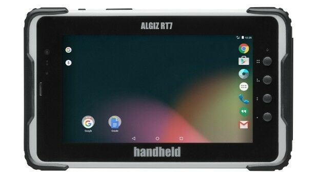
Handheld Adds eTicketing Capabilities to its ALGIZ RT7 Rugged Tablet
1st June 2016
Handheld Adds eTicketing Capabilities to its ALGIZ RT7 Rugged Tablet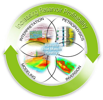
CGG GeoSoftware Integrates Geoscience Disciplines
1st June 2016
CGG GeoSoftware Integrates Geoscience Disciplines
The Colorado School of Mines and MICROMINE form Partnership
1st June 2016
The Colorado School of Mines and MICROMINE form Partnership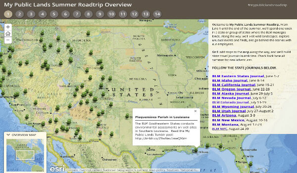
The Bureau of Land Management Uses Esri Story Maps
1st June 2016
The Bureau of Land Management Uses Esri Story Maps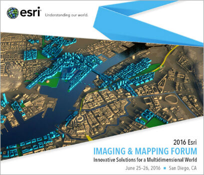
Esri to Host Imaging and Mapping Forum at Esri User Conference
1st June 2016
Esri to Host Imaging and Mapping Forum at Esri User Conference
Learn to Start Working with ArcGIS Earth from Esri
1st June 2016
Learn to Start Working with ArcGIS Earth from Esri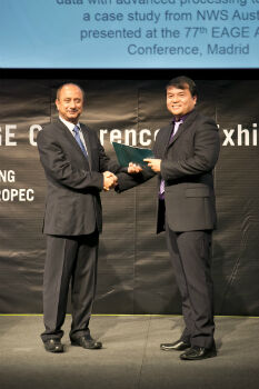
CGG Author Wins EAGE ‘2016 Guido Bonarelli Award’
31st May 2016
CGG Author Wins EAGE ‘2016 Guido Bonarelli Award’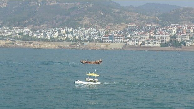
SeaRobotics Delivers Bathymetric Unmanned Surface Vehicles to China
31st May 2016
SeaRobotics Delivers Bathymetric Unmanned Surface Vehicles to China
German armed forces provided with commercial satellite communications
31st May 2016
German armed forces provided with commercial satellite communications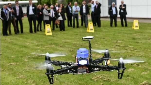
World first: Galileo PRS signal accessed via the cloud
31st May 2016
World first: Galileo PRS signal accessed via the cloud
Wolfgang Kampichler, Frequentis, joins RapidSOS 9-1-1 Advisory Board
31st May 2016
Wolfgang Kampichler, Frequentis, joins RapidSOS 9-1-1 Advisory Board
Look into the future with PTV at ITS European Congress 2016
31st May 2016
Look into the future with PTV at ITS European Congress 2016
.jpg)
Unique Mapping Solution from ScientificAerospace and DroneMetrex
31st May 2016
Unique Mapping Solution from ScientificAerospace and DroneMetrex
YellowScan LiDAR for Drone 2016: User Conference
30th May 2016
YellowScan LiDAR for Drone 2016: User Conference
Gexcel at the 3D Faro User Conference Asia Pacific 2016
30th May 2016
Gexcel at the 3D Faro User Conference Asia Pacific 2016
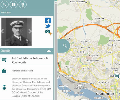
Stories on historical battle shared through innovative technology
28th May 2016
Stories on historical battle shared through innovative technology
Learn How to Use ArcGIS Pro from Esri for Dynamic Image Processing
28th May 2016
Learn How to Use ArcGIS Pro from Esri for Dynamic Image Processing
IMCA Publishes Revision To Safe & Efficient ROV Ops Guidance
27th May 2016
IMCA Publishes Revision To Safe & Efficient ROV Ops Guidance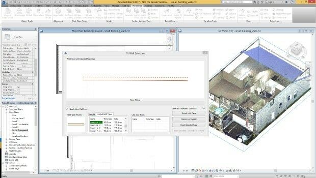
FARO® announces the release of PointSense & VirtuSurv 17.0
27th May 2016
FARO® announces the release of PointSense & VirtuSurv 17.0