
Small Vessel Tracking Trials, a Success in South Africa
21st June 2016
Small Vessel Tracking Trials, a Success in South AfricaThe compilation, reproduction and dissemination of maps and charts by means of manual (analogue) or digital techniques, tools and workflows. This topic covers the compilation, reproduction, dissemination and use of both analogue (paper) and digital maps, charts and atlases. As well as the science of cartography, including georeferencing and geocoding, digital techniques for compiling and generating various types of raster and vector maps and charts are covered, as are the digital mapping tools and Geographic Information Systems available for this purpose. The application of cartography for aeronautical, terrestrial and marine purposes is also covered
21st June 2016
Small Vessel Tracking Trials, a Success in South Africa
21st June 2016
BARTHAUER acquires pilot customer for cooperation in Serbia
21st June 2016
Take part in UAE’s specialized conference for Smart Parking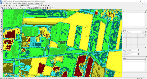
21st June 2016
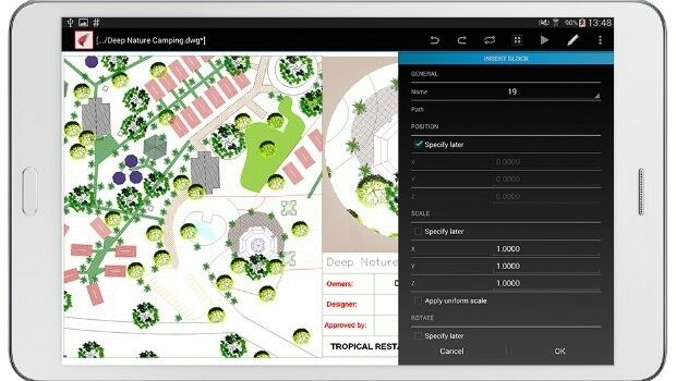
WinGIS & EC-Sentinel II Images introduced at AgriFuturedays 2016
21st June 2016
Cornerstone Mapping Processing Thermal Imagery with SimActive
20th June 2016
Sustainable Impact Through Digital Innovation
20th June 2016
Shell Selects Globalstar Satellite Asset Tracking Solution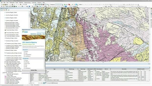
20th June 2016
CGG GeoConsulting introduces EARS BasinMap20th June 2016
MICROMINE’s Pitram allows mine operators greater control
_compr.jpg)
17th June 2016
IMCA Appoints Policy and Regulatory Affairs Manager
17th June 2016
Press conference with ESA astronaut Tim Peake after return to Earth
17th June 2016
ISG Chosen as Asda Works Towards Level 2 BIM16th June 2016
U.S. Marine Corps to Deploy Intergraph Computer-Aided Dispatch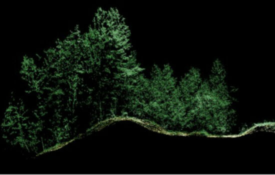
16th June 2016
Leica Geosystems expands LiDAR capabilities in ALS80 airborne sensor16th June 2016
URISA Joins the NextGen911 NOW Coalition as a Partner Organization16th June 2016
UAVAir calls businesses to take note of growing use of drones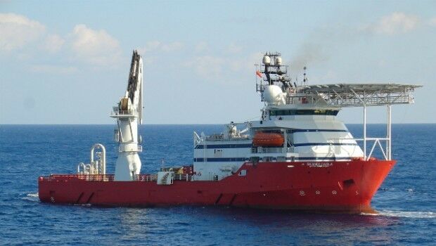
16th June 2016
Fugro Performs Integrity Management Support Under Det Norske Contract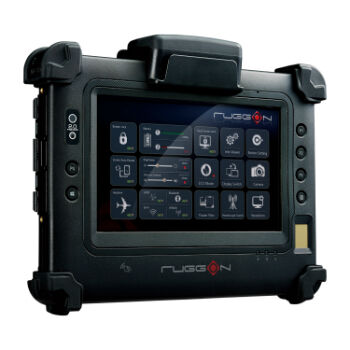
16th June 2016
RuggON's new rugged tablet puts cutting-edge tech in hands of the law
16th June 2016
Molly Schar Named First NSGIC Executive Director
16th June 2016
The Ultimate Summer Drive - Formula Cracked
16th June 2016
Age of Drones Expo is coming: first time in Hamburg, Germany15th June 2016
NSGIC Joins NG911 Now Coalition as Strategic Partner15th June 2016
Airbus D and S Recognised by Hexagon for Shaping Smart Change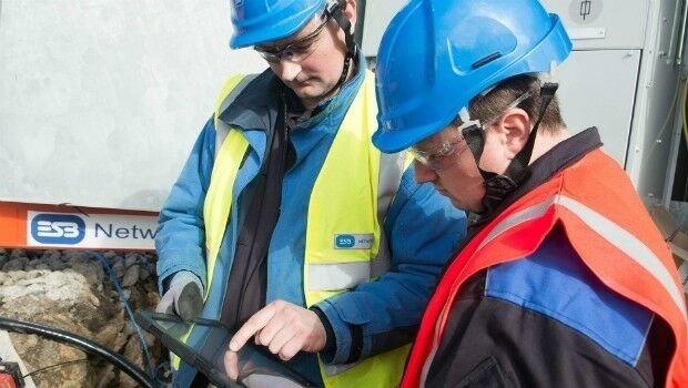
15th June 2016
Hexagon Safety & Infrastructure Presents Icon Awards
15th June 2016
New Industrial Supervision & Control Solution
15th June 2016
ARES Touch Android CAD Solution Now Available
15th June 2016
Leica Geosystems establishes georadar portfolio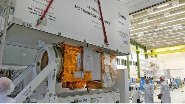
15th June 2016
Airbus Defence and Space completes second Copernicus "Eye"
15th June 2016
Ecometrica spearheads collaboration with top universities
15th June 2016
Specim announces new hyperspectral camera series for industrial needs
15th June 2016
EuroGeographics signs production management agreement with BKG Germany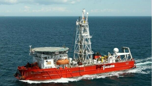
15th June 2016
Fugro Secures Geotechnical Site Investigation Contract
15th June 2016
Groupo Mexico honored for shaping smart change
15th June 2016
Global Summit on Smart, Secure and Sustainable Cities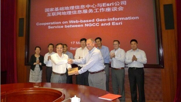
15th June 2016
Access to Authoritative Chinese Cartographic Maps and Imagery
14th June 2016
Esri and Hexagon Promote Their Joint Collaboration at HxGN LIVE
14th June 2016
LuxCarta Announces Investment for its Growth Strategy14th June 2016
exactEarth and DigitalGlobe Partner to Combat IUU Fishing14th June 2016
Acquisition of Exprodat Consulting Ltd by Getech Group plc14th June 2016
ABPmer updates weather downtime calculator