
UK Armed Forces to be provided with personal communications until 2022
7th July 2016
UK Armed Forces to be provided with personal communications until 2022The compilation, reproduction and dissemination of maps and charts by means of manual (analogue) or digital techniques, tools and workflows. This topic covers the compilation, reproduction, dissemination and use of both analogue (paper) and digital maps, charts and atlases. As well as the science of cartography, including georeferencing and geocoding, digital techniques for compiling and generating various types of raster and vector maps and charts are covered, as are the digital mapping tools and Geographic Information Systems available for this purpose. The application of cartography for aeronautical, terrestrial and marine purposes is also covered
7th July 2016
UK Armed Forces to be provided with personal communications until 2022

7th July 2016
First glimpse of potential Nullarbor treasures
7th July 2016
BARTHAUER at German Street and Traffic Convention in Bremen
6th July 2016
Topcon Announces All New GT Robotic Series Total Stations
6th July 2016
Elbit Demonstrates its Digital Eye Piece Night Display

6th July 2016
CSA Conducts Seagrass Enhancement Project in North Carolina
6th July 2016
UK councils not on track for smart city delivery, new research shows
5th July 2016
Cover More Ground in Less Time with Next-Generation Mapping Tools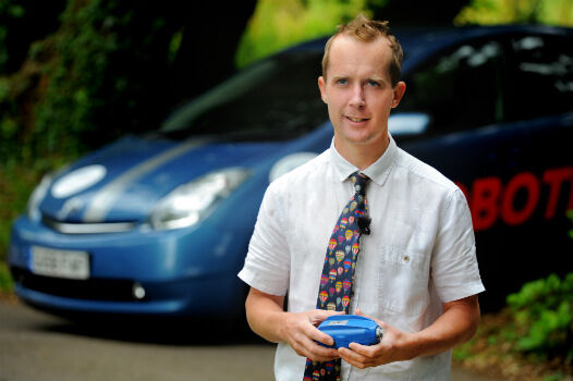
5th July 2016
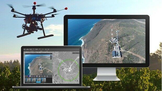
Roke Demonstrates 3D ‘Black Box’ Technology For Vehicles
5th July 2016
Leica Geosystems announces world’s first fused airborne sensor
5th July 2016
New partnership: Masternaut & Same Day Courier Network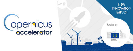
5th July 2016
European Commission Launches Copernicus Accelerator
5th July 2016
Moscow selects TomTom for a Smarter City future
5th July 2016
Join us for the Hexagon Media Roundtable at ISPRS5th July 2016
GreenRoad Announce New Partner Programme with Telecoms Suppliers in UK4th July 2016
WYG appointed on United Utilities AMP6 Geospatial Services Framework
4th July 2016
Fugro ground investigation project wins at industry awards
4th July 2016
Truckers get lifetime protection at no additional cost with TomTom
4th July 2016
New Initiative for Smart Mobility in the Karlsruhe Region1st July 2016
Bentley and Shell Announce Global Framework Agreement1st July 2016
Esri Fosters Industry Innovation with Unique Startup Program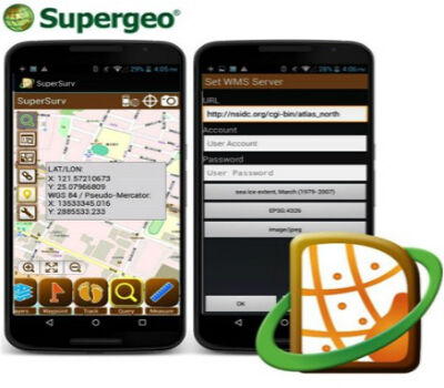
1st July 2016
SuperSurv Helps French Environment Department in Alsace1st July 2016
SuperGIS Desktop helps Public Works Department in Serang, Indonesia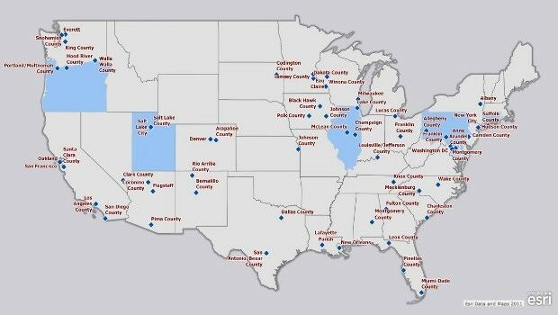
1st July 2016
Esri Pledging $500,000 to White House Data Driven Justice Initiative1st July 2016
Innovators, Scholars, and Storytellers Celebrated at the Esri Awards30th June 2016
Trimble R2 GNSS Receiver Now Available for Data Collection30th June 2016
SAP® Geographical Enablement Framework Simplifies Spatial Processing

30th June 2016
Fugro on track with Ground Penetrating Radar Surveys for SNCF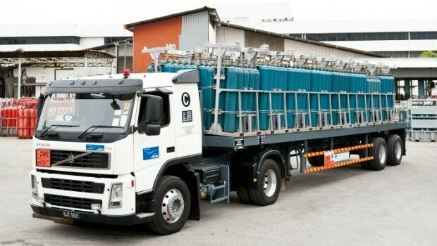
30th June 2016
Linde Malaysia adopts Paragon Routing and Scheduling Software30th June 2016
New dataset of accessible greenspace for Scotland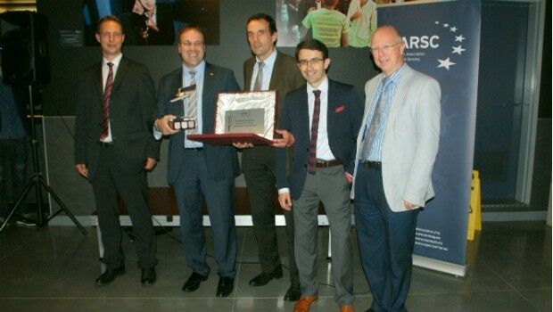

30th June 2016
Fugro deploys more Resource for World’s Largest Seep-Hunting Survey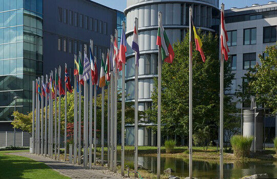
30th June 2016
EUMETSAT approves new Strategy of Meteosat-8 over the Indian Ocean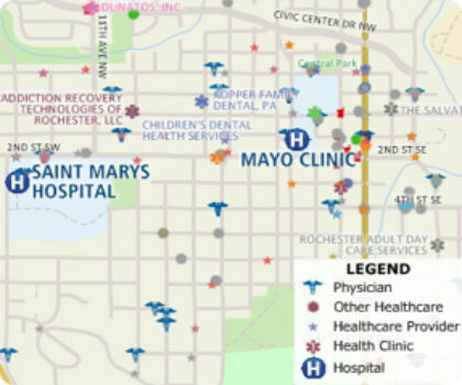
30th June 2016
Free Healthcare Data for Use with Maptitude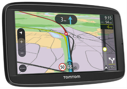
29th June 2016
New TomTom VIA: Satnav Reliability with Real-Time Smarts of a Phone
29th June 2016
Airwave strikes gold with two RoSPA health and safety awards29th June 2016
Esri Launches National Green Infrastructure Initiative for Planning
29th June 2016
what3words partners with global logistics giant Aramex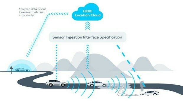
29th June 2016
HERE, automotive companies move forward on car-to-cloud data standard