Cartography
The compilation, reproduction and dissemination of maps and charts by means of manual (analogue) or digital techniques, tools and workflows. This topic covers the compilation, reproduction, dissemination and use of both analogue (paper) and digital maps, charts and atlases. As well as the science of cartography, including georeferencing and geocoding, digital techniques for compiling and generating various types of raster and vector maps and charts are covered, as are the digital mapping tools and Geographic Information Systems available for this purpose. The application of cartography for aeronautical, terrestrial and marine purposes is also covered

Abu Dhabi to host industry giants at NATRANS Expo
6th August 2016
Abu Dhabi to host industry giants at NATRANS Expo
Point Greys New Spinnaker SDK Leverages GenICam3
6th August 2016
Point Greys New Spinnaker SDK Leverages GenICam3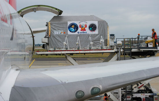
PerúSAT-1 satellite is now on its way to Kourou launch site
6th August 2016
PerúSAT-1 satellite is now on its way to Kourou launch site
New Blackfly S - the Latest Imaging Technology in Compact Housing
6th August 2016
New Blackfly S - the Latest Imaging Technology in Compact Housing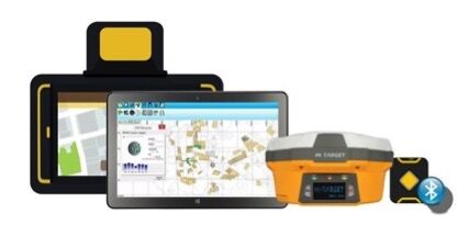
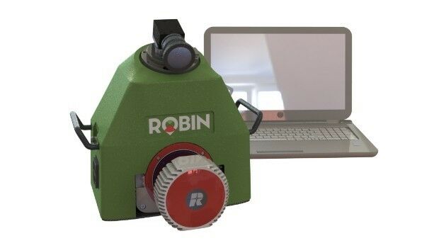
Collect Field Data with High Accuracy - Supergeo X Hi-Target
6th August 2016
Collect Field Data with High Accuracy - Supergeo X Hi-Target
6th International Conference on Cartography and GIS
5th August 2016
6th International Conference on Cartography and GIS
160 Commercial Drone Companies Showcase UAV Technology at InterDrone
5th August 2016
160 Commercial Drone Companies Showcase UAV Technology at InterDrone
Cityworks Announces the Release of Cityworks 15.1
5th August 2016
Cityworks Announces the Release of Cityworks 15.1
what3words Addresses Rio’s Summer of Sport
5th August 2016
what3words Addresses Rio’s Summer of Sport
OGC requests participation in its Citizen Science DWG
5th August 2016
OGC requests participation in its Citizen Science DWG
Eternix Ltd. announces the release of Blaze Terra 5.0
5th August 2016
Eternix Ltd. announces the release of Blaze Terra 5.0
OGC requests participation in its Marine DWG
4th August 2016
OGC requests participation in its Marine DWG
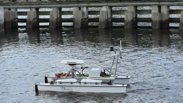
SeaRobotics Delivers Unmanned Surface Vehicle
4th August 2016
SeaRobotics Delivers Unmanned Surface Vehicle
Orbit GT and Soluciones Geoinformaticas, sign Reseller Agreement
2nd August 2016
Orbit GT and Soluciones Geoinformaticas, sign Reseller Agreement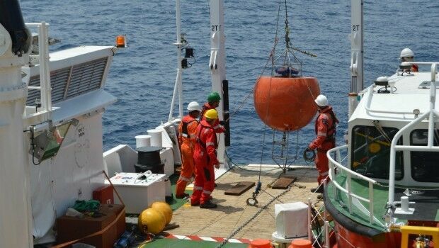
Fugro Completes Ghana Metocean Data Acquisition For Hess Corporation
2nd August 2016
Fugro Completes Ghana Metocean Data Acquisition For Hess Corporation
New senseFly financing and insurance packages for Drone operators
2nd August 2016
New senseFly financing and insurance packages for Drone operators
HERE appoints Kelley Steven-Waiss as Chief Human Resources Officer
2nd August 2016
HERE appoints Kelley Steven-Waiss as Chief Human Resources Officer

The integrated management of municipal infrastructure
2nd August 2016
The integrated management of municipal infrastructure
AirGon LLC Revolutionizes Drone Data Extraction
2nd August 2016
AirGon LLC Revolutionizes Drone Data Extraction
Geneq's announcement of iSXBlue receivers compatibility
2nd August 2016
Geneq's announcement of iSXBlue receivers compatibility
Esri and Leica Partner to Offer Grants to Governments
2nd August 2016
Esri and Leica Partner to Offer Grants to Governments
Pix4D Elevates Agriculture Software to Desktop & Cloud Solution
2nd August 2016
Pix4D Elevates Agriculture Software to Desktop & Cloud Solution
The Truth About Drones in Mapping and Surveying
1st August 2016
The Truth About Drones in Mapping and Surveying
Key Developments to Luciad's Geospatial Software Solutions
29th July 2016
Key Developments to Luciad's Geospatial Software Solutions
Fugro Partners With Electricity Transmission System Operator Elia
29th July 2016
Fugro Partners With Electricity Transmission System Operator Elia
ContextCapture Improves Quality of Reality Modeling
29th July 2016
ContextCapture Improves Quality of Reality Modeling
Trent Stromberg joins Avenza Systems as Business Development Manager
29th July 2016
Trent Stromberg joins Avenza Systems as Business Development Manager
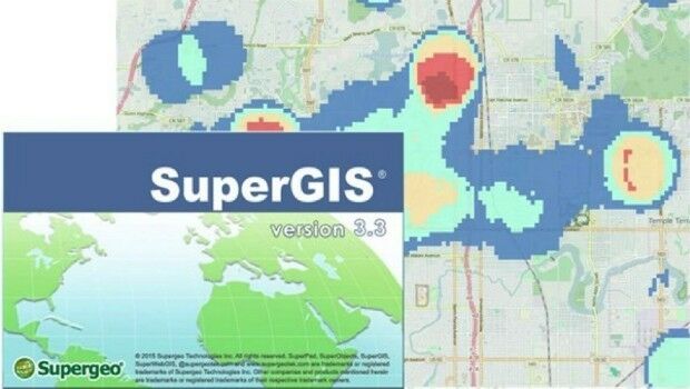
Local Government in Capoterra Selects SuperGIS Desktop
28th July 2016
Local Government in Capoterra Selects SuperGIS Desktop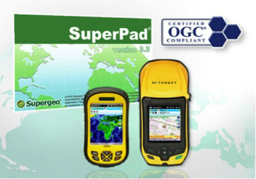
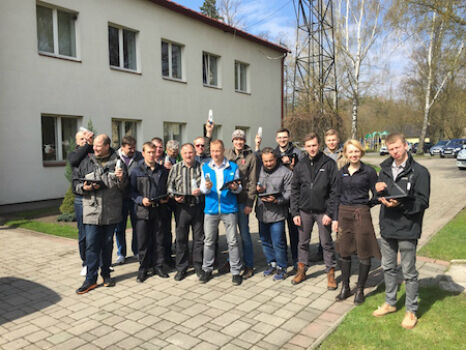
SuperPad Assists the French Geotechnical Surveying Firm, Fondasol
28th July 2016
SuperPad Assists the French Geotechnical Surveying Firm, Fondasol
Pokévision and Esri Speed Pokémon Go Hunting
28th July 2016
Pokévision and Esri Speed Pokémon Go Hunting
GAF establishes Geo-Data Information Management System for Sierra Leone
28th July 2016
GAF establishes Geo-Data Information Management System for Sierra Leone
Introducing HERE WeGo, the ultimate urban mobility companion
28th July 2016
Introducing HERE WeGo, the ultimate urban mobility companion
Lehmann Aviation redefines mapping drones with brand-new L-A Series
27th July 2016
Lehmann Aviation redefines mapping drones with brand-new L-A Series
Future of drone use within business set to change
27th July 2016
Future of drone use within business set to change_(1).jpg)
Airbus Defence and Space Launches “One Tasking”
27th July 2016
Airbus Defence and Space Launches “One Tasking”
Esri Selected to Host Services for Michigan State-Wide Imagery Data
27th July 2016
Esri Selected to Host Services for Michigan State-Wide Imagery Data
Sokkia receivers to be used for Latvian forest management
27th July 2016
Sokkia receivers to be used for Latvian forest management
Fugro Begins Seabed Investigation At Wylfa Newydd Nuclear Power Site
27th July 2016
Fugro Begins Seabed Investigation At Wylfa Newydd Nuclear Power Site
Caribbean GIS Community to Gather in Barbados
26th July 2016
Caribbean GIS Community to Gather in Barbados