Share
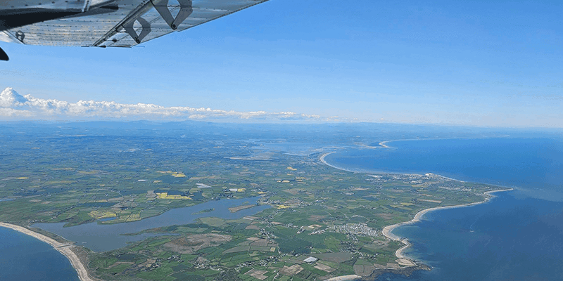
Aerial mapping company Bluesky International has made a record-breaking start to its 2023 flying season having captured more than 96 percent of its UK flying target in the first half of the season. Taking advantage of recent clear blue skies, Bluesky has already flown circa 100,000 square kilometers across areas of England, Scotland, Wales and the Republic of Ireland, capturing high-resolution aerial photography along with Colour Infrared imagery. The captured aerial data is then processed by an in-house team to produce geographically accurate 12.5-centimeter resolution aerial photomaps plus photogrammetrically derived 3D height models which are used by government organizations and a host of other businesses working in sectors like insurance, utilities, environment and climate change, academia, civil engineering and planning. www.bluesky-world.com


