Bluesky 5cm Aerial Photography Reveals Hidden Parts of London
20th May 2021
Bluesky 5cm Aerial Photography Reveals Hidden Parts of London20th May 2021
Bluesky 5cm Aerial Photography Reveals Hidden Parts of London5th May 2021
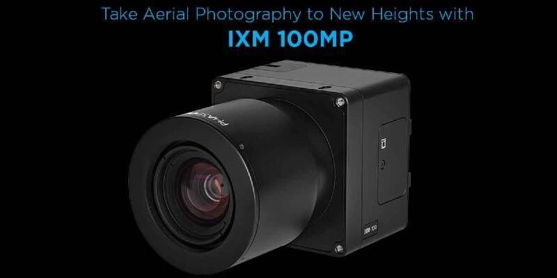
Introducing: P3 Payload - Unmatched inspection productivity and versatility
15th April 2021
HxGN Content Program to collect new single-season aerial data of 14 U.S. states this year12th February 2021
Bluesky 3D Building Models Drive Efficiency and Collaboration in Water Construction24th January 2021
SimActive Software Used with AI to Determine Land Use29th October 2020
European Association of Aerial Surveying Industries Gather Virtually for First AGM29th October 2020
European Association of Aerial Surveying Industries Appoints Secretary-General29th October 2020
UP42 Partners with Hexagon To Offer HxGN Content Program Aerial Imagery on Geospatial Marketplace17th September 2020
Bluesky Expands Global Business with Travis Mayne and Emma Smith Appointments8th September 2020
European Association of Aerial Surveying Industries Appoints Secretary-General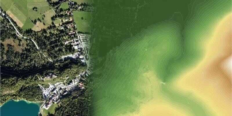
27th August 2020
Elevate your performance with UltraMap 5.0
18th August 2020
Bluesky 3D Photomaps Help Elevate an Irish Hill for the First Time in 20 Years12th August 2020
Bluesky Aerial Images Highlight Nature’s Role in Tackling Climate Change28th July 2020
Bluesky Expands Global Business with Travis Mayne Appointment
27th July 2020
How to Generate a DSM and Point Cloud with Correlator3D
27th July 2020
SimActive announces “How to Manage Photogrammetric Production During Peak Season” webinar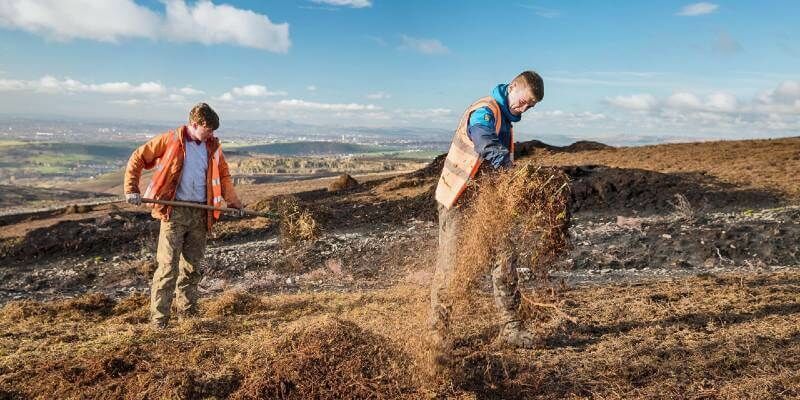
10th July 2020
Bluesky Maps the Peak District National Park in Ultra-High Resolution from the Air
3rd July 2020
Bluesky Upgrades its Great Britain Flying Programme to Highest Ever Resolution2nd July 2020
Bluesky Takes to the Clear Skies in a Flying Start to 2020 Aerial Surveying25th June 2020
Bluesky Completes Aerial Photography Coverage of Ireland
24th June 2020
HxGN Content Program updates 3 million square kilometres of aerial data in U.S., Europe in 2020
22nd June 2020
GeoCue Group Releases True View® 615/620; RIEGL/Applanix-based UAS LIDAR System17th June 2020
Cityscape and Bluesky 3D Models Bring Virtual Reality to Property Developers10th June 2020
Bluesky Takes to the Clear Skies in a Flying Start to 2020 Aerial Surveying
4th June 2020
CHNT 25, 2020 - Artificial Intelligence, New pathways towards cultural heritage3rd June 2020
Teledyne Lumenera’s new Lt Series USB3 Cameras engineered for modern vision systems
1st June 2020
Diamond Aircraft Appoints New Service Center in Texas22nd May 2020
Bluesky Supports Remote Workers with Latest Aerial Photography Online
13th May 2020
Simactive - How to Perform Aerial Triangulation with Correlator3D
5th May 2020
Introducing the Phase One 280MP Aerial Solution
24th April 2020
RIEGL’s Combining Terrestrial and UAV-borne Scan Data in an Archeology Application