Bluesky Aerial Mapping Features in Orbx Flight Simulator
1st November 2018
Bluesky Aerial Mapping Features in Orbx Flight SimulatorAerial imaging is revolutionizing the way we capture, analyze, and utilize geospatial data. Using high-resolution aerial photography and remote sensing technologies, it provides accurate and detailed visual information essential for mapping, environmental monitoring, infrastructure planning, and disaster response.
Modern aerial imaging solutions include manned aircraft, UAVs (drones), and satellite-based systems equipped with advanced sensors such as LiDAR, multispectral, and hyperspectral cameras. These technologies enable high-precision mapping, 3D terrain modeling, change detection, and real-time geospatial analysis, supporting industries such as urban planning, agriculture, forestry, defense, and construction.
With cloud-based processing, AI-powered image analysis, and real-time data streaming, aerial imaging continues to advance, offering faster, more accurate, and scalable solutions for GIS professionals and decision-makers.
GeoConnexion provides the latest insights on aerial imaging trends, innovations, and applications, helping professionals leverage aerial data for better spatial intelligence and operational efficiency.
1st November 2018
Bluesky Aerial Mapping Features in Orbx Flight Simulator
30th October 2018
Saber Online Surveys Aid Forward Planning for West Sussex Highways
29th October 2018
SAFIR consortium chosen to carry out U-space drone demonstrations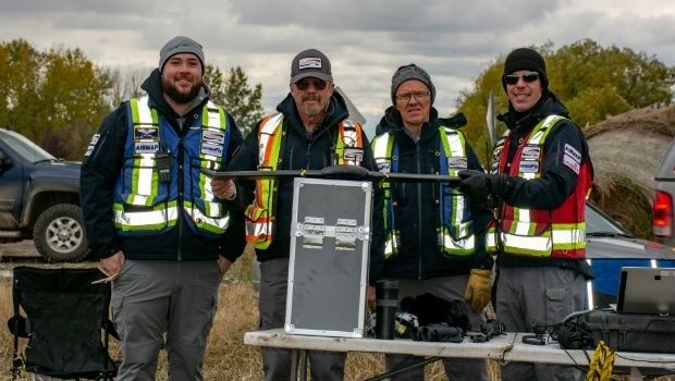
25th October 2018
Airbus launches Ocean Finder to improve safety of assets at sea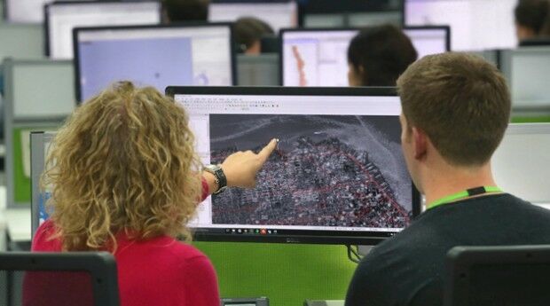
25th October 2018
thinkWhere’s theMapCloud Powers New Online Data Services
24th October 2018
Lockheed Martin Purchase An Aeromapper Talon sUAS
24th October 2018
Remember Remember QGIS 3 Training in November24th October 2018
SSTL’s international exports recognised with a UK Board of Trade Award24th October 2018
GeoSpock Wins Liverpool Mayor’s ‘Smart Cities Realised’
23rd October 2018
Bentley Systems Announces Winners of Year in Infrastructure 2018 Awards
22nd October 2018
ARUP Hosted BIM Event Success for 3D Repo19th October 2018
Government of Canada to Invest $7.2 Million in exactEarth
18th October 2018
Geospatial Media and Communications announces GEO|Design+BIM Awards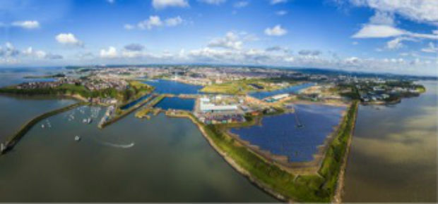
17th October 2018
OceanWise supplies new Tide and Weather Systems to all ABP South Wales Ports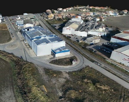
17th October 2018
Trimble Inpho Software Suite Extends Photogrammetric Deliverables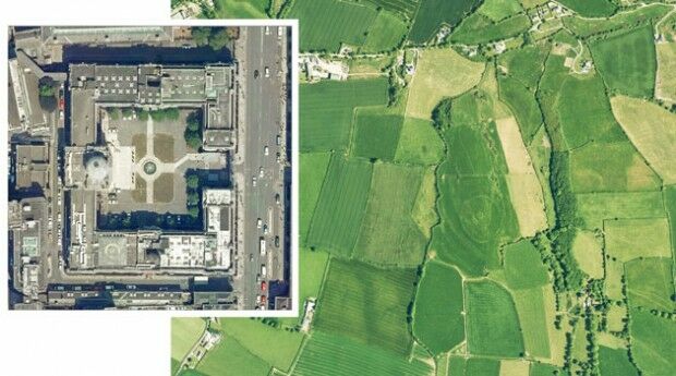
17th October 2018
Irish Government Award Bluesky as Geographic Data Supplier
12th October 2018
Topcon announces speaking presentations for Year in Infrastructure 2018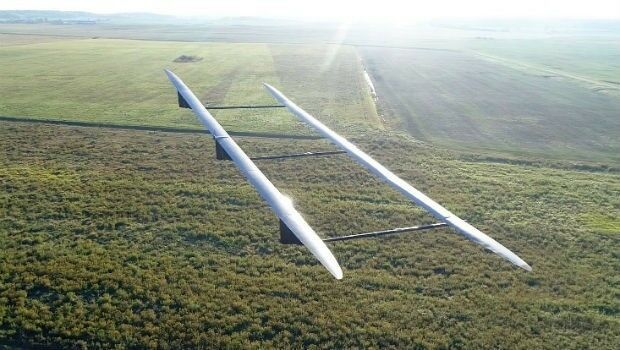
12th October 2018
UAVOS ApusDuo Aircraft Completed Flight Tests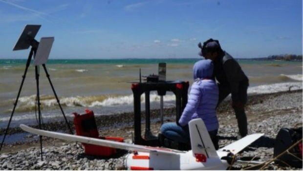
12th October 2018
Aeromao Inc. announces the Aeromapper Talon Amphibious
11th October 2018
Premiere of the EUROPEAN DRONE SUMMIT on 15 October in Frankfurt a.M.11th October 2018
iSTAR Pulsar collaborations on show at INTERGEO 201810th October 2018
Hexagon Digitalizes and Democratizes the Census Process
9th October 2018
CORSICA: Satellite Images Highlight Major Oil Spill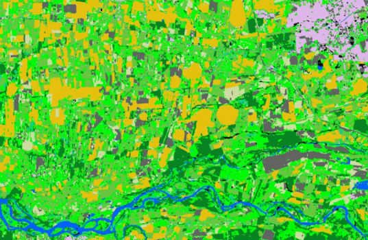
9th October 2018
Spottitt Launches Cloud-Based Geospatial Data Analysis
9th October 2018
INTERGEO CONFERENCE Keynote Speech on Thursday9th October 2018
Platform161 enhances advertising platform with NetAcuity Pulse
8th October 2018
Highways Surveyors map out a new direction with Saber
5th October 2018
Unifly and Terra Drone co-develop UTM system with Hitachi
5th October 2018
Hybrid multipair custom cable to enhance geophysical borehole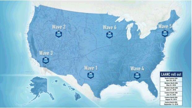
2nd October 2018
Unifly certified by FAA to offer LAANC service
2nd October 2018
Rezatec provides AHDB with innovative geospatial data analytics2nd October 2018
PCI Geomatics Releases Geomatica and GXL 2018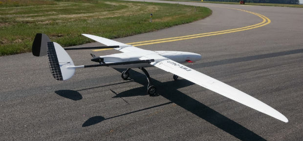
1st October 2018
UAVOS Fixed-Wing UAV Sitaria Completed Flight Tests
28th September 2018
How Drones Can Optimize Surveying and Mapping Projects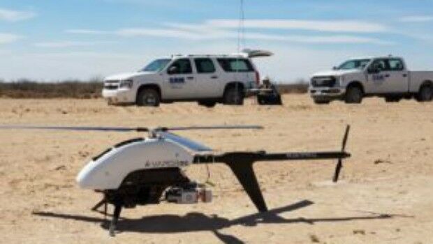
26th September 2018
SAM, LLC: Using Technology To Enhance Solutions
26th September 2018
BARSC Welcomes SSTL as a New Corporate Member26th September 2018
RIEGL to Exhibit and Present at Commercial UAV Expo 2018!26th September 2018
Bluesky Captures Hull in Ultra High Resolution25th September 2018
Dowe Gallagher Adds Textron Cessna Caravan EX To Lidar Offerings20th September 2018
PCI Geomatics Completes Historical Airphoto Mapping Project20th September 2018
3D Repo Debuts Online Health and Safety Platform
18th September 2018
Bluesky & Getmapping Win UK Government Contract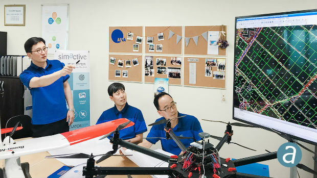
18th September 2018
First South Korea Government Drone Project Completed with SimActive13th September 2018
Delair Receives Funding From Intel Capital
11th September 2018
Introducing the upgraded MTi 1-series modules.