
EarthSense Maps Show Homeowners Air Pollution Levels
1st May 2018
EarthSense Maps Show Homeowners Air Pollution LevelsAerial imaging is revolutionizing the way we capture, analyze, and utilize geospatial data. Using high-resolution aerial photography and remote sensing technologies, it provides accurate and detailed visual information essential for mapping, environmental monitoring, infrastructure planning, and disaster response.
Modern aerial imaging solutions include manned aircraft, UAVs (drones), and satellite-based systems equipped with advanced sensors such as LiDAR, multispectral, and hyperspectral cameras. These technologies enable high-precision mapping, 3D terrain modeling, change detection, and real-time geospatial analysis, supporting industries such as urban planning, agriculture, forestry, defense, and construction.
With cloud-based processing, AI-powered image analysis, and real-time data streaming, aerial imaging continues to advance, offering faster, more accurate, and scalable solutions for GIS professionals and decision-makers.
GeoConnexion provides the latest insights on aerial imaging trends, innovations, and applications, helping professionals leverage aerial data for better spatial intelligence and operational efficiency.
1st May 2018
EarthSense Maps Show Homeowners Air Pollution Levels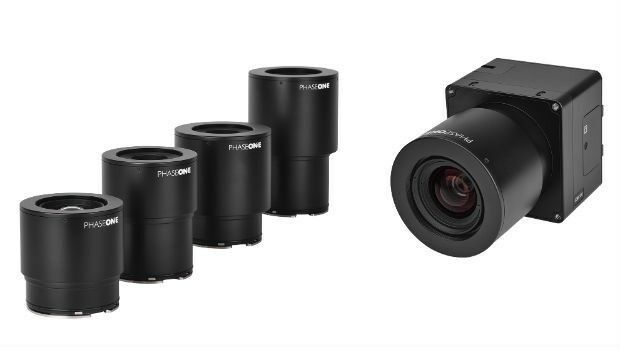
30th April 2018
Phase One Industrial Innovates UAV-based Aerial Imagery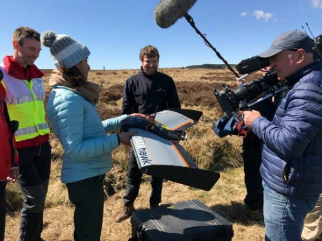
27th April 2018
QuestUAV showcasing on BBC One’s Countryfile26th April 2018
Fugro’s Award-Winning Expertise at OTC 2018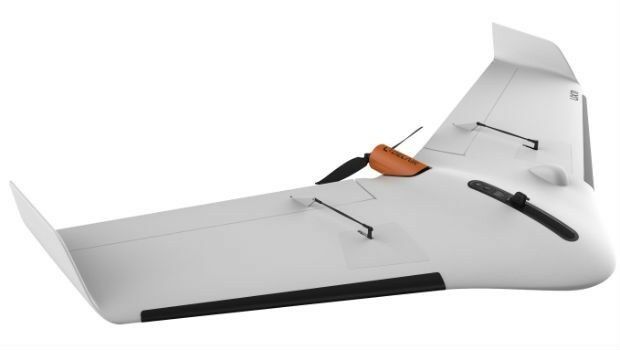
26th April 2018
Delair Announces Availability of UAV for Geospatial Professionals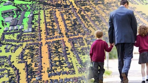
26th April 2018
EarthSense adds ultra-fine particulates to MappAir air pollution map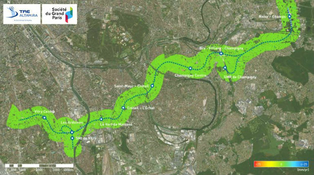
26th April 2018
Grand Paris Express: first results of satellite monitoring26th April 2018
Captains of industry accept position in Unifly advisory board
26th April 2018
Bluesky LiDAR Supports Major Irish Water Supply Project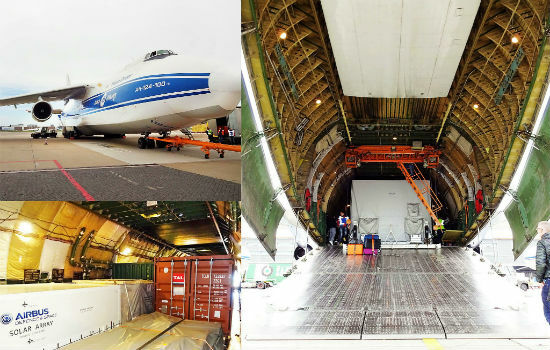

23rd April 2018
East View Geospatial Now Offering PlanetSAT 10-meter Global Mosaic
20th April 2018
The UAV sector is becoming more professional
18th April 2018
Restore's Driver Behaviour Improvements With Ctrack Vehicle Tracking17th April 2018
Second Annual Commercial UAV Expo Europe a Huge Success12th April 2018
senseFly announces the appointment of new CEO, Gilles Labossière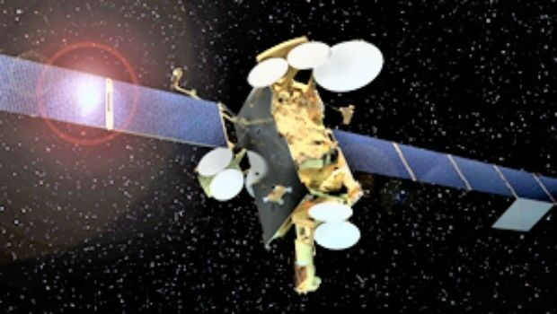
12th April 2018
Airbus has shipped SES-12 highly innovative satellite to launch base.11th April 2018
SphereVision Project Provides Complete 360 Imaging Platform10th April 2018
A new generation of high precision multispectral sensor5th April 2018
1Spatial awarded contract by the European Union Satellite Centre
3rd April 2018
senseFly and Trimble optimize workflow for geospatial drone operators3rd April 2018
East View Geospatial Launches On-Demand Milspec Geospatial Data
30th March 2018
Copernicus Data Warehouse Offers 40 cm Imagery

29th March 2018
Pix4D announces Pix4Dfields, dedicated product for agriculture28th March 2018
9th IGRSM International Conference and Exhibition28th March 2018
9th IGRSM International Conference and Exhibition
27th March 2018
New 3D Repo version adds BCF support and GIS integration26th March 2018
GRSG Chairman is Coming Up Trumps for the Geological Society23rd March 2018
Phase One Industrial and Aerialtronics Sign Partnership Agreement22nd March 2018
World’s First Wide-Area Security with Multiple Autonomous Flying Drones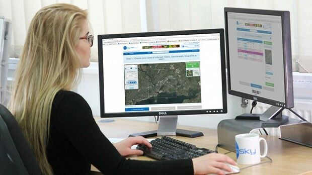
22nd March 2018
Bluesky Ireland Release New Online Geographic Data
19th March 2018
SCTX 2018: technology for greater security
15th March 2018
Bluesky National Tree Map Helps Tamworth Council Bloom
13th March 2018
4 weeks until Commercial UAV Expo Europe, 3 days to save.12th March 2018
Jean-François Delepau named as new chairman of the Sofradir Group9th March 2018
GeoPlace annual conference to take place on 10th May 20188th March 2018
Irish City of the Future Uses Bluesky Aerial Photomaps to Inform Development Plans
6th March 2018
NavAidDrone: new drone-based measurement system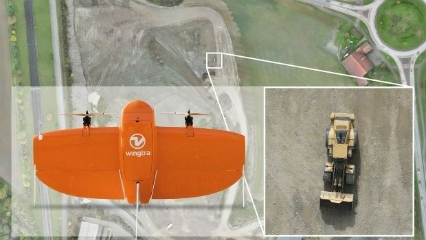
28th February 2018
Wingtra selects Septentrio GNSS board for new drone
20th February 2018
Earth-i receives £2.7 million from UK Government to improve crop yield14th February 2018
Microsoft and Ordnance Survey join forces13th February 2018
National Gendarmerie Conducts Post-Hurricane Missions with SimActive13th February 2018
AirGon LLC Appointed North American Distributor for YellowScan12th February 2018
Bluesky Innovation Uses Mobile Phones to Create 3D Maps