
GeoPlace recognises ‘Britain’s Most Fantastic Address’
28th January 2019
GeoPlace recognises ‘Britain’s Most Fantastic Address’Aerial imaging is revolutionizing the way we capture, analyze, and utilize geospatial data. Using high-resolution aerial photography and remote sensing technologies, it provides accurate and detailed visual information essential for mapping, environmental monitoring, infrastructure planning, and disaster response.
Modern aerial imaging solutions include manned aircraft, UAVs (drones), and satellite-based systems equipped with advanced sensors such as LiDAR, multispectral, and hyperspectral cameras. These technologies enable high-precision mapping, 3D terrain modeling, change detection, and real-time geospatial analysis, supporting industries such as urban planning, agriculture, forestry, defense, and construction.
With cloud-based processing, AI-powered image analysis, and real-time data streaming, aerial imaging continues to advance, offering faster, more accurate, and scalable solutions for GIS professionals and decision-makers.
GeoConnexion provides the latest insights on aerial imaging trends, innovations, and applications, helping professionals leverage aerial data for better spatial intelligence and operational efficiency.
28th January 2019
GeoPlace recognises ‘Britain’s Most Fantastic Address’
23rd January 2019
Virtual Surveyor 6.2 Now Processes Larger Drone Survey Projects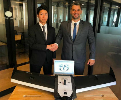
17th January 2019
Terra Drone Japan and Plimsoll UAV in Brazil sign a joint venture agreement17th January 2019
Routescene and Caddis Aerial launch UAV LiDAR surveys16th January 2019
Delair announces interoperability of high-precision PPK drone data
14th January 2019
New member appointed to the GeoPlace Board
14th January 2019
Staying a Step Ahead of Increasingly-Sophisticated Cyber Threats
10th January 2019
Cyient Positioned as an “Established and Expansive” Player10th January 2019
CMAI India and BroadGroup forge strategic partnership agreement
9th January 2019
Geospatial Information Technologies at the AAG Annual Meeting
9th January 2019
Bristol Water renews annual subscription with Rezatec27th December 2018
PCI Geomatics Announces Remote Sensing Young Scholars Program
19th December 2018
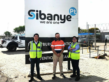
Terra Drone South Africa succeeded the underground mining demonstration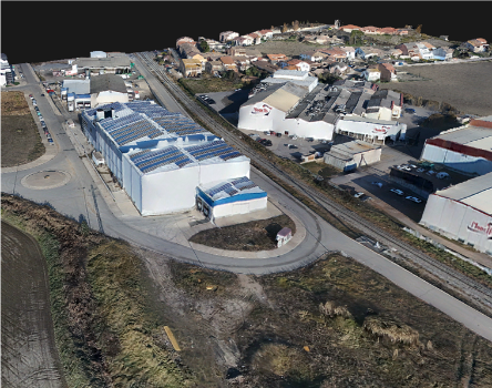
14th December 2018
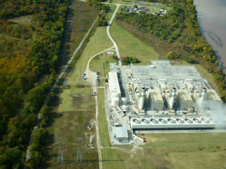
AEP’s Extra High Voltage Electricity Transmission Assets In Oklahoma, USA
13th December 2018
Autotalks Validates C-V2X Chipsets Using Rohde & Schwarz Equipment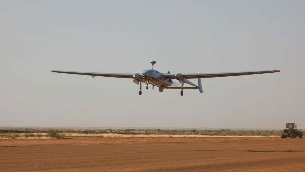
12th December 2018
Germany extends the contracts for the operation of the Heron 1
10th December 2018
GeoPlace working with the Department of Transport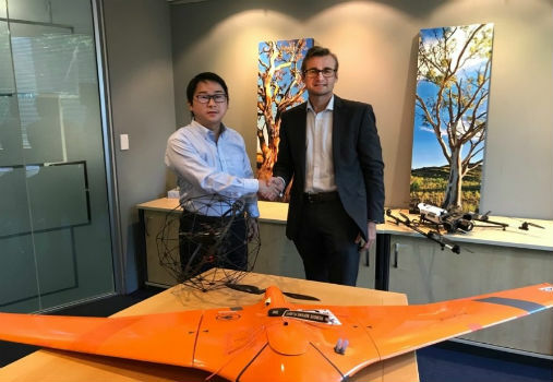
10th December 2018
Terra Drone Corporation buys major stake in C4D Intel Pty Ltd.6th December 2018
Esri named a leader in location intelligence in Forrester Wave
6th December 2018
senseFly widens commercial strategy and announces new leadership6th December 2018
Pix4DMapper + Aeromapper Talon fixed wing BVLOS system5th December 2018
Meet Key players of the Unmanned Systems Industry at TUS Expo Europe 20195th December 2018
RIEGL will be exhibiting and presenting at IAFSM 2018!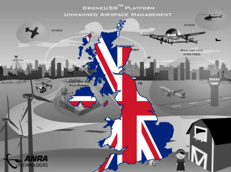
4th December 2018
ANRA Technologies UAS Traffic Management (UTM) Soars Into The UK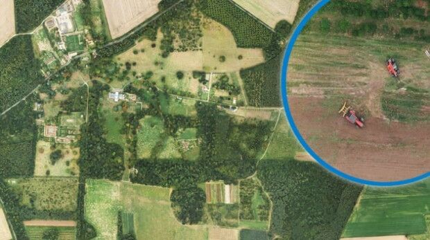
4th December 2018
Bluesky Aerial Images Help Reveal Secrets of Farm Management2nd December 2018
The 4th Unmanned Systems (TUS) Expo Europe 2019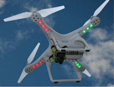
27th November 2018
SimActive Software Used for Large-Scale Photogrammetry Project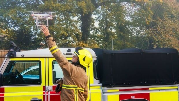
26th November 2018
FREQUENTIS paves the way for efficient use of drones in public safety
26th November 2018
Getmapping appoints Geosolutions Consultant
24th November 2018
SSTL releases first images from NovaSAR-1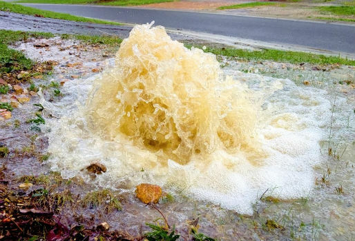
23rd November 2018
Rezatec to provide new water leak risk analysis tool
23rd November 2018
Airbus and John Deere receive silver medal of SIMA innovation award23rd November 2018
Pix4D Dresses Up In Retro For Cyber Monday22nd November 2018
New GPS tracking system allows companies to manage assets
21st November 2018
Full Motion Video (FMV) Support to LineVision Desktop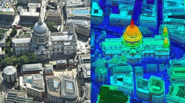
21st November 2018
Bluesky first to use Leica CityMapper to capture UK cities in 3D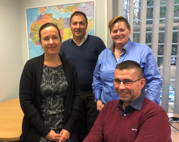
20th November 2018
Getmapping Announces New European Management Team Structure
20th November 2018
Harrow Council Completes Highway Asset Surveys with Saber
19th November 2018
SimActive Releases Version 8.0 with 3D Modeling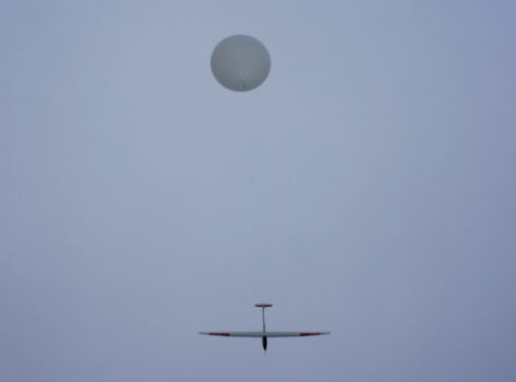
16th November 2018
UAVOS And Stratodynamics Aviation Started Test Flights
10th November 2018
The National Atlas of the Arctic — Limited Copies Now Available
7th November 2018
RIEGL is Expanding their Airborne and UAV Sensor Product Range!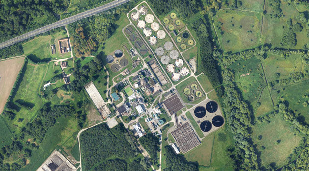
7th November 2018
Bluesky 3D Models Help Anglian Water Improve Infrastructure