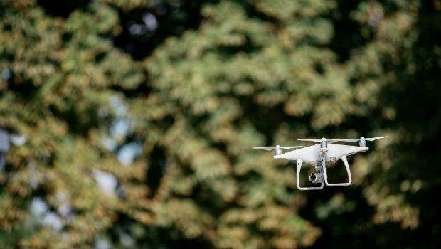
ODS launches commercial drone services in Oxford
10th September 2018
ODS launches commercial drone services in OxfordAerial imaging is revolutionizing the way we capture, analyze, and utilize geospatial data. Using high-resolution aerial photography and remote sensing technologies, it provides accurate and detailed visual information essential for mapping, environmental monitoring, infrastructure planning, and disaster response.
Modern aerial imaging solutions include manned aircraft, UAVs (drones), and satellite-based systems equipped with advanced sensors such as LiDAR, multispectral, and hyperspectral cameras. These technologies enable high-precision mapping, 3D terrain modeling, change detection, and real-time geospatial analysis, supporting industries such as urban planning, agriculture, forestry, defense, and construction.
With cloud-based processing, AI-powered image analysis, and real-time data streaming, aerial imaging continues to advance, offering faster, more accurate, and scalable solutions for GIS professionals and decision-makers.
GeoConnexion provides the latest insights on aerial imaging trends, innovations, and applications, helping professionals leverage aerial data for better spatial intelligence and operational efficiency.
10th September 2018
ODS launches commercial drone services in Oxford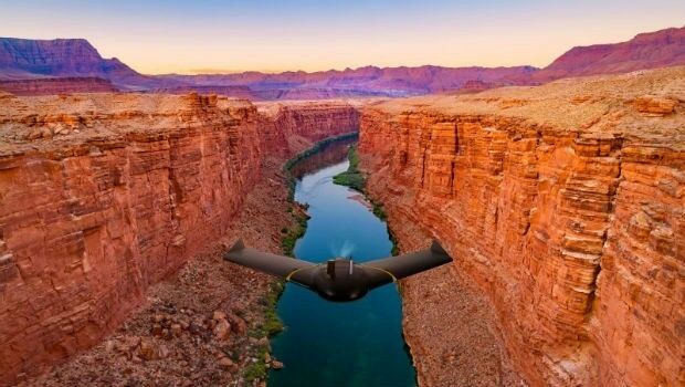
6th September 2018
senseFly launches the eBee X fixed-wing drone
29th August 2018
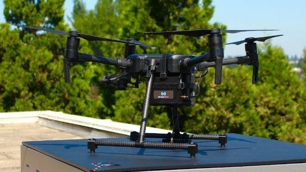
WiBotic Announces a Wireless Power System for DJI Matrice 200 Series Drones29th August 2018
Answers to the questions on the new general aviation regulation29th August 2018
ClassNK adds to RIMS portfolio of class approvals
28th August 2018
SimActive for Mining: Drones & Volume Calculation28th August 2018
Commercial UAV Expo Is Hosting “Beyond The Cage” Demonstrations28th August 2018
NUAIR Alliance Announces Partnership with Unifly28th August 2018
PCI Geomatics signs Strategic Education Alliance Agreement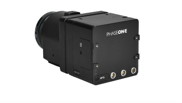
28th August 2018
Phase One Industrial Launches 150MP Metric Camera24th August 2018
The future of taxi drones at the FAI International Drone Conference and Expo
16th August 2018
GENOA, ITALY: Satellite Images of Morandi Bridge Collapse
16th August 2018
Drone Major Group invests in SUAS Global expansion
15th August 2018
Martek Announce New Head of Counter-Drone Technology M.A.DS15th August 2018
UrtheCast Announce Term Sheet for Purchase of Geosys
14th August 2018
Garmin® expands cost-effective navigation databases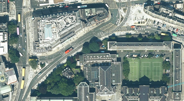
13th August 2018
Bluesky Captures Ultra High Resolution Aerial Images of Dublin13th August 2018
Goonhilly and Spacebit to accelerate commercial space exploration9th August 2018
Airbus-built Aeolus satellite ready to take on the wind9th August 2018
Blue Marble Announces Distinguished Speakers for User Conference8th August 2018
Airbus Zephyr Solar High Altitude Pseudo-Satellite flies for longer
7th August 2018
1Spatial adds Linear Reference System (LRS) support to 1Integrate4th August 2018
Linkfast to Provide Applanix Products and Solutions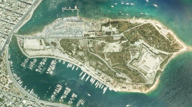
1st August 2018
Bluesky Helps Malta Develop GeoSpatial Infrastructure
26th July 2018
South Downs National Park Plans GIS Future with thinkWhere26th July 2018
ip.access collaborates with Blue Arcus Technologies Inc.
23rd July 2018
Terra Drone Corporation Developed New of Unmanned Aircraft System
19th July 2018
Narrow Aisle Extends Telematics Contract With Ctrack17th July 2018
Flann working with NASA on space mission to map Earth’s water
13th July 2018
Deimos Awarded Multi-Million Euro ESA Contract13th July 2018
European Union with seamless satellite-based coverage of Europe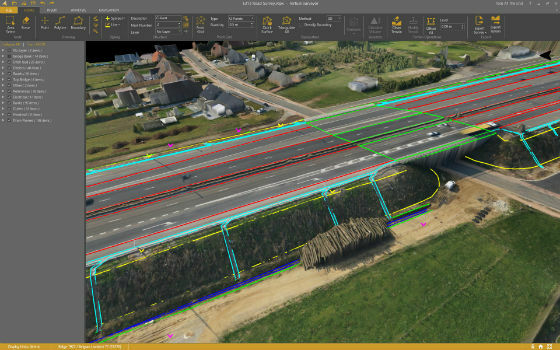
11th July 2018
Virtual Surveyor Streamlines Workflow, Enhances User Experience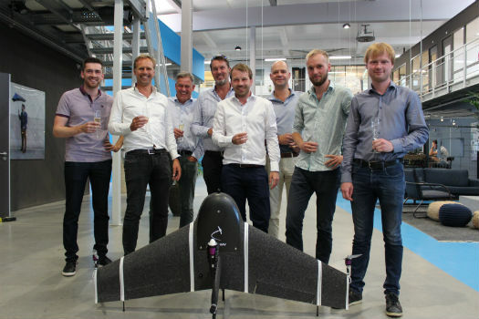
3rd July 2018
Next-generation mapping drone raises capital for further expansion
2nd July 2018
Headwall Appoints Christopher Calling to Board of Directors
28th June 2018
Bluesky Tree Map Helps Insurers Manage Drought Subsidence Risk
28th June 2018
EarthSense Joins Project to Reduce Air Pollution in Oxfordshire27th June 2018
Juniper Unmanned Named 2018 Colorado Company
27th June 2018
NIBE Hots Up Service Levels with Maxoptra Routing
25th June 2018
Cloud to power Canary Wharf Digital Transformation22nd June 2018
Esri User Conference Highlights Where Mapping Technology Is Headed Next
21st June 2018
Safe Software renews FME Certification for 1Spatial’s Mary O’Brien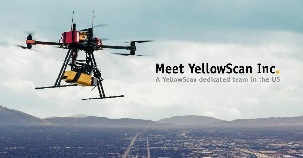
21st June 2018
YellowScan, UAV LiDAR specialist, opens YellowScan Inc. in Salt Lake City.
19th June 2018
ObliMapper Transforming Drone Imagery into Actionable Visual Intelligence19th June 2018
PCI Geomatics Attend 39th Annual Canadian Symposium on Remote Sensing