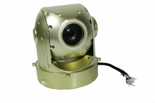
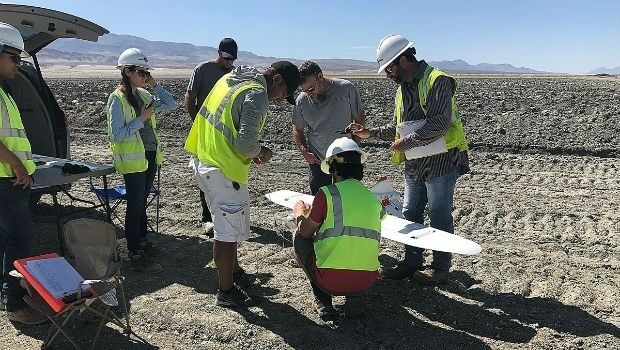
New UAVOS 3-Axis Camera Gimbal at XPONENTIAL 2019
28th March 2019
New UAVOS 3-Axis Camera Gimbal at XPONENTIAL 2019Aerial imaging is revolutionizing the way we capture, analyze, and utilize geospatial data. Using high-resolution aerial photography and remote sensing technologies, it provides accurate and detailed visual information essential for mapping, environmental monitoring, infrastructure planning, and disaster response.
Modern aerial imaging solutions include manned aircraft, UAVs (drones), and satellite-based systems equipped with advanced sensors such as LiDAR, multispectral, and hyperspectral cameras. These technologies enable high-precision mapping, 3D terrain modeling, change detection, and real-time geospatial analysis, supporting industries such as urban planning, agriculture, forestry, defense, and construction.
With cloud-based processing, AI-powered image analysis, and real-time data streaming, aerial imaging continues to advance, offering faster, more accurate, and scalable solutions for GIS professionals and decision-makers.
GeoConnexion provides the latest insights on aerial imaging trends, innovations, and applications, helping professionals leverage aerial data for better spatial intelligence and operational efficiency.
28th March 2019
New UAVOS 3-Axis Camera Gimbal at XPONENTIAL 2019
28th March 2019
Maxar Selected to Provide its NaturalVue® 2.0 Image Mosaic27th March 2019
GeoSpock secures additional funding and hires technology leader25th March 2019
Bringing location to life at the GeoPlace conference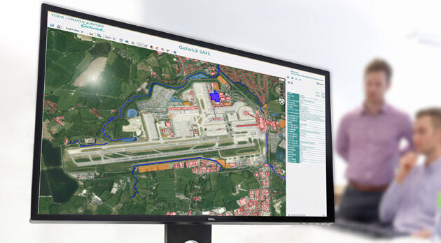
25th March 2019
Gatwick Airport Plans for the Future Using Bluesky Aerial Photography22nd March 2019
Bury Council Turns to Yotta for Highways and Street Lighting Maintenance21st March 2019
Airbus bluelight solutions now available on UK’s Data and Applications
20th March 2019
Kinesis Vehicle Tracking Gets Smart with Alexa Integration
19th March 2019
Register for the free UltraCam Panther webinar on March 2614th March 2019
CompassCom® is Releasing CompassTrac® v7.3 MRM/ IoT Platform
14th March 2019
DFS takes leading position in the UTM world by investing in Unifly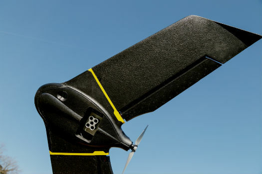
13th March 2019
Introducing the senseFly eBee X with MicaSense RedEdge-MX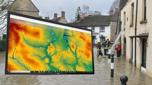
13th March 2019
Bluesky 3D Terrain Models Upgrade Ambiental Risk Analytics’ UK Flood Risk Map
13th March 2019
PIX4D announces first user conference in Denver, Colorado11th March 2019
Rotorcraft Asia (RCA) 2019 and Unmanned Systems Asia (UMSA) 2019
8th March 2019
Terra Drone's First Global Summit Attended by over 20 Countries

6th March 2019
Bluesky & Getmapping Launch Online Aerial Mapping Service for UK Public Sector
5th March 2019
Cadcorp announces Housing Conference dates2nd March 2019
Hexagon’s Mining division partners with FluidIntel
1st March 2019
Fugro To Apply Specialist Geodata Services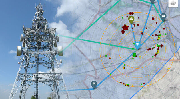
28th February 2019
Bluesky 3D Models Improve Mobile, 5G and Smart City Network Planning26th February 2019
Commercial UAV Expo Americas Announces Massive Support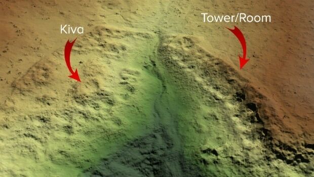
26th February 2019
Routescene Inc. drone based LiDAR system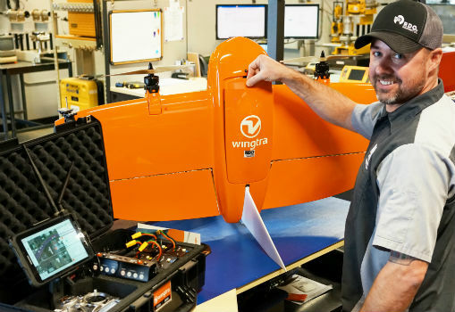
22nd February 2019
RDO becomes first WingtraOne drone Certified Repair Center
21st February 2019
Terra Drone brings proven UAS solutions to India
19th February 2019
IN-FLIGHT Data awarded three GUINNESS WORLD RECORDS™
15th February 2019
Bentley Systems Announces OpenUtilities™ Solutions for DER
14th February 2019
Link between trees and mental health revealed by researchers using Bluesky Tree Map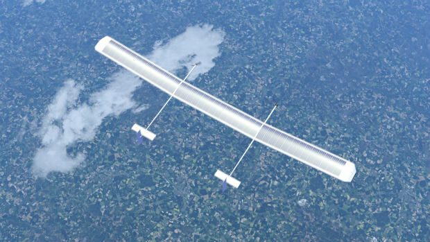
13th February 2019
New high-altitude platform to revolutionise the way we look at earth
13th February 2019
Parkbob and ESA join forces for satellite-driven parking availability services in smart cities
13th February 2019
Drive, Park, Ride: Moovit and TomTom Align With Microsoft
12th February 2019
NavVis now uses SLAM to automatically remove point cloud artifacts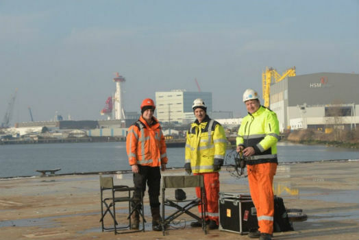
12th February 2019
RIMS in certification as Remote Inspection Specialist using drones
12th February 2019
SimActive Expands its Partner Network for Medium Format Camera Solutions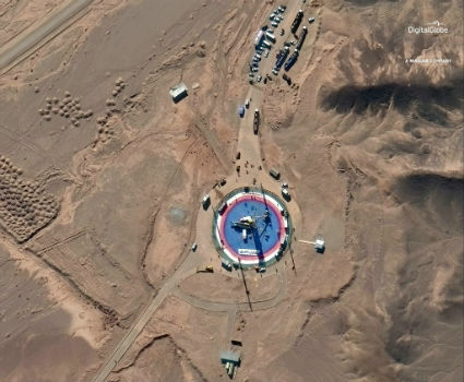
8th February 2019
Pre- and Post-Launch at of Iranian Satellite
8th February 2019
Oil Spill Response Limited (OSRL) Announces New Global UAV Service
8th February 2019
Terra Drone Invested in Indonesia’s Drone Service Company AeroGeosurvey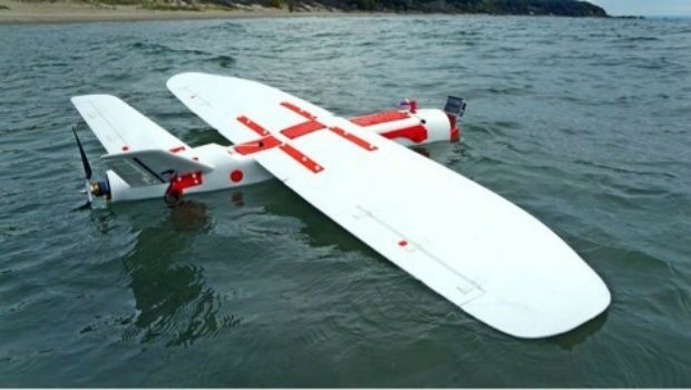
7th February 2019
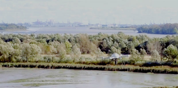
Pioneering steps into fixed wing - water landing drones in marine ecology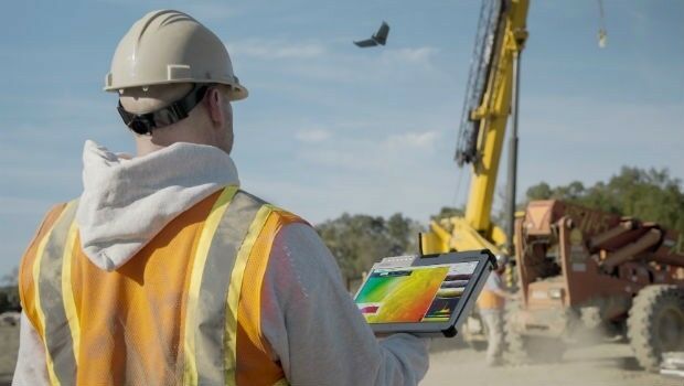

3rd February 2019
Lockheed Martin purchase an Aeromapper Talon UAS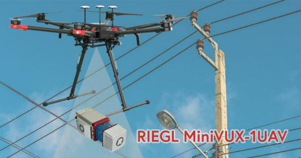
1st February 2019
CompassDrone, Newest Division Of CompassData,
30th January 2019
Delair opens first customer service centers in the US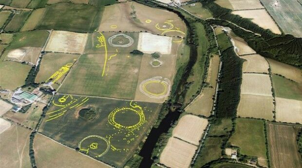
30th January 2019
Bluesky Aerial Photographs Reveal Hidden Irish Archaeological Sites