Introducing Airwards: a unifying global accreditation scheme championing ground-breaking drone work
14th January 2021
Introducing Airwards: a unifying global accreditation scheme championing ground-breaking drone work14th January 2021
Introducing Airwards: a unifying global accreditation scheme championing ground-breaking drone work13th January 2021
The Cyprus based Joint Rescue Coordination Center has upgraded drones from C-Astral Aerospace17th December 2020
UAVOS & TITRA Alpin Unmanned Helicopter Successful Flight in Turkey’s Sky14th December 2020
UAVLAS Developed Universal Solution for Precision & Safe Landing for UAVs10th December 2020
Parrot, UgCS partnership augments drone mission planning, mapping8th December 2020
SimActive Software Integrated in LiDAR Solution for Drones6th December 2020
The Airbus Zephyr, Solar High Altitude Platform Station (HAPS) concludes a successful new test flight campaign in Arizona, USA4th December 2020
Atmos UAV joins forces with Topcon Positioning Group2nd December 2020
UgCS Industrial Solutions introduces the drone-integrated metal detection system1st December 2020
UAVOS Servos Expands Family with Xservo-Series Actuators27th November 2020
Categories announced for global awards platform25th November 2020
Terra Drone completes the investment in Slovenia’s aerospace solutions provider C-Astral24th November 2020
ADW Hybrid 2020: Building the global UAM ecosystem3rd November 2020
New RIEGL VUX-120 Video Available On Youtube3rd November 2020
Record-breaking drone show enabled by u-blox positioning technology
29th October 2020
RIEGL VUX-120 UAV LiDAR Sensor for Corridor Mapping29th October 2020
Virtual Surveyor Offers Enhanced Functionality in Free Version of Drone Surveying Software29th October 2020
senseFly drones help monitor Lake Winnipeg ice hazards25th October 2020
UAVOS Continues to implement its Unmanned Aircraft Conversion Program25th October 2020
Parrot Announces Partnership with Colorado Drone Chargers23rd October 2020
Esri UK signs partnership with drone hardware specialist Heliguy to create end-to-end drone solution for AEC12th October 2020
Atmos UAV releases a major Marlyn update called “Autumn Hike” revealing enhanced corridor mapping and intelligent checklist9th October 2020
Terra Drone soars to the top in world’s top drone service provider rankings7th October 2020
Recordings are Now Available for the RIEGL Ultimate LiDAR September Webinar Series6th October 2020
UAVOS's Control System for High Altitude Platform Station ApusDuo Enables It To Fly In Unstable Atmospheric Conditions1st October 2020
SwRI Adds Drone-Based Photogrammetry To Geologic Research Services24th September 2020
Pix4D announces Pix4Dmatic: accurate, faster photogrammetry on a larger scale24th September 2020
Independent Security Audit Confirms Privacy and Security Benefits of Parrot FreeFlight 6 App22nd September 2020
Scaling New Safety Heights with Fixed-Wing Drone Technology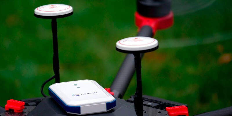
17th September 2020
India embraces BVLOS flights together with Unifly
17th September 2020
Terra Drone invests in Dutch Drone Solution provider Skytools

17th September 2020
Phase One Industrial and Acecore Announce Integration of Camera and Drone Technologies17th September 2020
Drone and fast mapping for public safety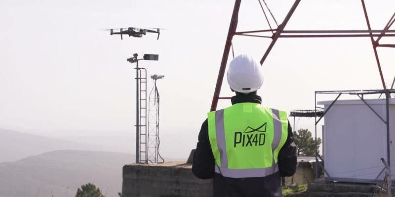
17th September 2020
Pix4D and SAP start a joint innovation project for the 3D inspection of transmission masts
16th September 2020
Parrot, active participant in French Drone regulation16th September 2020
Woolpert’s mapping and surveying experiences leads to work in Colorado, Indianapolis16th September 2020
Virtual Surveyor introduces new feature to drone surveying software15th September 2020
Emesent helps DJI M300 fly autonomously underground13th September 2020
Teledyne CARIS Mira AI software contributes to successful UTAS UAV Mission13th September 2020
Unmanned Aircraft Selected to Support Site Acceptance Testing of North Dakota’s Statewide BVLOS Network13th September 2020
2020 Commercial UAV Expo Americas to Take Place Virtually This Week10th September 2020
Virtual Surveyor Offers Enhanced Functionality in Free Version of Drone Surveying Software7th September 2020
Kongsberg Geospatial integrates the World's Highest Resolution Globally Available 3D Terrain Data with UAS Ground Control Station3rd September 2020
43 UAS Solutions Providers Have Signed On To Exhibit At 2020 Commercial UAV Expo Americas Virtual2nd September 2020
Parrot Selected by the U.S. Defense Innovation Unit (DIU) as a major drone supplier for the U.S. Government1st September 2020
RIEGL’s Ultimate LiDAR Webinar Series and More: September 2020