
Pix4DMapper + Aeromapper Talon fixed wing BVLOS system
6th December 2018
Pix4DMapper + Aeromapper Talon fixed wing BVLOS systemThe 2D and 3D measurement of points, distances and angles of features and objects on the Earth’s surface. See also Surveying Instrumentation topic. This topic covers the science and techniques that govern the 2D and 3D measurement of points, distances and angles of natural and man-made features and objects on the Earth’s surface. These measurements are acquired for a wide range of practical applications in construction, engineering, land use planning, mapmaking and cadastral projects, See also Surveying Instrumentation topic for the various tools employed to acquire survey measurements.
6th December 2018
Pix4DMapper + Aeromapper Talon fixed wing BVLOS system5th December 2018
Fugro’s Surveys To Improve Coastal Resilience In Pacific Island Nation, Tuvalu5th December 2018
GeoCue Enables Third Party GNSS Use with Phantom 4 RTK5th December 2018
GSSI to Showcase UtilityScan® GPR system at AGU Fall Meeting5th December 2018
RIEGL will be exhibiting and presenting at IAFSM 2018!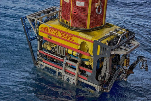
5th December 2018
Fugro’s IRM Efficiencies Reduce Costs And Attract New North Sea Clients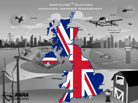
4th December 2018
ANRA Technologies UAS Traffic Management (UTM) Soars Into The UK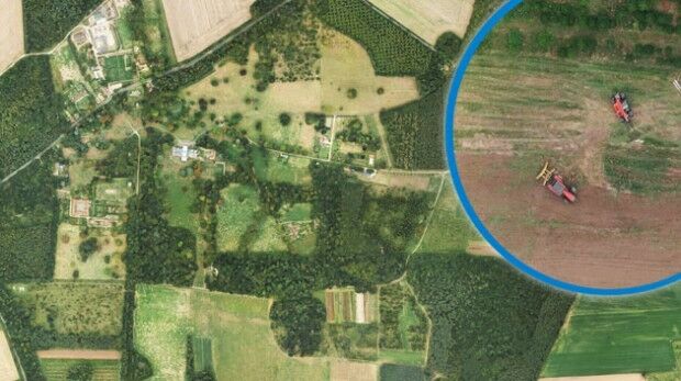
4th December 2018
Bluesky Aerial Images Help Reveal Secrets of Farm Management

30th November 2018
Septentrio boosts its portfolio with mosaic GNSS module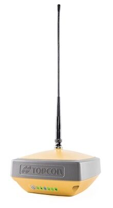
28th November 2018
Introducing the Topcon HiPer VR GNSS Receiver

28th November 2018
What apps can I use with Trimble Catalyst?27th November 2018
EuroSDR One-Day Workshop on Single Photon and Geiger-Mode LiDAR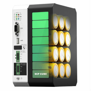
26th November 2018
ARBOR Presents Super Cap UPS with LoRa Sensor Nodes
26th November 2018
Getmapping appoints Geosolutions Consultant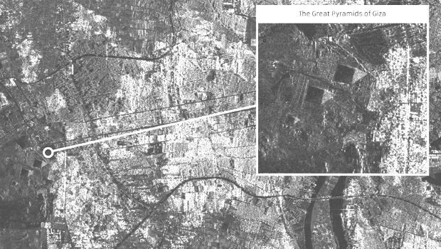
24th November 2018
SSTL releases first images from NovaSAR-1
23rd November 2018
Fugro Generates Aud 10 Million Cost Saving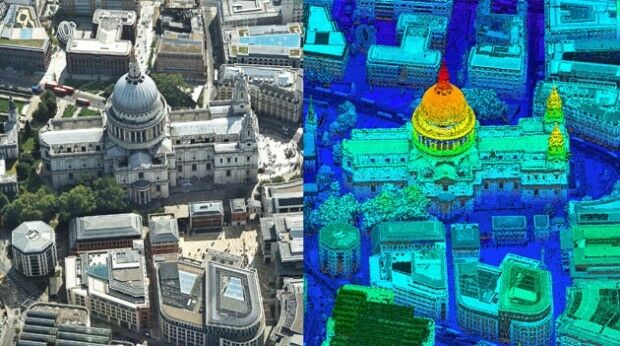
21st November 2018
Bluesky first to use Leica CityMapper to capture UK cities in 3D
20th November 2018
Getmapping Announces New European Management Team Structure
20th November 2018
Harrow Council Completes Highway Asset Surveys with Saber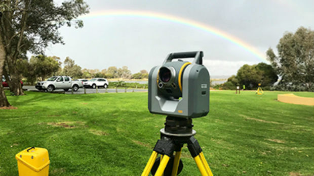
20th November 2018
Trimble SX10: The one that started it all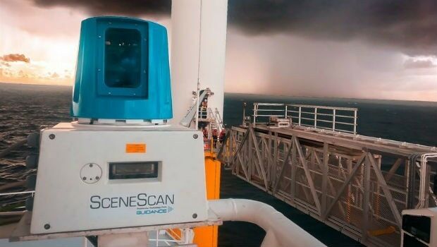
14th November 2018
Wärtsilä launches SceneScan, the first targetless laser sensor_Machlis.jpg)
14th November 2018
Elbit Systems Awarded $167 Million Contract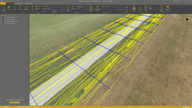
13th November 2018
Virtual Surveyor 6.1 Handles More Than Drone Data
13th November 2018
FLEXPOINT® MVnano Series - Gap Measurement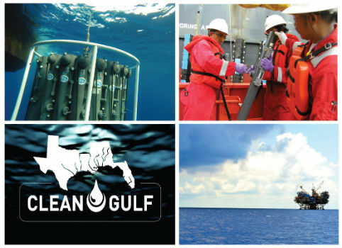
12th November 2018
CSA Scientists Presenting Case Studies in Environmental Monitoring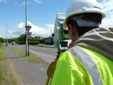
9th November 2018
TSA steps up the campaign to halt equipment theft
8th November 2018
Inauguration of Europe’s most modern satellite control centre
8th November 2018
PointStudio - New name and platform for Maptek spatial data application7th November 2018
RIEGL will be attending and exhibiting at Autodesk University 2018!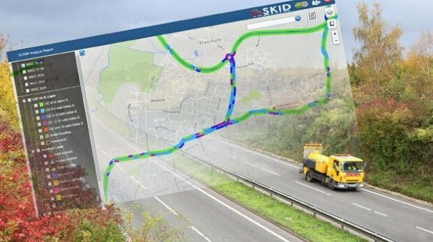
6th November 2018
Saber Skid Analysis Software Drives Safer Road Planning

30th October 2018
Saber Online Surveys Aid Forward Planning for West Sussex Highways
29th October 2018
SAFIR consortium chosen to carry out U-space drone demonstrations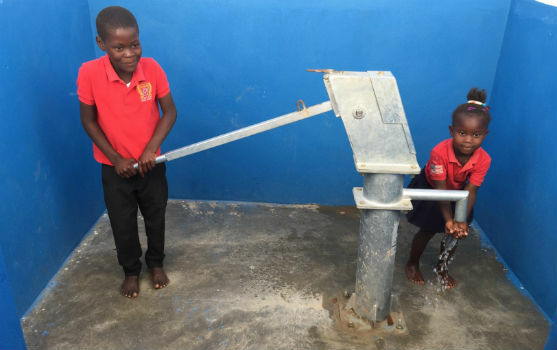
27th October 2018
Eos Supports Haiti Outreach in its Sustainable Water Initiative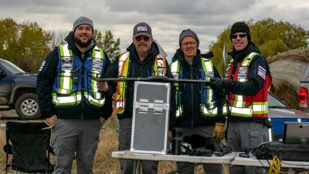
25th October 2018
Airbus launches Ocean Finder to improve safety of assets at sea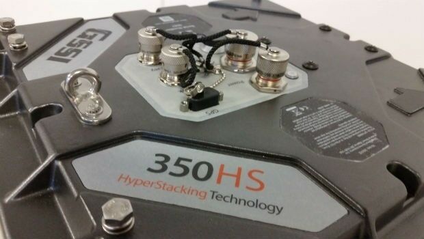
25th October 2018
GSSI Highlights UtilityScan® GPR System at GSA Annual Meeting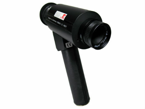
24th October 2018
IR Viewers - Available from Stock for Quick Dispatch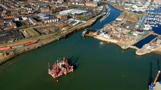
24th October 2018
Fugro Seminar To Spotlight Role Of Geoscience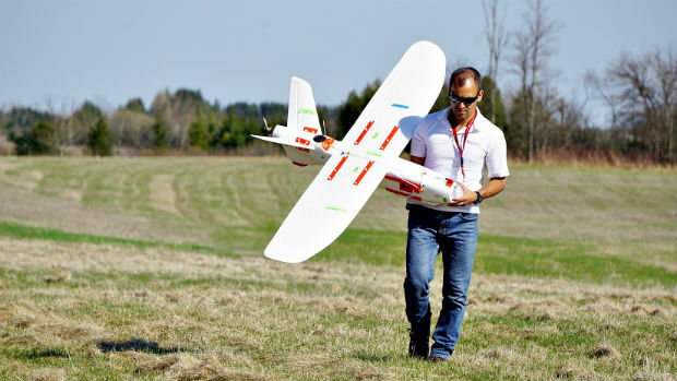
24th October 2018
Lockheed Martin Purchase An Aeromapper Talon sUAS
24th October 2018
Remember Remember QGIS 3 Training in November
24th October 2018
MAPPS Announces Passage of the Geospatial Data Act24th October 2018
RIEGL to Exhibit and Present at Future of Mining Americas 2018!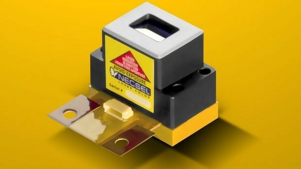
23rd October 2018
1W Output Power at 577nm - Yellow High Power Laser