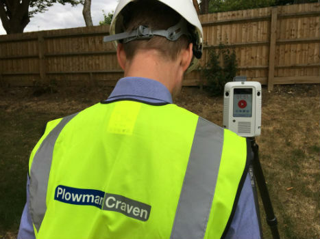
Plowman Craven collaborates with Leica Geosystems on RTC360
3rd August 2018
Plowman Craven collaborates with Leica Geosystems on RTC360The 2D and 3D measurement of points, distances and angles of features and objects on the Earth’s surface. See also Surveying Instrumentation topic. This topic covers the science and techniques that govern the 2D and 3D measurement of points, distances and angles of natural and man-made features and objects on the Earth’s surface. These measurements are acquired for a wide range of practical applications in construction, engineering, land use planning, mapmaking and cadastral projects, See also Surveying Instrumentation topic for the various tools employed to acquire survey measurements.
3rd August 2018
Plowman Craven collaborates with Leica Geosystems on RTC360
23rd July 2018
The Survey School’s 2018 graduates take home the prizes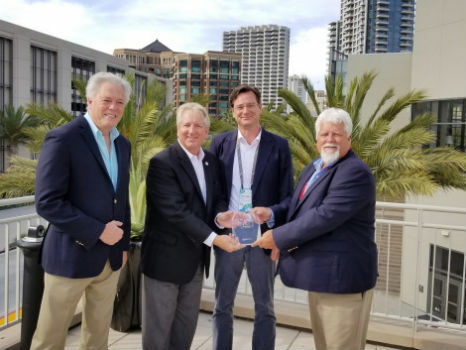

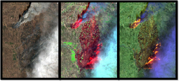
17th July 2018
Earth-i led consortium secures grant from UK Space Agency.
13th July 2018
Hexagon opens new mining headquarters in Tucson, Arizona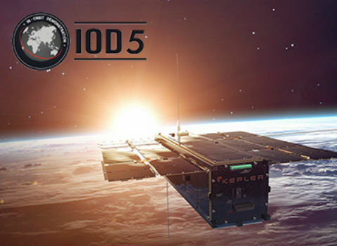
12th July 2018
Catapult partners with Kepler Communications9th July 2018
APLITOP & TOPOTRADE: Welcome to discover TcpMDT Best Surveying Application7th July 2018
Fugro Returns To Ørsted’s Hornsea Offshore Wind Farm Sites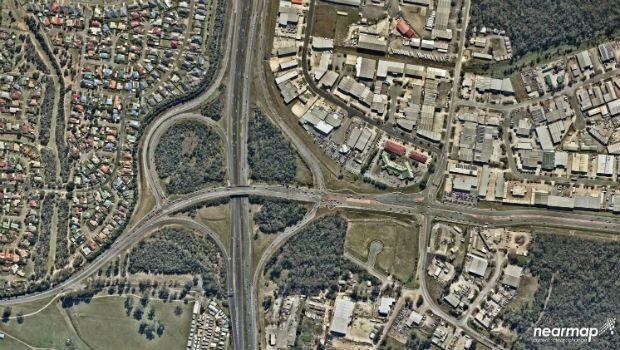
6th July 2018
Mobile Mapping System Helps Australia’s Northgroup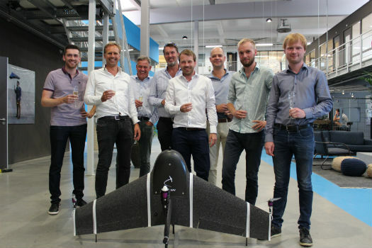
3rd July 2018
Next-generation mapping drone raises capital for further expansion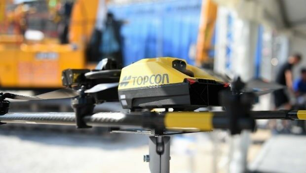
3rd July 2018
Topcon Brings Cutting-Edge Construction To Hillhead
2nd July 2018
Headwall Appoints Christopher Calling to Board of Directors
28th June 2018
EarthSense Joins Project to Reduce Air Pollution in Oxfordshire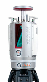
27th June 2018
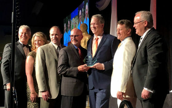
Juniper Unmanned Named 2018 Colorado Company.jpg)
27th June 2018
Trimble’s New Tunnel Solutions Streamline Workflows
26th June 2018
TOPCON INDIA - Tunnel Analysis by Aplitop's Software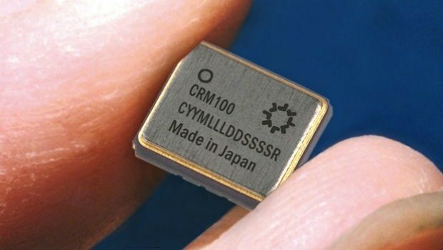
25th June 2018
Silicon Sensing increases gyro production by 30%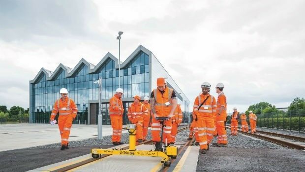
25th June 2018
KOREC launches Trimble’s GEDO IMS to key players in the UK rail industry22nd June 2018
Soar TGE to generate the world’s first fully decentralised global super-map using drones21st June 2018
exactEarth and IHS Markit to Deliver Real-time Vessel Tracking Solution
21st June 2018
YellowScan, UAV LiDAR specialist, opens YellowScan Inc. in Salt Lake City.20th June 2018
Ordnance Survey appoints Philippa Hird as Non-Executive Director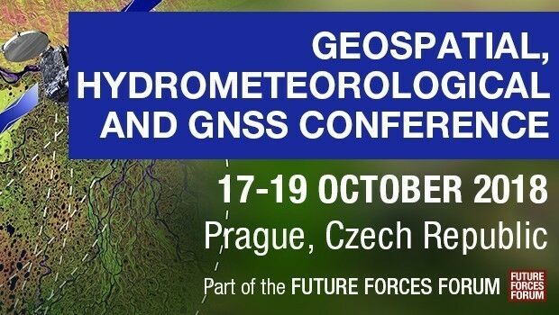
20th June 2018
Join Geospatial, Hydrometeorological and GNSS Conference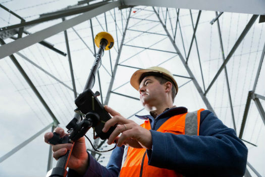
20th June 2018
RIEGL to Attend and Present at the 19th Annual JALBTCX20th June 2018
Topcon releases new edition of MAGNET software suite15th June 2018
Hexagon introduces HxGN MineOperate UG Pro for Miners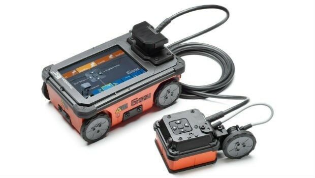
15th June 2018
GSSI Showcases and Demonstrates World Leading GPR Systems in Switzerland
14th June 2018
EarthSense Activates Zero Emission Running to Reduce City Air Pollution13th June 2018
BLK3D imager from Leica Geosystems raises the bar in 3D measurement
12th June 2018
Headwall Integrates Hyperspectral and LiDAR Aboard UAV Platforms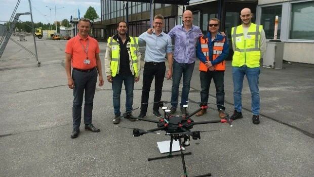
8th June 2018
Unifly and CanardDrones show real capabilities in Finland8th June 2018
Sofradir and ULIS undergo structural reorganization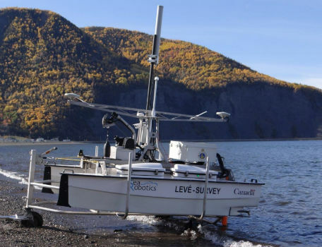
8th June 2018
SeaRobotics Delivers Two Autonomous Hydrographic Survey Vehicles
8th June 2018
Pix4D launches its first fully dedicated product for agriculture8th June 2018
The Pipeline Company in Thailand Applies SuperSurv to Improve the Efficiency of Inspection and Manag7th June 2018
Going Deeper Underground – Can We Build An Underground Map Of The UK?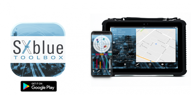
6th June 2018
SXblue Introduces Android Application ToolBox_.jpg)
31st May 2018
Elbit Systems Subsidiary in Canada Awarded a Contract in South Korea
31st May 2018
Pointfuse Unlocks ‘As Built’ Data with Autodesk Integration
30th May 2018
Esri Announces Release of Sentinel-2 Image Services