
APLITOP & MAPTEC: Full solution for Surveying and Civil Engineering projects
23rd October 2018
APLITOP & MAPTEC: Full solution for Surveying and Civil Engineering projectsThe 2D and 3D measurement of points, distances and angles of features and objects on the Earth’s surface. See also Surveying Instrumentation topic. This topic covers the science and techniques that govern the 2D and 3D measurement of points, distances and angles of natural and man-made features and objects on the Earth’s surface. These measurements are acquired for a wide range of practical applications in construction, engineering, land use planning, mapmaking and cadastral projects, See also Surveying Instrumentation topic for the various tools employed to acquire survey measurements.
23rd October 2018
APLITOP & MAPTEC: Full solution for Surveying and Civil Engineering projects
22nd October 2018
Ordnance Survey appoints John Clarke as Non-Executive Director19th October 2018
Spectra Precision Announces Name Change and a New Brand Identity19th October 2018
Government of Canada to Invest $7.2 Million in exactEarth

19th October 2018
Remote GeoSystems Releases New MISB FMV Module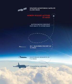
18th October 2018
Uavos Inc. And Stratodynamics Aviation Inc. Pioneer A Monitoring Project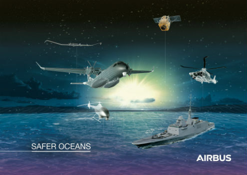
18th October 2018
Airbus to showcase smart solutions for safer oceans at Euronaval
18th October 2018
Advanced subsurface insight is theme of Fugro geophysics seminar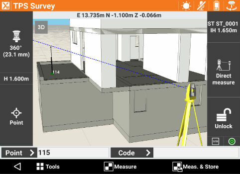
17th October 2018
GeoMax announces X-PAD Ultimate field software17th October 2018
Geomni Forms Strategic Alliance with Skyline Software Systems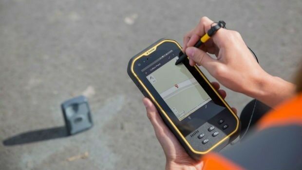
17th October 2018
Trimble Introduces New Handheld Computer for Field Data Collection17th October 2018
Rugged Tablet Purpose-built for High Accuracy Measurements16th October 2018
International LiDAR Mapping Forum Announces 2019 Education Program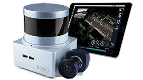
16th October 2018
Kaarta Announces Stencil 2 Mobile Mapping System
15th October 2018
Pointfuse Launches New Laser Scanning Software Suite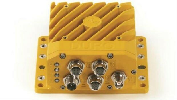
15th October 2018
Swift Navigation and Carnegie Robotics Introduce Duro Inertial
12th October 2018
Topcon announces speaking presentations for Year in Infrastructure 2018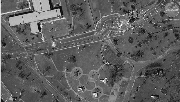
12th October 2018
Hurricane Michael Aftermath in Panama City and Tyndall AFB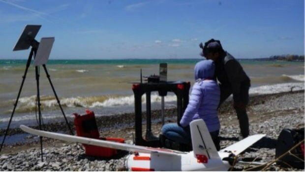
12th October 2018
Aeromao Inc. announces the Aeromapper Talon Amphibious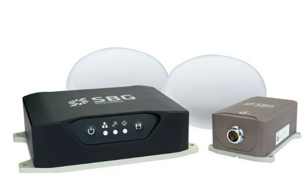
11th October 2018
Navsight Land/Air Solution: Powerful New Inertial Navigation Solution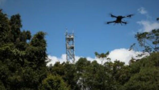
11th October 2018
Novel LIDAR Data Improves Our Understanding Of Tropical Forests11th October 2018
Meet the latest GeoTech and PropTech companies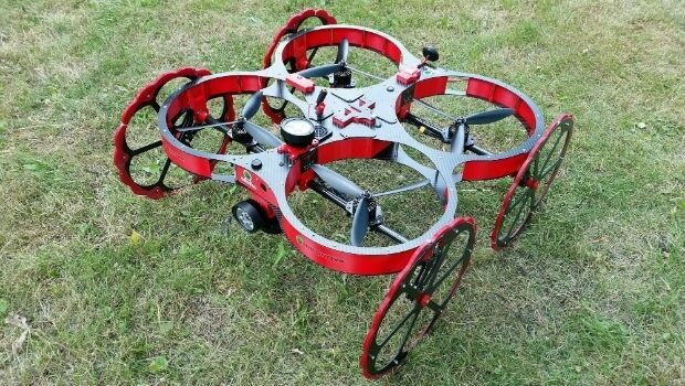
11th October 2018
Japan-based Terra Drone acquires significant stake in Inkonova.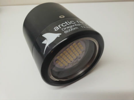
11th October 2018
Arctic Rays Launches New Ultra-High Output Lights
9th October 2018
Spottitt Launches Cloud-Based Geospatial Data Analysis9th October 2018
Hexagon presents solutions for smart digital realities at INTERGEO
8th October 2018
Highways Surveyors map out a new direction with Saber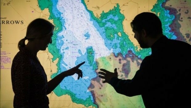
8th October 2018
UK Hydrographic Office to unlock the value of location-based information5th October 2018
URISA Releases White Paper Defining the Boundaries of Practice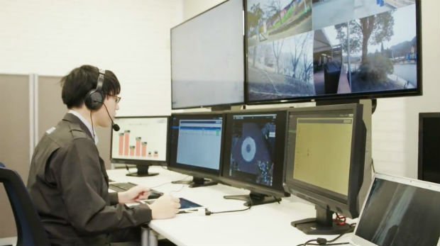
5th October 2018
Unifly and Terra Drone co-develop UTM system with Hitachi5th October 2018
Leading Maritime Experts to Present Comprehensive Technical Briefings3rd October 2018
Fugro Enhances Support For Oil And Gas Industry In Nigeria
3rd October 2018
Dr. Oliver Montenbruck Receives Johannes Kepler Award
2nd October 2018
RIEGL to Attend and Exhibit at IACP 2018!
2nd October 2018
GSSI to Showcase Latest GPR Products at INTERGEO 2018
2nd October 2018
GSSI Showcases Newest GPR Equipment at ASNT Annual Conference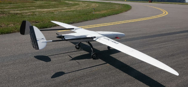
1st October 2018
UAVOS Fixed-Wing UAV Sitaria Completed Flight Tests
1st October 2018
UltraCam Panther & UltraMap Terrestrial v1.0 released
28th September 2018
How Drones Can Optimize Surveying and Mapping Projects26th September 2018
Geovation helps establish GeoTech and PropTech
26th September 2018
SAM, LLC: Using Technology To Enhance Solutions
26th September 2018
BARSC Welcomes SSTL as a New Corporate Member26th September 2018
Driving geospatial innovation in Singapore and the United Kingdom_Airbus_-_AirNode_Demo.jpg)
25th September 2018
Dowe Gallagher Adds Textron Cessna Caravan EX To Lidar Offerings