Software Integration
Don't miss a beat, sign up to our newsletter
2010 Census Data and 2017 ACS Data for Use with Maptitude
5th April 2019
2010 Census Data and 2017 ACS Data for Use with Maptitude
LuxCarta Announces Availability of Geodata
20th March 2019
LuxCarta Announces Availability of Geodata
Esri Awards Schneider Electric for Exceptional Achievement
7th March 2019
Esri Awards Schneider Electric for Exceptional Achievement
Nominations for the Year in Infrastructure 2019 Awards Program
1st March 2019
Nominations for the Year in Infrastructure 2019 Awards Program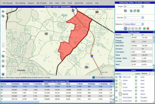
Selected for Maryland's Online Redistricting Mapping Portal
25th February 2019
Selected for Maryland's Online Redistricting Mapping Portal
Schneider Electric Expands Electric, Gas And Water Features
23rd October 2018
Schneider Electric Expands Electric, Gas And Water Features
Global Mapper Adds Online Access to NEXTMap One™
12th October 2018
Global Mapper Adds Online Access to NEXTMap One™
Esri Incorporates BuildingFootprintUSA Data for Deep Learning
4th October 2018
Esri Incorporates BuildingFootprintUSA Data for Deep Learning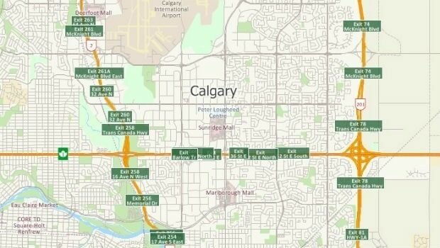
Free Highway Exits & Interchanges Data for Use with Maptitude 2018
1st October 2018
Free Highway Exits & Interchanges Data for Use with Maptitude 2018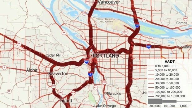
Free U.S. Traffic Count Data for Use with Maptitude
1st October 2018
Free U.S. Traffic Count Data for Use with Maptitude
‘Ocean’ satellite Sentinel-6A beginning to take shape.
30th August 2018
‘Ocean’ satellite Sentinel-6A beginning to take shape.
URISA's GISCorps Announces Community Maps
28th August 2018
URISA's GISCorps Announces Community Maps
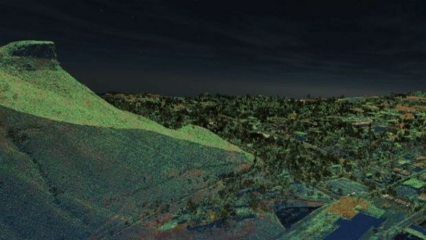
Fugro’s New Ramms Technology Advances Bathymetric Lidar Mapping Capabilities
9th August 2018
Fugro’s New Ramms Technology Advances Bathymetric Lidar Mapping Capabilities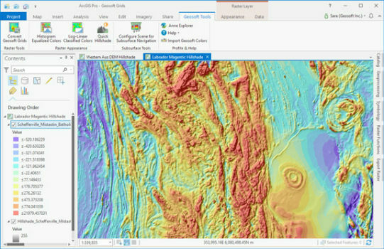
Geosoft add-in enhances integration with ArcGIS Pro
5th July 2018
Geosoft add-in enhances integration with ArcGIS Pro
G-Cloud 10 includes “The Magnificent Seven” from Europa Technologies
29th June 2018
G-Cloud 10 includes “The Magnificent Seven” from Europa Technologies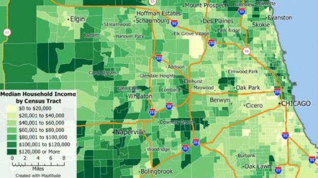
Ordnance Survey appoints Philippa Hird as Non-Executive Director
20th June 2018
Ordnance Survey appoints Philippa Hird as Non-Executive Director
Bentley Systems Named 2018 Microsoft CityNext Partner of the Year
15th June 2018
Bentley Systems Named 2018 Microsoft CityNext Partner of the Year
Going Deeper Underground – Can We Build An Underground Map Of The UK?
7th June 2018
Going Deeper Underground – Can We Build An Underground Map Of The UK?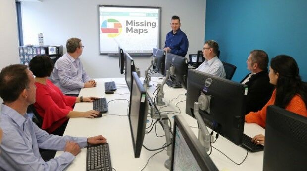
thinkWhere Supports Global Humanitarian Project to Map Disaster Areas
24th May 2018
thinkWhere Supports Global Humanitarian Project to Map Disaster Areas
Bluesky Esri UK Partnership Helps Roll-Out of 5G and Full Fibre Networks
22nd May 2018
Bluesky Esri UK Partnership Helps Roll-Out of 5G and Full Fibre Networks
Maptitude Mapping Software Team Provides Awards & Prizes
3rd May 2018
Maptitude Mapping Software Team Provides Awards & Prizes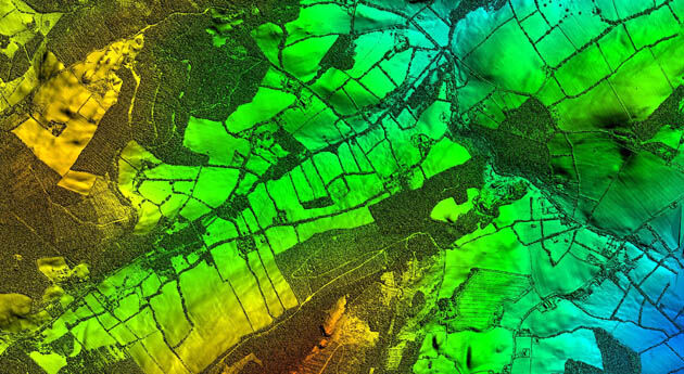
Bluesky LiDAR Supports Major Irish Water Supply Project
26th April 2018
Bluesky LiDAR Supports Major Irish Water Supply Project
Story Maps Team Leader Recognized with AAG Award
17th April 2018
Story Maps Team Leader Recognized with AAG Award
PCI Geomatics Releases GXL 2017, Service Pack 1
2nd February 2018
PCI Geomatics Releases GXL 2017, Service Pack 1
Swedish municipality Vansbro chooses Digpro
29th January 2018
Swedish municipality Vansbro chooses Digpro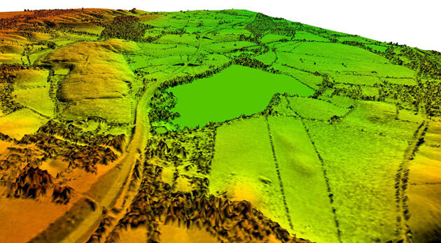
Bluesky Remote Sensing Data Improves Efficiency for WSP
23rd January 2018
Bluesky Remote Sensing Data Improves Efficiency for WSP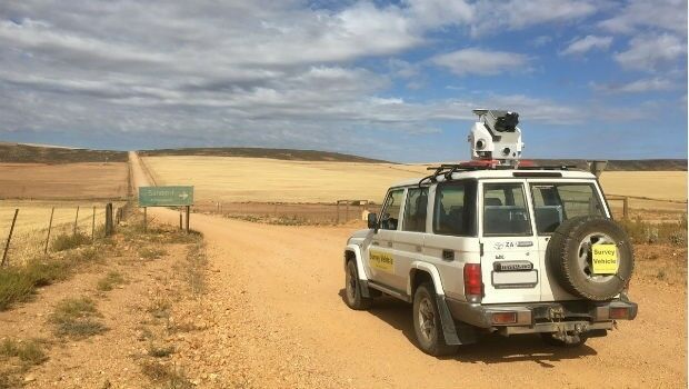
Getmapping launches Mobile Mapping Survey Solutions to southern Africa
16th January 2018
Getmapping launches Mobile Mapping Survey Solutions to southern Africa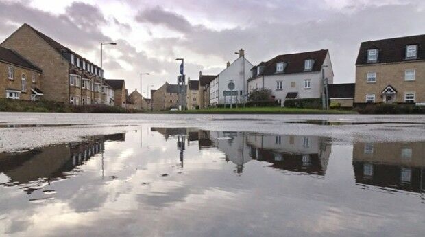
Bluesky LiDAR Helps Wiltshire Council Tackle Flooding Risk
11th January 2018
Bluesky LiDAR Helps Wiltshire Council Tackle Flooding Risk
Blue Marble Adds Chinese Reseller to its Worldwide Network of Partners
20th December 2017
Blue Marble Adds Chinese Reseller to its Worldwide Network of Partners
Esri Maps Highlight Holiday Traffic around Major Airports
19th December 2017
Esri Maps Highlight Holiday Traffic around Major Airports
GeoSLAM Celebrates 5 Years In Business With New HQ & Record Growth
15th December 2017
GeoSLAM Celebrates 5 Years In Business With New HQ & Record Growth
CGG announces the launch of CEO succession plan
6th December 2017
CGG announces the launch of CEO succession plan
Landmark hosts digital mapping and data workshops
2nd December 2017
Landmark hosts digital mapping and data workshops
Landmark Solutions launches ‘Points of Interest – Northern Ireland’
24th November 2017
Landmark Solutions launches ‘Points of Interest – Northern Ireland’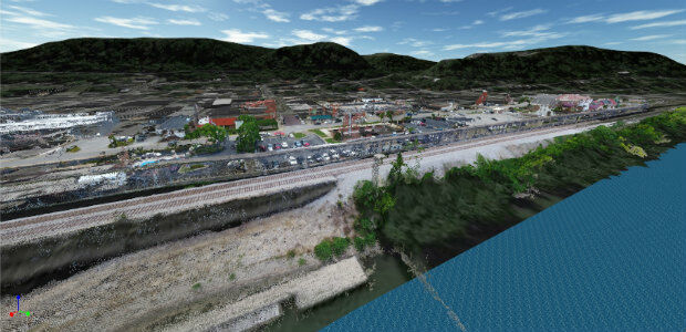
Golden Software Releases Surfer® 2D and 3D
14th November 2017
Golden Software Releases Surfer® 2D and 3D
Safe City Framework Unveiled at Smart City World Congress
14th November 2017
Safe City Framework Unveiled at Smart City World Congress
CACI Boosts Location Planning Services with Mapmechanics Acquisition
14th November 2017
CACI Boosts Location Planning Services with Mapmechanics Acquisition
Landmark's major relaunch of MAGIC interactive GB mapping service
14th November 2017
Landmark's major relaunch of MAGIC interactive GB mapping service
ADC WorldMap Releases Digital Atlas Version 7.4
7th November 2017
ADC WorldMap Releases Digital Atlas Version 7.4
Oxfordshire County Council looks to GIS to transform service delivery
3rd November 2017
Oxfordshire County Council looks to GIS to transform service delivery
Bluesky LiDAR Data Used by RPS to Assess Flood Risk for Anglian Water
2nd November 2017
Bluesky LiDAR Data Used by RPS to Assess Flood Risk for Anglian Water
Call for Proposals to develop NSDI Metadata Handbook in Namibia
23rd October 2017
Call for Proposals to develop NSDI Metadata Handbook in Namibia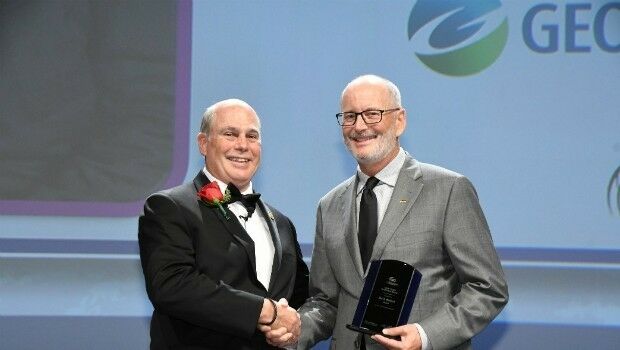
Ian MacLeod receives SEG Cecil Green Enterprise Award
23rd October 2017
Ian MacLeod receives SEG Cecil Green Enterprise Award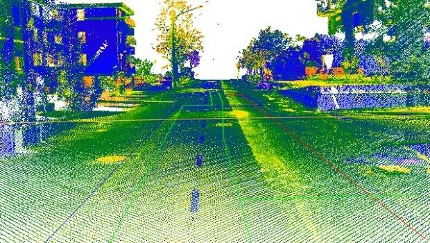
Maintenance of the utility networks with Mobile Mapping technology
20th October 2017
Maintenance of the utility networks with Mobile Mapping technology