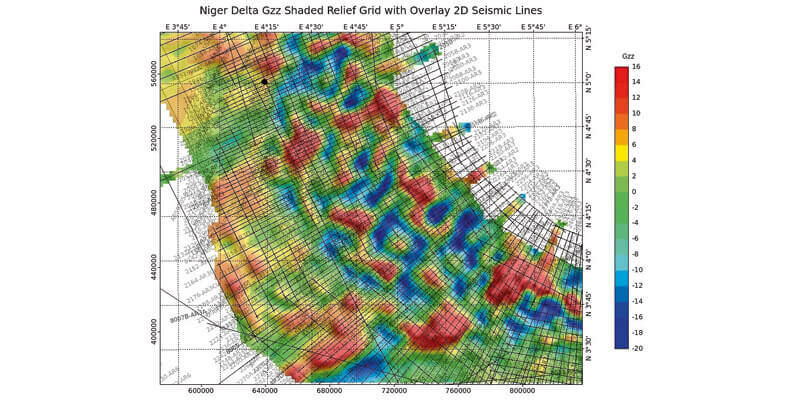
CGG Multi-Physics Updates LCT Software with Innovations for Imaging Potential Field Data
17th September 2020
CGG Multi-Physics Updates LCT Software with Innovations for Imaging Potential Field Data
17th September 2020
CGG Multi-Physics Updates LCT Software with Innovations for Imaging Potential Field Data
16th September 2020
Garmin Autoland Achieves EASA And FAA Certification On Daher TBM 940
10th September 2020
Esri Acquires nFrames to Enhance Its 3D Capabilities
9th September 2020
digitalPMRExpo 2020: Europe’s Leading Trade Fair for Secure Communications Goes Digital
7th September 2020
GSSI Updates to StructureScan Mini XT GPR Kit and Palm XT Antenna
28th August 2020
1Spatial to host online events focusing on supply chain innovation and collaboration

26th August 2020
Garmin Receives Approval For New G5000 Features And Upgrades For The Citation Excel And Citation XLS
19th August 2020
Garmin Announces Certification Of The G1000 Nxi Upgrade In The Piper Meridian
18th August 2020
Streetdrone Secures Uk Government Funding For 5g Autonomous Truck Project
11th August 2020
Recursos Técnicos Madrid, S.L. And Aec Solutions Engineers S.A.C. have signed a Collaboration Agreement
4th August 2020
Garmin Autoland Achieves Easa And Faa Certification On Daher Tbm 940
3rd August 2020
1Spatial releases new webinars and training courses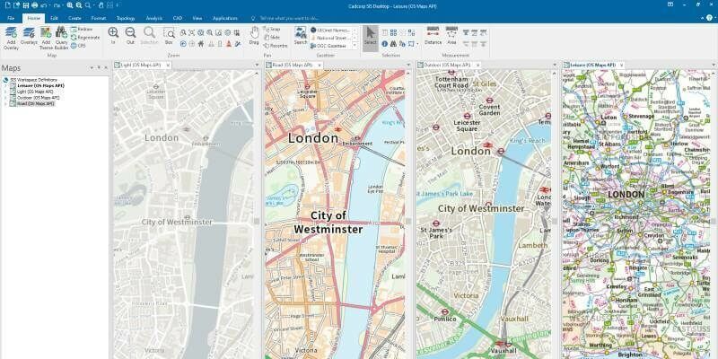
3rd August 2020
Cadcorp SIS 9 service release enables direct link to Ordnance Survey Data Hub
31st July 2020
Topcon’s MAGNET Drives Forward Norway’s Most Spectacular Construction Project - Connecting Five Islands
29th July 2020
New Topcon laser with mobile app display connectivity to bring improved productivity to today’s job sites
27th July 2020
1Spatial announce the release of 1Data Gateway v2.1
15th July 2020
Garmin Unveils G500 Txi And G600 Txi Flight Display Enhancements
10th July 2020
Bentley Systems’ Acceleration Fund Announces the Launch of Virtuosity, a Bentley Company
8th July 2020
Garmin Expands G1000 Nxi Integrated Flight Deck Upgrade Portfolio To Include The Embraer Phenom 300
2nd July 2020
Pointfuse and Leica Geosystems announce a new software and global cooperation
2nd July 2020
Automation driving safety and efficiency in essential streetworks for Northern Gas Networks
2nd July 2020
Airbus innovative payload to launch on Faraday-1 satellite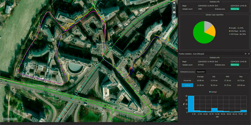
1st July 2020
Qinertia, SBG Systems’ PPK software now supports third-party IMUs

26th June 2020
Environment Agency Application Build and Managed Service Win
22nd June 2020
AirMap Geo-awareness Technologies Power skyguide’s U-space Applications
19th June 2020
1Spatial reveals new and exciting webinars and training courses
15th June 2020
1Spatial releases FY20 Results; Revenue up 33% to £23.4M; EBITDA up 167% to £3.2M
12th June 2020
1Spatial plc secures US$2.6M Expansion Contract with the US State of Michigan
12th June 2020
Garmin completes certification of the GFC 500 autopilot for nearly all single-engine Piper aircraft models
9th June 2020
TDC Joins Trimble’s GIS Business Partner Program to Empower Mobile GPS Workflows
20th May 2020
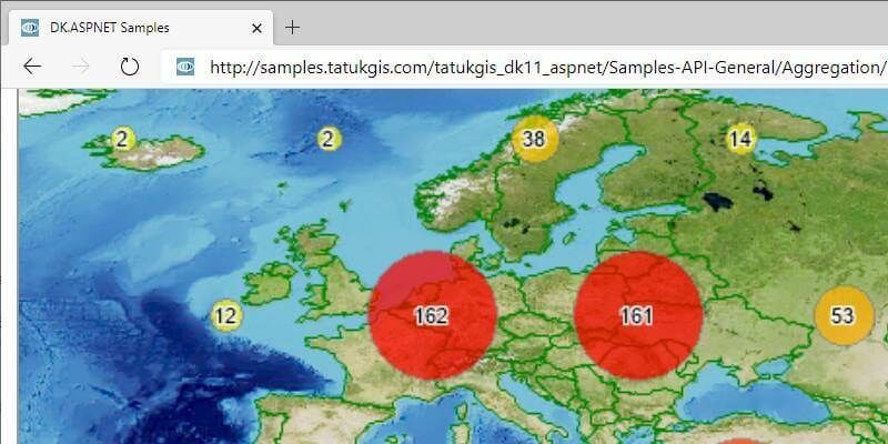
TatukGIS Developer Kernel 11 for ASP.NET Web Forms
19th May 2020
Charlesbank Capital Partners Invests $70 Million in Elbit Systems’ Subsidiary, Cyberbit
19th May 2020
Garmin Autoland achieves FAA certification for general aviation aircraft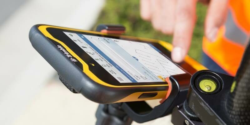
8th May 2020
New Version of Trimble Access Enables Broader Accessibility to Android OS for Surveyors
23rd April 2020
Agri-robotics for a Sustainable Farming Future
2nd March 2020
OGC announces candidate OGC API - Features - Part 2 standard
25th September 2019
Bluesky Appoints Jamieson to Drive Innovation in Aerial Mapping
18th May 2019
Maptitude 2019 Adds Enhanced MapPoint and Streets & Trips Features
17th May 2019
Orbit GT to exhibit and present at GeoBusiness, London, UK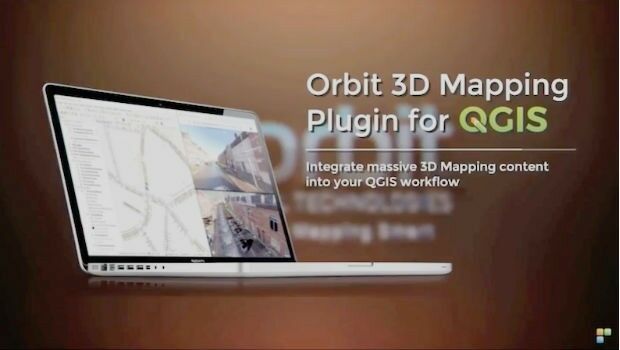
17th May 2019
Orbit GT launches 3D Mapping portfolio v19.5 and QGIS plugin update.
14th May 2019
IQGeo launches ‘reality-centric’ geospatial platform
7th May 2019
Caliper Offers 2019 Census Block Groups Data29th April 2019
Ordnance Survey and partners to create pilot map of the North East16th April 2019
Start-ups to receive funding, business support and more
10th April 2019
Bentley Systems Names Dr. Nabil Abou-Rahme as Chief Research Officer