Enhanced and Improved Functionalities for New Release of Global Mapper
18th October 2017
Enhanced and Improved Functionalities for New Release of Global Mapper18th October 2017
Enhanced and Improved Functionalities for New Release of Global Mapper6th October 2017
European Consortium Demonstrates new Internet-of-Things Platform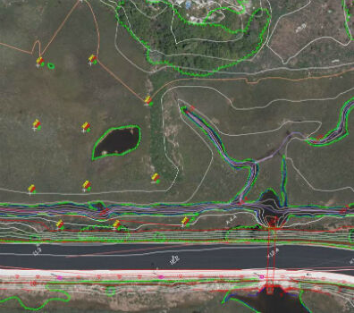
6th October 2017
Col-East Taps Extensive Image Archive to Create Multi-Function Maps


28th September 2017
RIEGL announces significant product news at INTERGEO21st September 2017
Three Swedish neighbouring municipalities choose Digpro
16th September 2017
Maptitude Supports High School Course in Geographic Technology11th September 2017
AND aims to redefine map making & change the mapping industry8th September 2017
MapAction sends two more teams to reinforce Hurricane Irma response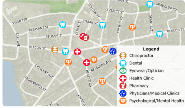
24th August 2017
Free Healthcare Data for Use with Maptitude Mapping Software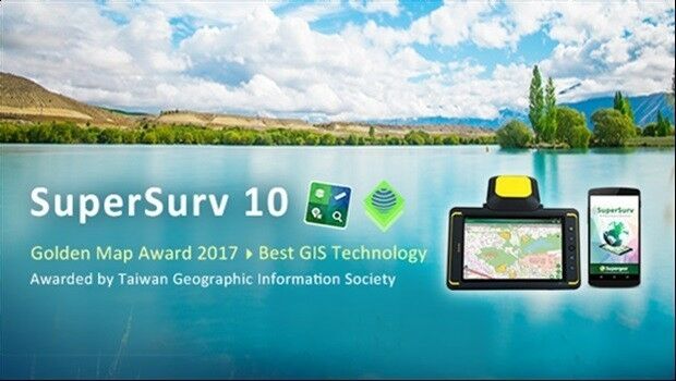
2nd August 2017
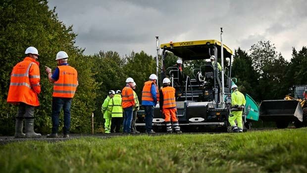
Brive City Uses SuperSurv to Update Topographic Maps1st August 2017
Geovation Programme now open to location and land disruptors.jpg)
12th July 2017
Learn More About Maptitude at the NCSL Annual Conference10th July 2017
Schneider Electric to Showcase at 2017 Esri User Conference6th July 2017
DAT/EM Systems International Updates Landscape Software
15th May 2017
1Spatial releases dates for exciting FME World Tour, courses, webinars
15th March 2017
Bluesky Acquires US Aerial Survey Company Col-East
31st January 2017
Bluesky Aerial Photomaps Help Keep Runners on Track7th September 2016
Bluesky Publishes First Online 3D Maps of Isle of Man
13th May 2016
Bluesky Data Supports Feasibility Study for New Village Development

21st January 2016
INTERGEO: supporting Hamburg’s Smart City quest


7th January 2016
INTERGEO: the global hub for Geo business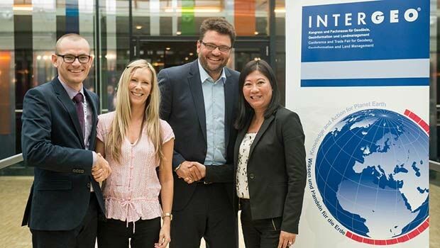


28th October 2015
INTERGEO 2015 Review - Going global. Going great!