
exactEarth to provide Advanced AIS services for MDA’s Dark Vessel Detection Program
28th April 2021
exactEarth to provide Advanced AIS services for MDA’s Dark Vessel Detection Program28th April 2021
exactEarth to provide Advanced AIS services for MDA’s Dark Vessel Detection Program
28th April 2021
Telespazio announces support for AWS Ground Station with its cloud-based service platform ENABLE28th April 2021
JUICE Jupiter probe’s first taste of space27th April 2021
SSC announces four new polar antennas to strengthen its unmatched polar connectivity
12th March 2021
Japan Air Self Defense Force to Present SSA Updates at Military Space Situational Awareness 2021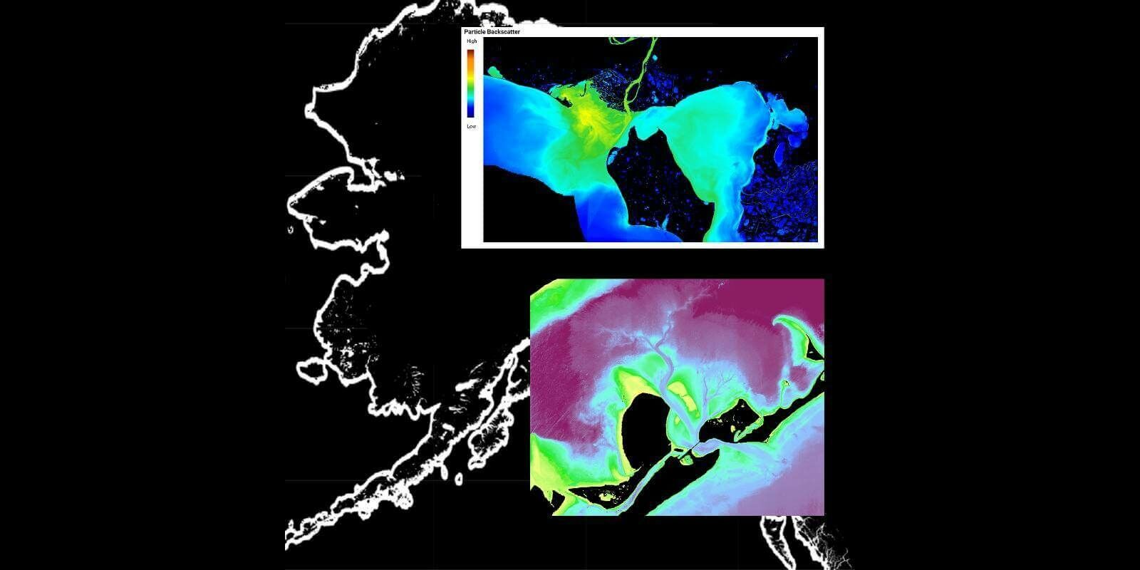
9th March 2021
TCarta Awarded NOAA Grant to Enhance Satellite Derived Bathymetry Technology in Alaskan Waters3rd March 2021
Using AI to avert ‘environmental catastrophe’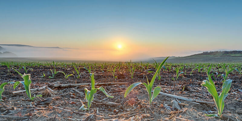
2nd March 2021
4EI Announces New UAE Managing Director, Allyson Jenkins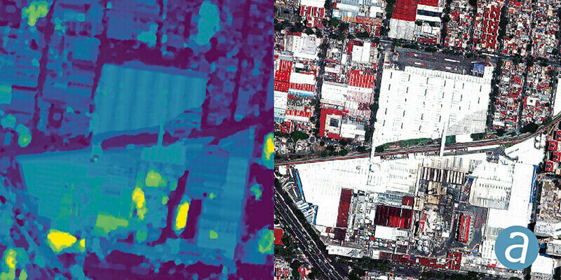
2nd March 2021
SimActive Used to Determine Solar Potential from Satellite Imagery2nd March 2021
Airbus signs multi-satellite contract with Intelsat for OneSat flexible satellites2nd March 2021
UP42 to Offer Smart Satellite Data from Australia’s LatConnect 60 on the UP42 Geospatial Marketplace2nd March 2021
The Copernicus Sentinel-6 Michael Freilich satellite delivers promising first altimeter data24th February 2021
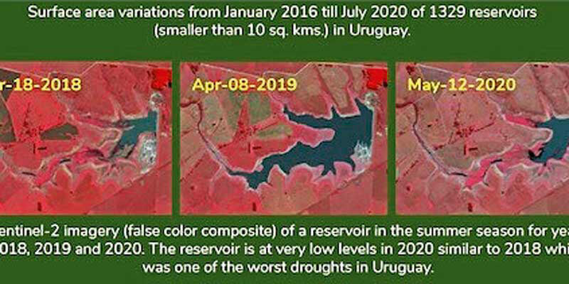
Satellites to help safeguard sustainability of palm oil, with launch of UK and Mexico project18th February 2021
The Italian company e-GEOS and the Argentinian company VENG have signed a strategic agreement for the world-wide distribution of satellite data from the SAOCOM constellation15th February 2021
First Airbus Eurostar Neo satellite is born15th February 2021
Biomass forest sensing satellite shaping up9th February 2021
Slovenia Releases Color Image from NEMO-HD Microsatellite Built by Space Flight Laboratory (SFL) in Collaboration with SPACE-SI5th February 2021
Astroscale U.S. Appoints Sandor Nemethy as Director, GEO Spacecraft Systems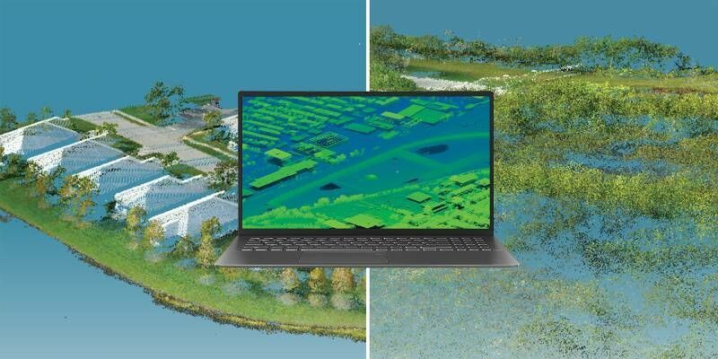

2nd February 2021
Ghana launches National Map of Forests and Land Use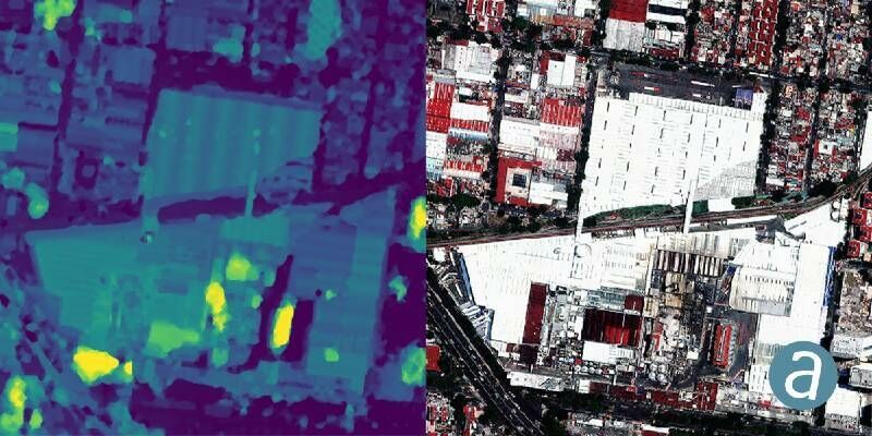
28th January 2021
SimActive Used to Determine Solar Potential from Satellite Imagery22nd January 2021
CGG Joins Mine Tailings Monitoring Research Project Led by Amira17th January 2021
CGG Satellite Mapping Completes Barents Sea Seeps Study for Norwegian Petroleum Directorate
14th January 2021
GAF AG and BKG intensify their cooperation regarding the provision of multi-source remote sensing data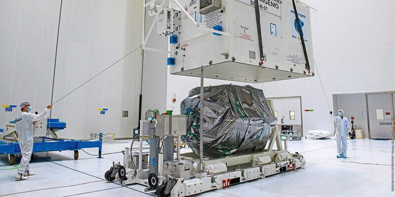
14th January 2021
Terra Cover Launches ReaLSAT as New Surface Water Monitoring Service
14th January 2021
East View Geospatial Partners with Capella Space as Early Reseller in North America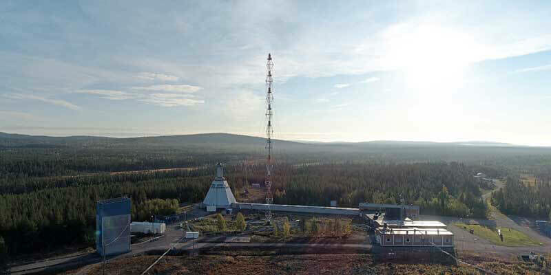
14th January 2021
Swedish Space Corporation to launch satellites from Esrange Space Center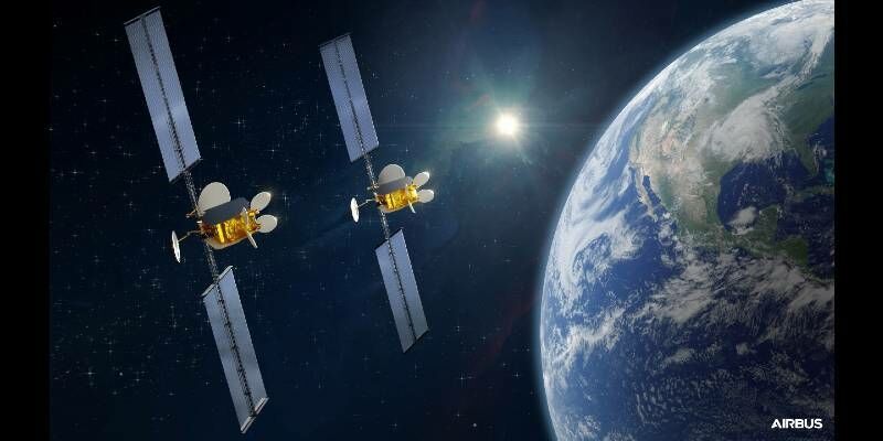
11th January 2021
Airbus signs multi-satellite contract with Intelsat for OneSat flexible satellites
7th January 2021
Telespazio and e-GEOS, in collaboration with National Geographic Italia, present the Love Planet Earth 2021 Calendar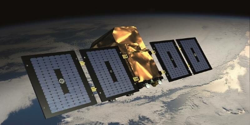
7th January 2021
Altius: a New Satellite « Made in Belgium » with SPACEBEL Software6th January 2021
Astroscale Ships ELSA-d Spacecraft to Launch Site6th January 2021
Airbus-built CSO-2 French military Earth observation satellite launched successfully4th January 2021
UP42 to Offer Smart Satellite Data from Australia’s LatConnect 60 on the UP42 Geospatial Marketplace14th December 2020
4EI Announces New UAE Managing Director, Allyson Jenkins10th December 2020
RS Fire 2020: RECORDINGS NOW AVAILABLE FROM THE REMOTE SENSING & WILDLAND FIRE SYMPOSIUM SERIES!10th December 2020
Recycle2Trade to develop new landfill methane emission monitoring intelligence platform6th December 2020
Airbus to deliver radar instrument for new Copernicus ROSE-L mission4th December 2020
Launch success for UAE’s FalconEye satellite1st December 2020
UP42 Hosts Webinar on Fusion of Satellite Imagery, AIS Data, Machine Learning for Maritime Surveillance22nd November 2020
Seeing the seas – “Sentinel-6 Michael Freilich” satellite successfully lifted off into space17th November 2020
Space Flight Laboratory (SFL) Awarded Contract by GHGSat Inc. to Build Three More Greenhouse Gas Monitoring Microsatellites16th November 2020
Airbus wins ESA’s LSTM temperature-check mission for Copernicus next generation12th November 2020
GAF AG and BKG intensify their cooperation regarding the provision of multi-source remote sensing data6th November 2020
Deepest Gratitude and Appreciation for the Invaluable Support Provided for the 10th IGRSM International Conference and Exhibition on Geospatial & Remote Sensing (IGRSM 2020)