e-GEOS, a company formed by Telespazio (80%) and the Italian Space Agency - ASI (20%), has signed a five-year Cooperation, Marketing and Distribution Agreement with VENG, an Argentinean company formed (97%) by the National Commission for Space Activities – CONAE, for the world-wide distribution of data acquired outside Europe by the constellation of SAOCOM satellites (Argentinean Satellite of Observation with Microwaves).
The SAOCOM constellation, composed of two identical satellites (SAOCOM 1A and 1B) and the COSMO-SkyMed constellation are part of the SIASGE, a joint project between CONAE and ASI.
VENG, as official distributor, appointed by CONAE, of products and data from the SAOCOM Argentine satellites, as part of its global distribution efforts and by this agreement, appoints e-GEOS as worldwide distributor, on exclusive basis in some countries.
The Agreement enriches e-GEOS’ portfolio with L-band SAR data, which will complement the information generated by the COSMO-SkyMed (CSK) and COSMO-SkyMed Second Generation (CSG) X-band SAR constellation, funded by the Italian Space Agency and the Italian Ministry of Defence.. Users will have access to more SAR data, suitable for a broader range of applications and providing better coverage.
With this alliance, the capacity to export high added-value Argentine technology gets increased, thanks to the substantial expansion of the world trading capacity of the SAOCOM Mission products, maximizing its social economic impact at a global level, and achieving an international position for VENG.
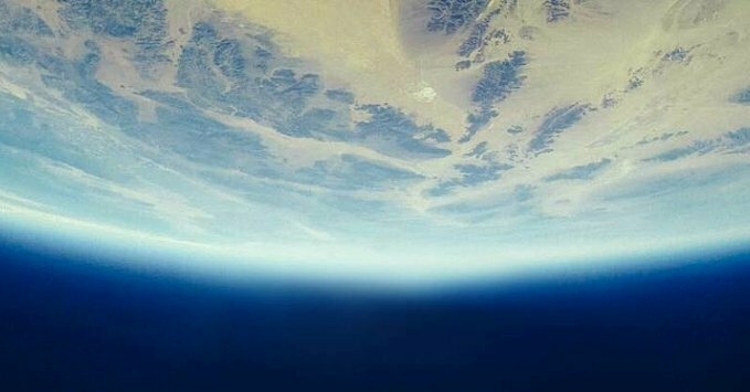
Thanks to the L-band SAR unique technology, the SAOCOM satellites is able to monitor the Earth day and night, regardless of weather conditions. It can penetrate the vegetation cover and the soil, collecting information for soil moisture, risk maps and interferometry products.
The processed data can be used to prevent and mitigate environmental and human events. Some examples are: soil drifts, soil moisture maps, oil and gas mining monitoring, flood and drought monitoring, glacier drifts, urban drinkable water leakage detection, oil spill and ship monitoring, and infrastructure studies, among others.
Subscribe to our newsletter
Stay updated on the latest technology, innovation product arrivals and exciting offers to your inbox.
Newsletter

