
Satellite Imaging
Don't miss a beat, sign up to our newsletter
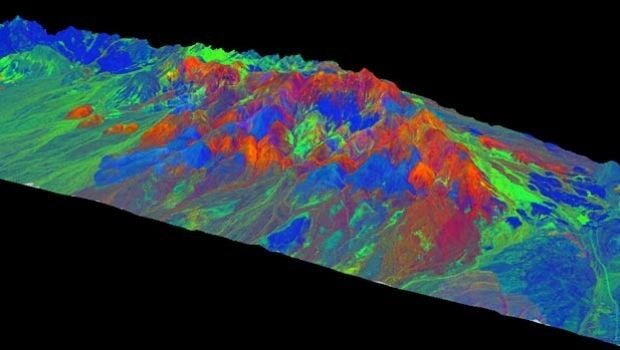
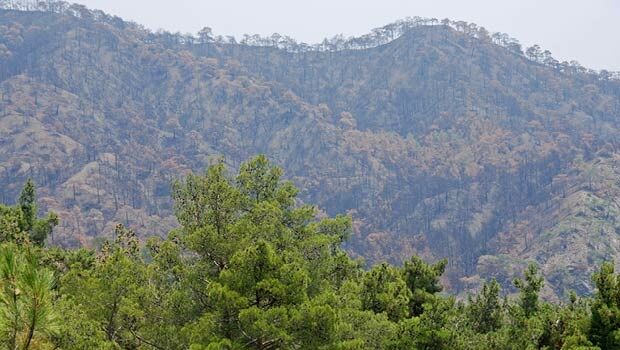
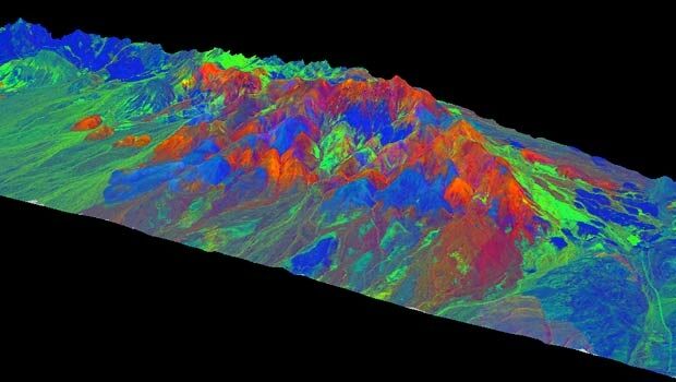
WorldView-3: setting new standards in Earth Observation
14th April 2015
WorldView-3: setting new standards in Earth Observation

WorldView-3: setting new standards in Earth Observation
23rd February 2015
WorldView-3: setting new standards in Earth Observation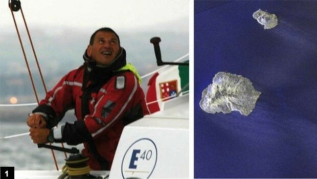
Satellites guide sailor from treacherous waters
2nd January 2015
Satellites guide sailor from treacherous waters
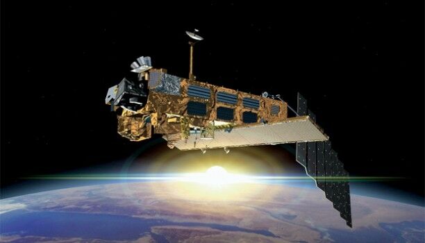
TanDEM-X satellite mission begins science phase
23rd October 2014
TanDEM-X satellite mission begins science phase
Cutting costs in aerial surveying by combining LiDAR and hyperspectral imaging
10th October 2014
Cutting costs in aerial surveying by combining LiDAR and hyperspectral imaging
Sentinel-1A adds yet another string to its bow
2nd September 2014
Sentinel-1A adds yet another string to its bow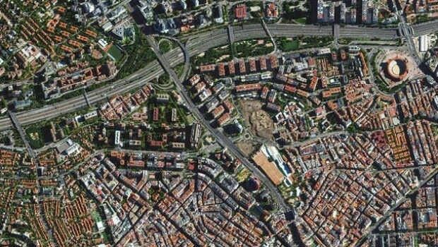
Trends in the Optical Commercial Remote Sensing Industry - Part 2
11th June 2014
Trends in the Optical Commercial Remote Sensing Industry - Part 2
Trends in the Optical Commercial Remote Sensing Industry - Part 1
11th June 2014
Trends in the Optical Commercial Remote Sensing Industry - Part 1
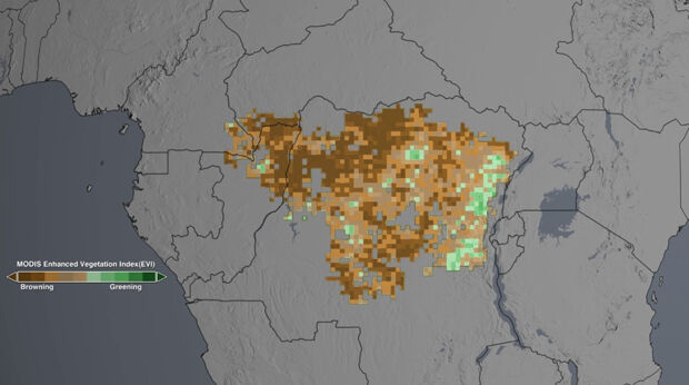
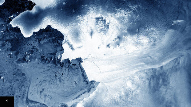
NASA satellites show drought may take toll on Congo rainforest
28th April 2014
NASA satellites show drought may take toll on Congo rainforest.jpg)
“Gravity”-style space debris threat from Envisat satellite explored in student paper
20th February 2014
“Gravity”-style space debris threat from Envisat satellite explored in student paper
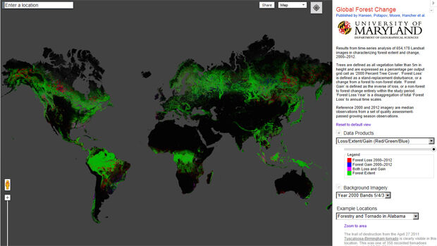
First local-to-global map of deforestation
29th December 2013
First local-to-global map of deforestation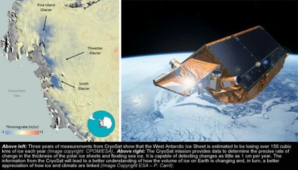
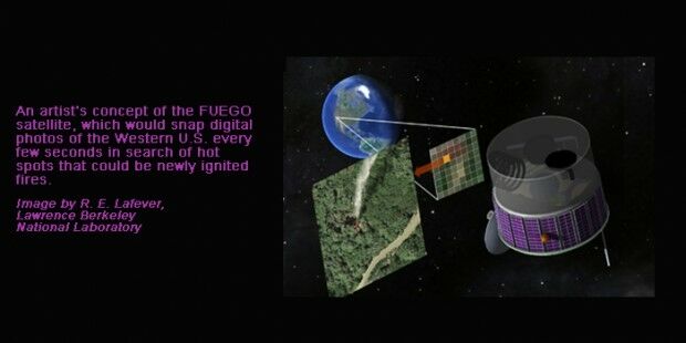
Time is ripe for fire detection satellite, say Berkeley scientists
23rd October 2013
Time is ripe for fire detection satellite, say Berkeley scientists
New initiative to support $40 billion smart cities in the UK
11th October 2013
New initiative to support $40 billion smart cities in the UK
Sandia probability maps help sniff out food contamination
13th June 2013
Sandia probability maps help sniff out food contamination
Satellite Communications: the future of incident reporting
13th June 2013
Satellite Communications: the future of incident reporting
Highlights from the European Space Solutions Conference
15th March 2013
Highlights from the European Space Solutions Conference
New webmap tool aids study of urban energy patterns
27th July 2012
New webmap tool aids study of urban energy patterns