Share
Are artificial intelligence and quantum computing forces for good or evil when applied to geospatial? Seppe Cassettari ponders the question.
Mapping and the broader geospatial revolution have been my passion for over forty years now. I was part of the early GIS revolution, which introduced profound change, and have witnessed many subsequent step changes driven by new and exciting technologies. Mainframes to PCs and into the cloud; GPS and survey Total Stations and now Lidar; from film-based to digital aerial imagery, satellite remote sensing and drones; data and more data and still more data.
But it is important to remember that the fundamentals have not changed. The underlying principles remain as consistent and important as they ever did.
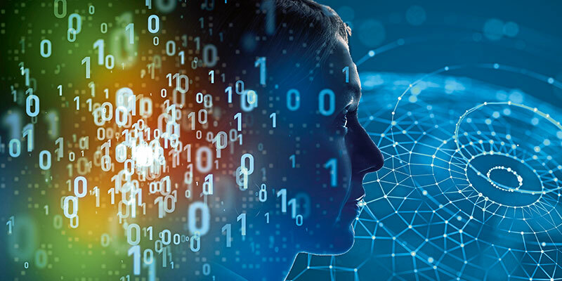
Today it seems the coming revolution is in quantum technologies and I’m wondering what the impact might be on the geospatial world and how we use mapping.
Looking for answers
I will acknowledge a lack of understanding about the subject, so I did a little digging. As always with a new technology, there are the champions and the naysayers. It will revolutionise everything, say the former, while the latter regard it as just another technological solution in search of a problem.
It is probably fair to say that I started with a mixture of excitement about the potential and a dose of scepticism about whether the proffered solutions would deliver the predicted benefits. As I dug deeper, both the excitement - and the scepticism - increased.
Without doubt, today’s computing revolution is on the scale of the move to the PC in the 1980s and is probably as profound in its impact as the start of the GIS era. I was fortunate enough to be in at the beginning of the GIS explosion and, like most people working in this area, could see the benefits. Yet I never anticipated how far it would all go. I suspect the same is true for quantum technologies.
We will, undoubtedly, be able to create, process and deploy more data than ever before; and we will be able to generate new and exciting information that helps resolve problems in a timelier fashion. We will be able to compare and contrast more effectively; identify causal relationships, and spot and rectify potential problems with greater speed.
But the world is a fiendishly complex place. Simply collecting more imagery, more frequently, or adding point clouds or more feature attributes, does nothing but add to the huge volumes of data we already have.
Seeing the wood for the trees
If the application of AI to geospatial problem- solving can do anything, it should be to help us see the wood for the trees. Just creating an answer does not mean it is the right one. Applying and implementing multiple solutions to find the answer will always have unforeseen consequences.
For us to make sense of the way AI is used we must enhance the way we think about issues of data quality, accuracy, currency and consistency. Without acknowledging the variability that exists between data sets and the impact on any analysis, AI could easily lead us to the wrong conclusion.
We must also be aware that geospatial data has the potential to provide a window into our personal lives. AI could open up that window further, inviting in not only forces for good, but also the more corrosive aspects of society.
While I can see the technology has the potential to really enhance the value of geospatial data, it could easily become a force that erodes some of the more cherished aspects of data quality and even our personal privacy.
Dr. Seppe Cassettari is a GIS professional, with more than 25 years’ experience in developing and applying geospatial technologies in the public, private and educational sectors. He was most recently CEO of The Geoinformation Group (now Verisk) in the UK.


