Share
Seppe Cassettari sounds a note of caution for those whose heads are spinning with the possibilities of applying Artificial Intelligence to geospatial data
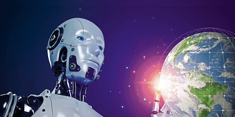
An article from the BBC News website entitled “AI: How ‘freaked out’ should we be?” reported on concerns raised at the South by Southwest Interactive Conference in Austin Texas this year. The gist of the piece was about the potential for both good and ill that could arise from the exponential growth of AI technologies. It set me wondering about the possible implications for spatial data and the whole geo-analytics revolution.
GIS was a game changing technology back in the day and it has transformed many aspects of our daily lives. We all see and use more maps today than ever before, from a vast array of on-line services through to our daily dose of situation maps from the war in Ukraine.
Ethical issues
But despite the technology being embedded in so many systems, we are still grappling with the difficult issue of ethics amongst those who create maps, both professional and casual. A meeting on the subject of Geo-Ethics was recently run by the International Map Industry Association (IMIA), reflecting a growing recognition that we need standards and guidelines in this area.
So, if we just throw open our doors to a technology as powerful as AI, what are we letting ourselves in for? What are the potential downsides? How do we address them BEFORE they become endemic problems?
I guess it is hard not to be excited by the possibilities of AI but we are right to be very wary about what may be done with the spatial data that we all rely on. In the BBC article I mentioned they quoted Austin Carson, the founder of SeedAI, a policy advisory group, who said “If in six months you are not freaked out (by AI), then I will buy you dinner.”
What are his concerns and how are they impacting on the geospatial community?
Tools for good – and bad
If the social media revolution has taught us anything, it is that for every good use of technology there will be a bad one. It may be to support criminal intent, drive extreme views or support state-sponsored aggression. AI will provide tools that will no doubt support the greater good but could also encourage the darker side which Amy Webb of the Future Today Institute says “could lead to less data privacy, more centralisation of power in a handful of companies and … stifle choice.”
Geospatial data promotes a particular agenda because maps generalise and classify the world. And the more we use analytics, the greater that level of interpretation. Analytics based on location have the potential to be very powerful influencers, and if placed in the wrong hands, not necessarily for good.
Attending the Defence Geospatial Intelligence event in London in January showed just how far we have come. The volume of data collected and the power to analyse and visualise it is literally mind boggling. But it is also potentially terrifying.
I suggest we need to have the geospatial equivalent of food labelling attached to all geospatial data, so we better understand where it comes from and how it was created. Governments must act to ensure that the use of AI-enabled geospatial solutions are regulated to maintain confidence in the maps we use.
Dr. Seppe Cassettari is a GIS professional, with more than 25 years’ experience in developing and applying geospatial technologies in the public, private and educational sectors. He was most recently CEO of The Geoinformation Group (now Verisk) in the UK.


