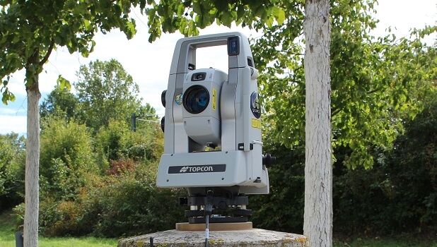
Topcon introduces new technology advancements in inspection and monitoring
19th September 2019
Topcon introduces new technology advancements in inspection and monitoring
19th September 2019
Topcon introduces new technology advancements in inspection and monitoring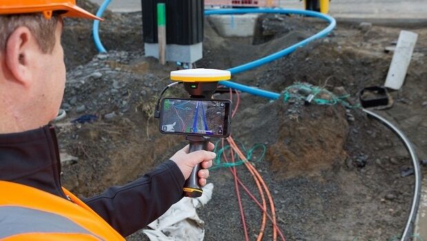
17th September 2019
Trimble SiteVision Takes Data Visualization Outdoors16th September 2019
Orbit GT launches Marketplace for 3D Mapping Content at INTERGEO, Stuttgart
30th August 2019
Sourcing, Storing and Analysing Imagery in the Digital Era
20th August 2019
RIEGL’S JAMES VAN RENS ATTENDS MEETING OF THE UN GLOBAL GEOGRAPHIC INFORMATION MANAGEMENT25th July 2019
SoundHound Inc. Integrates HERE Mapping and Location Data i
25th July 2019
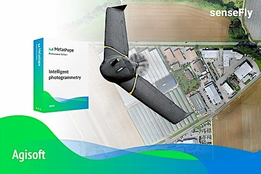
Introducing the senseFly eBee X with Agisoft Metashape
25th July 2019
Visiontrack recuits European Sales Director
24th July 2019
Yanmar Demonstrates Autonomous Tractors Using Precision Positioning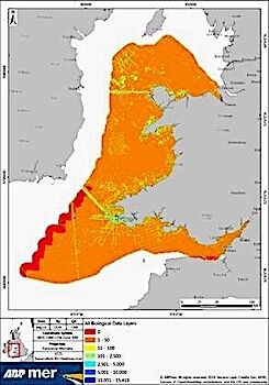
24th July 2019
ABPmer to deliver Sustainable Management of Marine Natural Resources
23rd July 2019
Terra Drone Brazil complete Brazil’s first FPSO tank inspection
23rd July 2019
QuickSwitch® Recognised for Excellence in Sensors Innovation21st July 2019
Surveying Firm Highly Commended at Prestigious National Construction Awards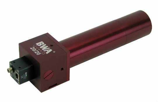
19th July 2019
BWA-CAM 20/20 - The World‘s First ‘Plug-and-Play‘ Solution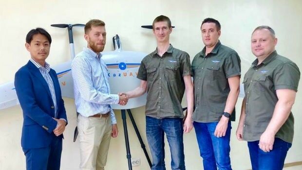
19th July 2019
Japan’s Terra Drone gains footing in Central Asia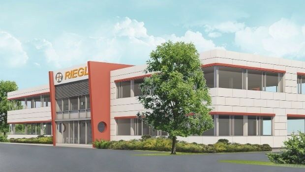
15th July 2019
RIEGL Invests in New Office and Production Facilities!
13th July 2019
GSSI Receives Presidential Award for Exports
12th July 2019
Fugro performs first North Sea remote heading control operation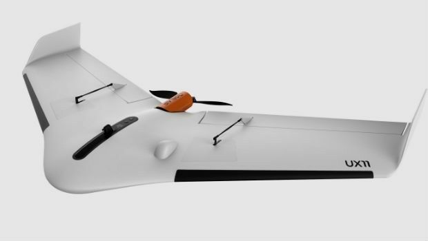
12th July 2019
high performance UX11 & UX11 Ag surveying and mapping drones1.jpg)
11th July 2019
Ecometrica Manager wins BusinessGreen Leaders Award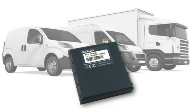
11th July 2019
ATrack Announces Launch of New AK7V Device
11th July 2019
Fugro succeeds with new seep survey license sales offshore Newfoundland11th July 2019
Save the Date ! Webinar July 18 at 6 PM CET

11th July 2019
CTRACK HELPS PROTECT NORFOLK’S OLDEST WORKING MOTOR CAR
11th July 2019
CTRACK HELPS PROTECT NORFOLK’S OLDEST WORKING MOTOR CAR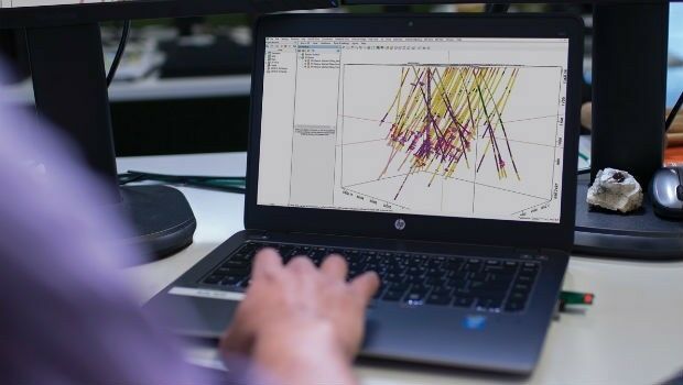
11th July 2019
Seequent continues investment in innovative geoscience technology
10th July 2019
Trimble announces new usage-based plans for Trimble Catalyst
10th July 2019
Cesium launches with $5 million investment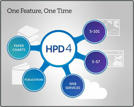
9th July 2019
New CARIS HPD 4.0 release will advance existing capabilities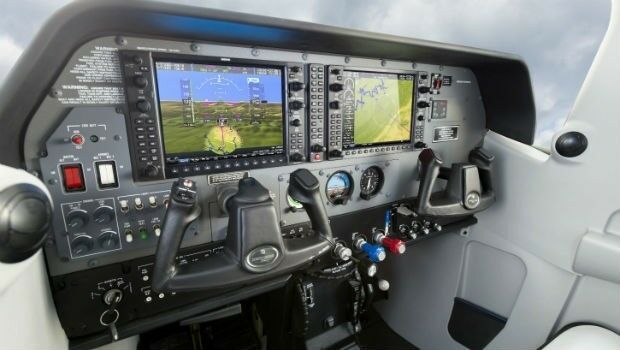
-Airbus-2019.jpg)
8th July 2019
Airbus to develop CO3D Earth Observation programme for CNES
8th July 2019
Virtual Surveyor Enhances LiDAR Point Cloud Handling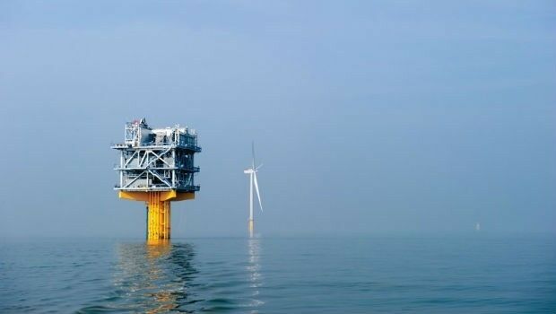
8th July 2019
Fugro and SLPE to present case study at Offshore Foundations Conference, Bremen5th July 2019
Telangana seeks to become first ‘BVLOS Compliant’ state in India5th July 2019
Telangana seeks to become first ‘BVLOS Compliant’ state in India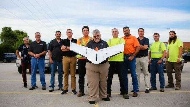
5th July 2019
Weaver Consulting adopts Delair UX11 UAV for large scale surveying, mapping

1st July 2019
Viametris is launching the second-generation version of the vMS301st July 2019
Calculating Sand Bulk Volume of Sand Barge using LiDAR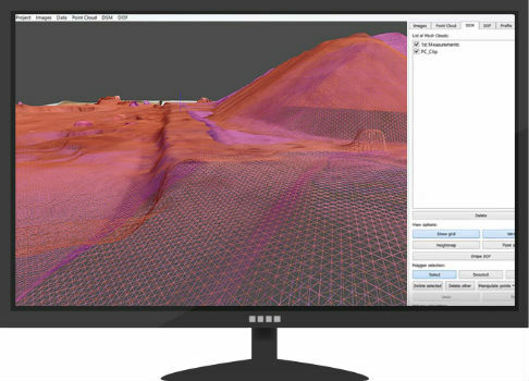
26th June 2019
drone analytics with Terra Mapper data processing software26th June 2019
Airbus strengthens its imagery capabilities with Vision-14th June 2019
SimActive Releases Version 8.2 for Processing of Multispectral Imagery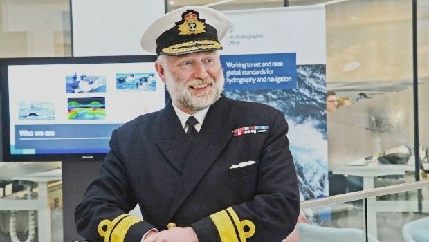
31st May 2019
UK Hydrographic Office appoints Chief Executive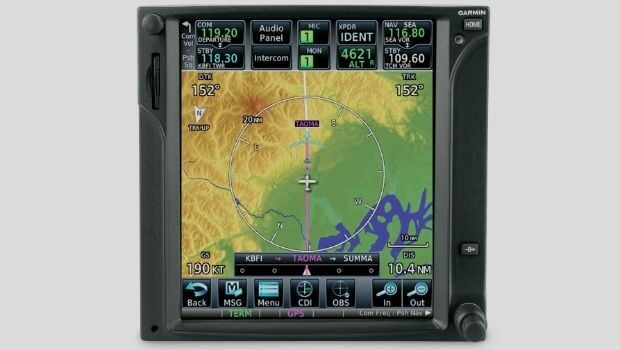
31st May 2019
Garmin adds latest FIS-B weather products to the GTN 650/750 series