
[EARSC] Survey into Public Service Bodies using EO data and services
12th April 2016
[EARSC] Survey into Public Service Bodies using EO data and services12th April 2016
[EARSC] Survey into Public Service Bodies using EO data and services12th April 2016
Topcon announces monitoring partnership with VMT GmbH
12th April 2016
Leica Geosystems partners with DotProduct LLC, SpheronVR AG12th April 2016
MICROMINE 2016 to be launched in May with new and exciting features
11th April 2016
Maryland SHA using broadcast quality camera in Furgo vehicle11th April 2016
Topcon introduces next generation machine control

8th April 2016
The Most Rugged Windows Tablet in the World is Now Shipping8th April 2016
KilletSoft realizes Polygonal Validity Scopes in NTv2 grid files
7th April 2016
AKW Global Logistics teams up with Intelligent Telematics
7th April 2016
Leica Geosystems smart antenna provides superior performance
6th April 2016
Seafloor Delivers Autonomous Multibeam Survey System To Skanska
6th April 2016
Trimble Launches New Version of its Smart Water Management Software
6th April 2016
Caliper Offers 2016 Census Block Groups Data6th April 2016
IDV Solutions launches Visual Command Center 5.0
6th April 2016
ABPmer reviews fishing impact on seabird MPA features6th April 2016
GeoSpatial Experts Announces Reseller Agreement with WTH Technology
4th April 2016
Fugro Completes Offshore Works For EOWDC At Aberdeen Bay
4th April 2016
Elbit Systems’ Subsidiary, Awarded CYBERBIT™ Contracts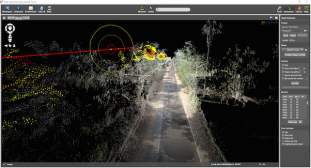
4th April 2016
Orbit GT launches Mobile Mapping Feature Extraction Bundle1st April 2016
Cheshire East Highways Implements Yotta’s Horizons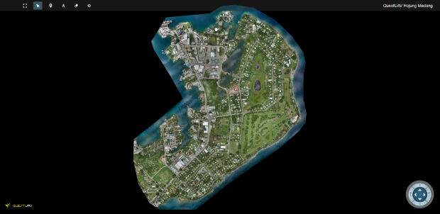
1st April 2016
QuestUAV's South Korean Partner maps Madang, Papua New Guinea
31st March 2016
Policy reflection paper on civil drones and regulations in EU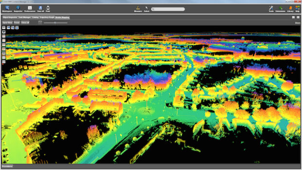
31st March 2016
Orbit GT releases update for essential Mobile Mapping Content Manager
30th March 2016
New Leica Geosystems reference servers and monitoring receiver
30th March 2016
Intergraph Utility Network Model extended across the Enterprise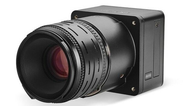
30th March 2016
Direct Georeferencing with Phase One iXU 150 Camera and POS AVX 210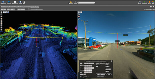

30th March 2016
Free Report: UAVs in Precision Agriculture30th March 2016
Trimble Launches FieldPoint RTX Correction Service29th March 2016
Commercial UAV Expo Issues Free Report: Surveying and Mapping with UAVs29th March 2016
DMT successfully completes exploration seismic project in Munich
29th March 2016
SkyTraq Launches Low-Cost Feature-Rich RTK Receiver
28th March 2016
Autostrade Italy and Fugro Celebrate a 30-year Partnership
25th March 2016
GeoSmart Trials a Pilot Groundwater Data Service24th March 2016
Trimble Seismic Navigation Systems for Geophysical Exploration23rd March 2016
Strong Support for Commercial UAV Expo 2016
23rd March 2016
Launch Of Utility Training Academy For Unmanned Aerial Systems23rd March 2016
Topcon GNSS receivers chosen for large-scale Finland national network22nd March 2016
Learn to Use Multidimensional Scientific Data with ArcGIS Technology
22nd March 2016
FOCUS 35 Shines in Nighttime Topographic Survey
22nd March 2016
Ground-breaking ceremony at Airborne Technologies
22nd March 2016
Airbus D&S instruments for James Webb Space Telescope get thumbs-up22nd March 2016
GeoFIT Americas Adopts SimActive’s Correlator3D™ for UAVs22nd March 2016
EARSC is now a GEO Participating Organization!