Learn More About Maptitude for Redistricting at the NCSL
31st May 2019
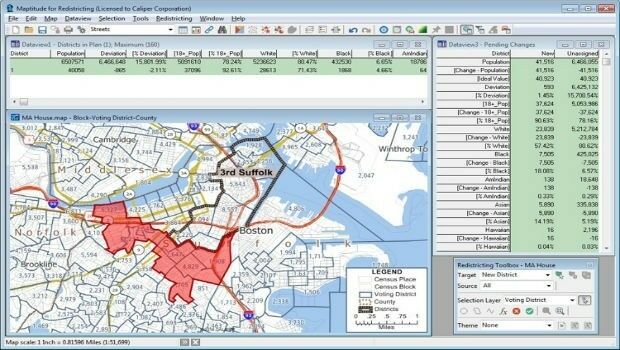
Learn More About Maptitude for Redistricting at the NCSL
31st May 2019
Learn More About Maptitude for Redistricting at the NCSL
30th May 2019
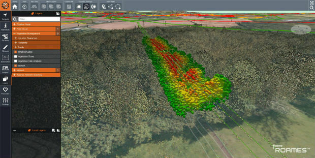
Ancient Landforms of the Australian Rainforest Revealed by Airborne LiDAR
30th May 2019
Speedy asset services extends Visiontrack video telematics solution30th May 2019
New Globalstar Satellite IoT Solution Safeguarding Reindeer in Nordics
30th May 2019
Airbus wins three satellite deal from Inmarsat for revolutionary spacecraft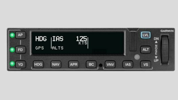
30th May 2019
Garmin receives approval for the GFC 600 autopilot in the Cessna 208/208B
29th May 2019
Exclusive autonomous driving demo at TU-Automotive in Detroit
29th May 2019
HERE Technologies Joins the MuleSoft Technology Partner Program
29th May 2019
Nortek opens Australian office to build on regional demand
29th May 2019
Leica Geosystems opens nominations for Carl Pulfrich Award 2019
28th May 2019
New Production Facility for Detectors in the USA
28th May 2019
Sercel Delivers Five 508XT Acquisition Systems to ONGC in India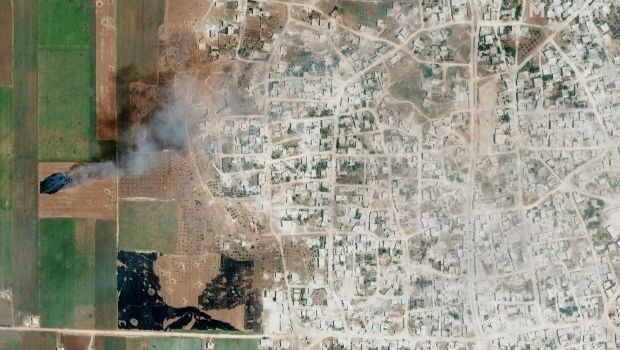
28th May 2019
Satellite Imagery: Syrian Government Offensive in Idlib Province, Syria28th May 2019
HERE Technologies joins the Uptane Alliance28th May 2019
Parrot drones selected by U.S. Department of Defense
28th May 2019
Ecometrica Uses Drones to Map Vegetation in Scottish Forests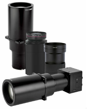
28th May 2019
Phase One Industrial Introduces Three High Performance Lenses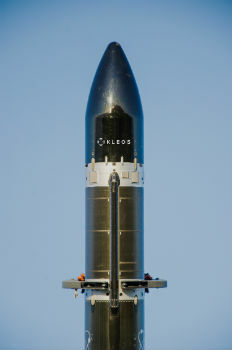
27th May 2019
Kleos Satellites Launch Window Confirmed – August Lift-off
23rd May 2019
Likely Russian Bombers Intercepted Near Alaska23rd May 2019
u-blox announces Markus Schaefer as new Executive Director
23rd May 2019
Topcon announces advanced Bentley integration

22nd May 2019
Leica BLK360 software integration announcement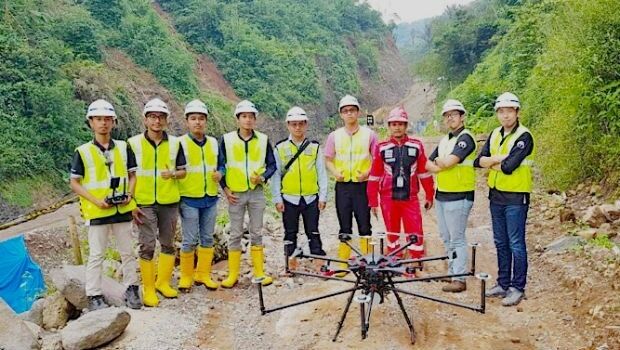
22nd May 2019
Terra Drone Indonesia shows construction companies benefits
22nd May 2019
Mapillary announces the world's first demand-driven marketplace for map data
21st May 2019
Trimble Releases Next-Generation Integrated Smartphone and GIS Data Collector

21st May 2019
public comment on major revision to OGC Abstract SpecificationTopic 021st May 2019
Space Flight Laboratory to Highlight ‘Gray Jay’
21st May 2019
New Open Payload version of Delair DT26 UAV allows custom configuration_enabling_tru.jpg)
21st May 2019
Introducing Multipurpose Autonomous sub-surface Training Target21st May 2019
Airbus signs MOU with Hellenic Space Agency for future space cooperation
21st May 2019
Gaist’s mapping solution could boost efficiency for utilities market
21st May 2019
Sonardyne acquires maritime survey software and construction specialist EIVA20th May 2019
Hemisphere GNSS Announces All-New OEM Positioning & Heading Boards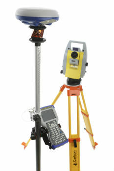
20th May 2019
Carlson NR3: New compact, lightweight GNSS Receiver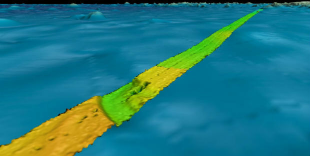
20th May 2019
Fugro supports two ocean mapping initiatives20th May 2019
Topcon accepts John Deere Supplier Innovation Award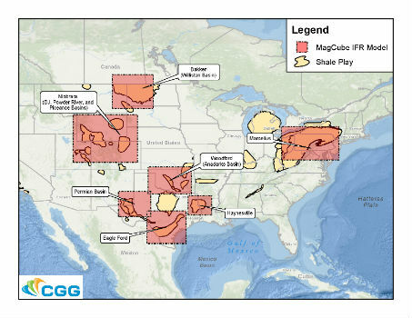

20th May 2019
Spectra Group to exhibit at the SOFIC exhibition in Tampa Florida.
20th May 2019
ERM Advanced Telematics Enters the Rapidly Expanding Electric Vehicle Market
17th May 2019
Western Distribution selects Fugro to unlock value from airborne survey data
16th May 2019
SITECO's System for the Emilia Romagna Railways Inspection16th May 2019
Elsevier supports the American Association of Petroleum Geologists’