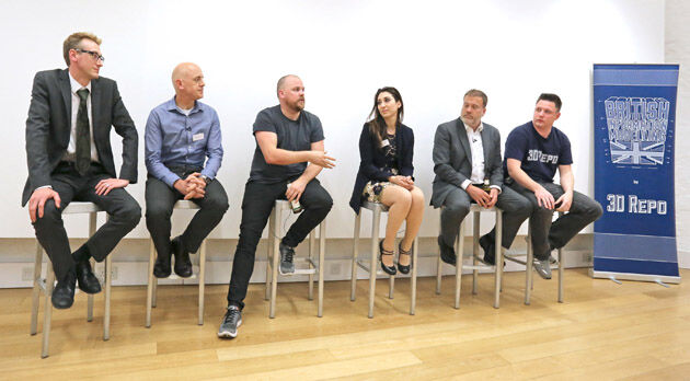
Third British Information Modelling Event Wins Praise from Delegates
18th May 2017
Third British Information Modelling Event Wins Praise from DelegatesThe compilation, reproduction and dissemination of maps and charts by means of manual (analogue) or digital techniques, tools and workflows. This topic covers the compilation, reproduction, dissemination and use of both analogue (paper) and digital maps, charts and atlases. As well as the science of cartography, including georeferencing and geocoding, digital techniques for compiling and generating various types of raster and vector maps and charts are covered, as are the digital mapping tools and Geographic Information Systems available for this purpose. The application of cartography for aeronautical, terrestrial and marine purposes is also covered
18th May 2017
Third British Information Modelling Event Wins Praise from Delegates17th May 2017
Aeromapper Talon Surveys A Whole Maldives Island In A Single Flight17th May 2017
Eni to utilize Earth Observation satellite data and services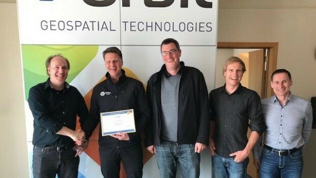
17th May 2017
Orbit GT and Vexcel Imaging, Austria update Gold Reseller status17th May 2017
Space Flight Laboratory (SFL) Signs Contract with Dubai Space Centre17th May 2017
Commercial UAV Expo Europe announces drone conference programme
17th May 2017
Further Democratize GeoData and GeoServices Use for R&D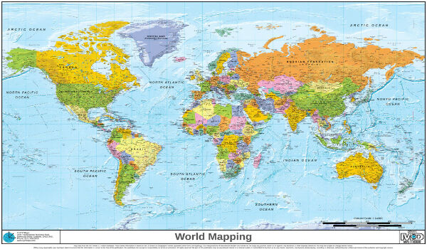
17th May 2017
Novacavi’s Custom Cables For Reliable Subsea Monitoring17th May 2017
Thomas Pesquet's return to Earth after 6 months in space16th May 2017
EUMETSAT to host information day on crucial data access procurement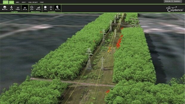
16th May 2017
NM Group assist Hydro One to develop LiDAR strate16th May 2017
Rwanda Government pioneers Smart City Innovation with SRG and Nokia
16th May 2017
Orbit GT and TPI, Poland update Gold Reseller status15th May 2017
New satellite hub lays groundwork for the future
15th May 2017
Icaros Releases Ver 5.0 of OneButton™ Drone Image Processing Software
15th May 2017
GEO Business previews its exhibitor show highlights for 201715th May 2017
Responding to Emerging Environmental Threats
15th May 2017
1Spatial releases dates for exciting FME World Tour, courses, webinars15th May 2017
AeroScientific Picture of the Month May 201715th May 2017
IRS data now available free of charge to scientific users13th May 2017
Maxoptra Route Planning delivers outstanding Q1 results12th May 2017
Mobile Friendly Version of the GeoCalc Geodetic Registry Released12th May 2017
GIS in Transit Conference Program Details Published12th May 2017
LuxCarta Joins European Training & Simulation Association12th May 2017
Toronto selects HERE for smart city and traffic mitigation initiative12th May 2017
HGV Regulations Costing Logistics Sector Tens Of Millions11th May 2017
30 Years of Success Leads DAT/EM to Virtual Reality and UAS11th May 2017
TDI-Brooks International To Perform Site Surveys11th May 2017
NCTech partners with Google to pilot new 360-degree Street View camera11th May 2017
PTV Group with Karlsruhe TechnologyRegion at UITP Summit in Montreal11th May 2017
3G Vehicle Camera Footage Protects False Insurance Claims11th May 2017
Inmarsat and Actility deploy city-wide Internet of Things network11th May 2017
Tieto to develop IT systems and smart traffic services11th May 2017
Global software release from experienced solutions developer Maptek10th May 2017
Leica Ready now offered on Liebherr dozers, excavators10th May 2017
Hemisphere GNSS Announces H328 OEM Positioning and Heading Board
10th May 2017
Orbit GT and Gexcel, Italy, sign Reseller Agreement
10th May 2017
Imajing provides ESRI users with online 3D enabled images
10th May 2017
Duke of Edinburgh's Award Entrusts SPOT and Mapyx