Valtellina Reduces Communications Network Data Production Time
2nd May 2017
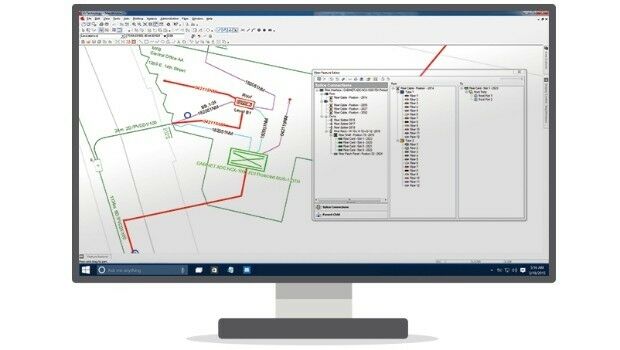
Valtellina Reduces Communications Network Data Production TimeThe compilation, reproduction and dissemination of maps and charts by means of manual (analogue) or digital techniques, tools and workflows. This topic covers the compilation, reproduction, dissemination and use of both analogue (paper) and digital maps, charts and atlases. As well as the science of cartography, including georeferencing and geocoding, digital techniques for compiling and generating various types of raster and vector maps and charts are covered, as are the digital mapping tools and Geographic Information Systems available for this purpose. The application of cartography for aeronautical, terrestrial and marine purposes is also covered
2nd May 2017
Valtellina Reduces Communications Network Data Production Time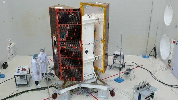
2nd May 2017
Kepler Award Nominations Now Being Accepted by ION Satellite Division
2nd May 2017
Satellite Fleet Owner Joins The Geological Remote Sensing Group
1st May 2017
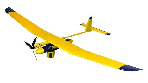
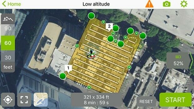
Elbit Systems of America Presents UAS Capabilities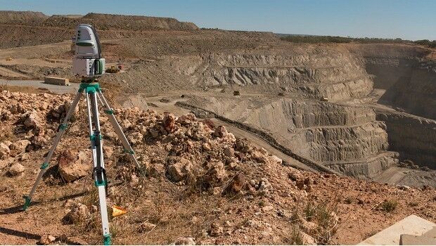
1st May 2017
Maptek advanced modelling and analysis solutions showcased at CIM
29th April 2017
RedZone MapT Hits #3 in First Week in London
28th April 2017
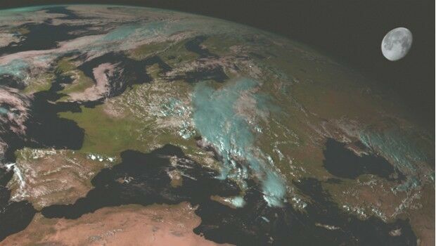
Scientists look to the Moon to better understand Earth’s climate28th April 2017
JOIN THE LEICA iCON BUILD WEBINAR ON 4 MAY
28th April 2017
Creaform HandySCAN 3D scanner now certified by Airbus
28th April 2017
More efficient construction management with Pix4Dbim
28th April 2017
Juniper Systems Limited Welcomes Brian Smyth
28th April 2017
Sessions & speakers announced. Knowledge gap solved.
27th April 2017
HERE extends partnership with Toyota in North America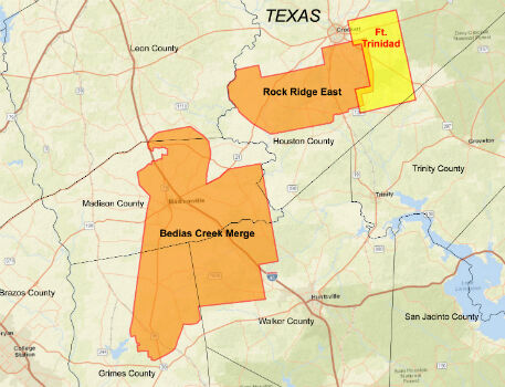
27th April 2017
CGG Delivers Reservoir-Oriented Data for Fort Trinidad in East Texas
27th April 2017
CartoPac Unveils Barcode Scanner for Gas Utility Pipeline Mapping27th April 2017
GAF and partners awarded contract to map European riparian zones
27th April 2017
Digpro strengthens the management team with new skills
27th April 2017
Speaker Line-up Announced for Third British Information Modelling Event
27th April 2017
Esri's Dr. Dawn Wright to Discuss Mapping the Ocean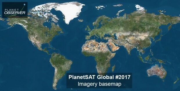
27th April 2017
PlanetObserver announces release of PlanetSAT Global imagery basemap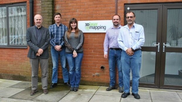
27th April 2017
3D Laser Mapping Mines Good Fortunes in Africa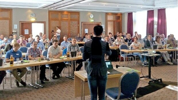
26th April 2017
Invitations to annual technical and user conference in Essen, extended26th April 2017
Garmin® upgrade program for Sikorsky and Black Hawk helicopters26th April 2017
Maptitude Mapping Software Team Provides Awards & Prizes26th April 2017
Esri to Showcase Advanced Developer Tools at TechCrunch Disrupt NY
26th April 2017
Telogis launches Spotlight to improve vehicle health, driver behaviour
25th April 2017
Airware and senseFly Sign Global Partnership Agreement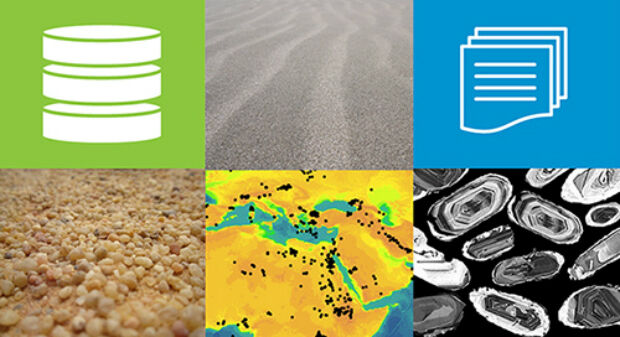

25th April 2017
10 years of providing expertise throughout the UK by thinkWhere25th April 2017
Fugro Focuses On Technology For Offshore Operations
25th April 2017
NAUTIZ X2 All-In-One Rugged Android Handheld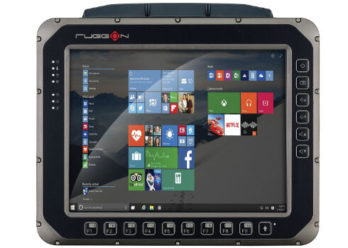
25th April 2017
RuggON Announces the VX-601, the Rugged In-vehicle Terminal25th April 2017
RENEXPO® Water and Energy starts on Tuesday, April 25
24th April 2017
East View Geospatial Announces Training Data Library
24th April 2017
GEO Business 2017 Unmissable Conference Line Up24th April 2017
Call for Proposals for GSDI Small Grants Program closes 31 May!24th April 2017
Reminder for the Open Data Questionnaire by 30 April please!24th April 2017
New release of global data suite from Europa Technologies