AAM to License Pointerra Technology for 3D Data
19th June 2017
AAM to License Pointerra Technology for 3D DataThe compilation, reproduction and dissemination of maps and charts by means of manual (analogue) or digital techniques, tools and workflows. This topic covers the compilation, reproduction, dissemination and use of both analogue (paper) and digital maps, charts and atlases. As well as the science of cartography, including georeferencing and geocoding, digital techniques for compiling and generating various types of raster and vector maps and charts are covered, as are the digital mapping tools and Geographic Information Systems available for this purpose. The application of cartography for aeronautical, terrestrial and marine purposes is also covered
19th June 2017
AAM to License Pointerra Technology for 3D Data16th June 2017
Orbit GT releases UAS Mapping v17.1 with Cloud Upload feature16th June 2017
Leica Geosystems’ GNSS networks now support Galileo, QZSS16th June 2017
Are traditional outdoor activities becoming a thing of the past?16th June 2017
Trimble Adds Galileo Support to its VRS Now Correction Service16th June 2017
Surveyors Provided with a Powerful Multi-application GNSS Solution16th June 2017
Hexagon Safety & Infrastructure Selects Microsoft Azure15th June 2017
Role Of Site Characterisation In Project Risk Management15th June 2017
Infrared detector in 15-micron pitch for space observation programs15th June 2017
Leica Cyclone REGISTER 360 laser scanning software
15th June 2017
SuperPad 10- Heading to the Era of Cloud Tech15th June 2017
Greencore Adopts 3g Camera Solution To Target Road Safety Improvements
15th June 2017
Uttar Pradesh Police Receives Award for UP 100
15th June 2017
Innovation Award from Hexagon Safety & Infrastructure for Bayernwerk15th June 2017
Septentrio Delivers Greater performance, security and functionality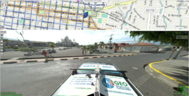
14th June 2017
Orbit GT and Geotecnologias, Costa Rica, sign Reseller Agreement
14th June 2017
Integrated approach accelerates understanding of petroleum systems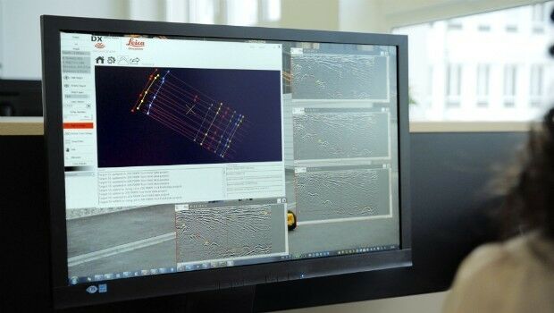
14th June 2017
Utility post processing software delivers CAD drawings in less time14th June 2017
Publication Explores How Location Technology Drives Business Growth14th June 2017
10 years of precision and reliability of TerraSAR-X satellite14th June 2017
Latest 3D Modeling Technologies at Goodwood Festival of Speed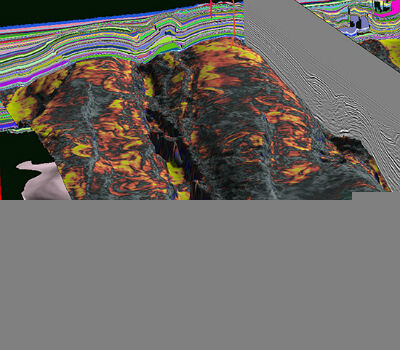
14th June 2017
CGG Launches JumpStart Regional Geoscience Programs14th June 2017
Blue Marble LiDAR Workshop at the Esri UC in San Diego13th June 2017
Hexagon launches HxGN Mine VIS, a vehicle intervention system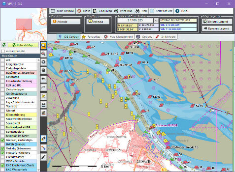
13th June 2017
Computer Aided Marine Contingency Planning System Developed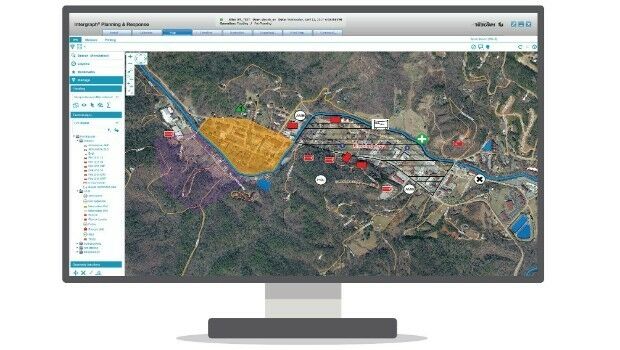
13th June 2017
Hexagon Safety & Infrastructure Incident Command System Application13th June 2017
Korea Meteorological Administration hosts 45th CGMS meeting13th June 2017
Leica Geosystems introduces imagery, live video stream to monitoring13th June 2017
Election Result could delay major UK infrastructure projects13th June 2017
European retail: Central and Eastern Europe gain-ing ground13th June 2017
Pan-Europe commercial drone event starts next Tuesday. Don’t miss!
13th June 2017
Sercel Improves Versatility of 508XT Land Acquisition System13th June 2017
This year’s GI_Forum will open its doors again for the 11th time.13th June 2017
PCI Geomatics Delivers GXL System to L3 Link Simulation & Training
12th June 2017
NextGen 9-1-1 and Emergency Preparedness Content at GIS-Pro 2017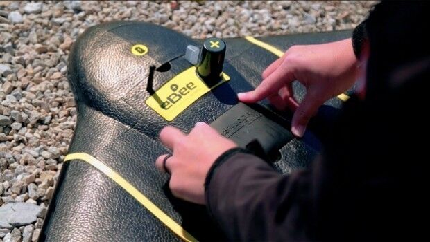
12th June 2017
senseFly to showcase drone innovations at INTERGEO 201712th June 2017
Drone Hero Finalists to Battle it Out in Brussels!12th June 2017
World’s biggest container ship eases into Felixstowe12th June 2017
Pan-European crisis and disaster management research EPISECC12th June 2017
Diamond Aircraft and PIDSO develop an all-new antenna solution9th June 2017
Recycling Issues Remain Unresolved after One Week9th June 2017
Martek appoint leading UAS “Subject Matter Expert” as Technical Manager9th June 2017
Copernicus Marine Hackathon Coding Event @EUMETSAT