UK Regulator, Oil & Gas Authority Awards Contract to CGG GeoConsulting
31st May 2017
UK Regulator, Oil & Gas Authority Awards Contract to CGG GeoConsultingThe compilation, reproduction and dissemination of maps and charts by means of manual (analogue) or digital techniques, tools and workflows. This topic covers the compilation, reproduction, dissemination and use of both analogue (paper) and digital maps, charts and atlases. As well as the science of cartography, including georeferencing and geocoding, digital techniques for compiling and generating various types of raster and vector maps and charts are covered, as are the digital mapping tools and Geographic Information Systems available for this purpose. The application of cartography for aeronautical, terrestrial and marine purposes is also covered
31st May 2017
UK Regulator, Oil & Gas Authority Awards Contract to CGG GeoConsulting31st May 2017
Informed Solutions retain place on Government G-Cloud 9 framework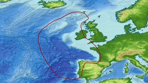
31st May 2017
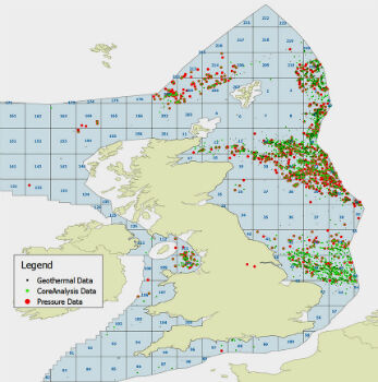
Getech Brings Greater Insight to Both Sides of the North Atlantic31st May 2017
SpaceKnow with access to “One Atlas” for development of new analytics31st May 2017
Logan, Utah, Recognized for Efficiency and Dedication31st May 2017
Discover the Secret to Reshaping a City’s Skyline31st May 2017
IRS data now available free of charge to scientific users
31st May 2017
WorldView-4 satellite imagery in 30cm resolution
31st May 2017
Road Safety is as Important as Track Safety31st May 2017
exactEarth Launches Global Real-Time Vessel Tracking Service
31st May 2017
3D Repo Launch BIM Platform with Integrated VR at National Infrastructure Forum30th May 2017
Airbus Defence and Space launches “Global Earth Observation Challenge”30th May 2017
Plans For Europe’s First Commercial Video Satellite Constellation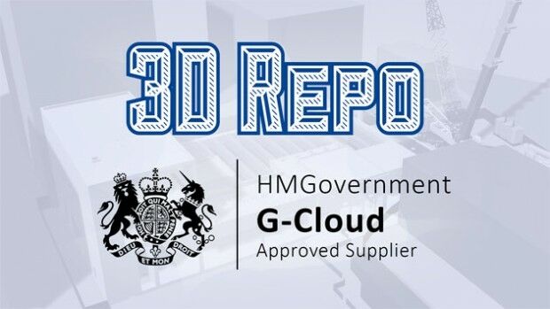
30th May 2017
3D Repo Joins UK Government’s G-Cloud Digital Marketplace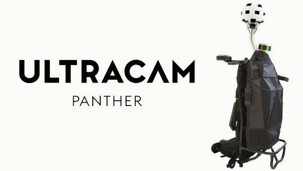
30th May 2017
Portable UltraCam Panther Offers High-Quality Imagery, Video and LiDAR.jpg)
30th May 2017
Orbit GT and x-Spatial, USA, sign Reseller Agreement.jpg)
27th May 2017
National Flood Forecasting and Warning System for Malaysian rivers.jpg)
27th May 2017
Topcon Brings Future of Surveying to Geo Business 201726th May 2017
Airbus and Scanex to feed Russia’s most popular search engine Yandex
26th May 2017
The Geological Remote Sensing Group Makes 2017 Student Awards.jpg)
26th May 2017
New Sustainable Smart Cities Hub for Market Insights & Opportunity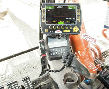
25th May 2017
Leica iCON excavate systems now support SVAB MACS control system.jpg)
24th May 2017
Airbus further extends channel partner programme24th May 2017
Gartner Supply Chain Executive Conference 201724th May 2017
Gartner Supply Chain Executive Conference 2017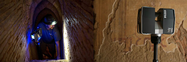
23rd May 2017
CyArk and FARO partner to save heritage in 3D22nd May 2017
HERE shines in Ovum Location Platform Index
19th May 2017
PDF3D Release 3D PDF Conversion Plugin for ParaView 5.3 Users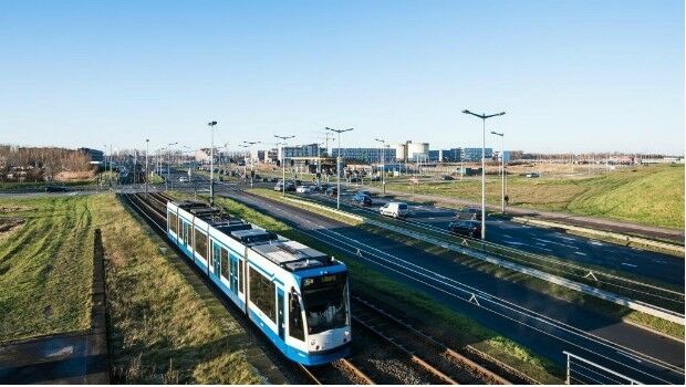
19th May 2017
Consultancy Supports Large Scale Developments In Amsterdam
19th May 2017
Cityworks and SeeClickFix Help Westland, MI Connect with Citizens
18th May 2017
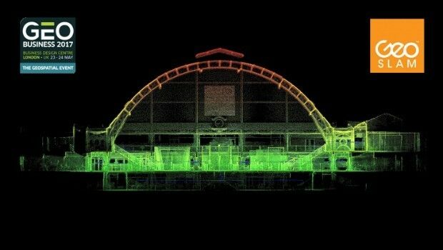
GeoSLAM Expands Far East Operations With New Distributors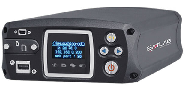
18th May 2017
Satlab announces SLX-1 Multi-application Receiver Mobile Upgrade![Drones are here to stay. [Get up to speed 20-22 June, Brussels.] (from import)](https://static.geoconnexion.com/uploads/images/_AUTOxAUTO_fit_center-center_80_none/import-temp_file_UAV_Brussells_Banner1.jpg)
18th May 2017
Drones are here to stay. [Get up to speed 20-22 June, Brussels.]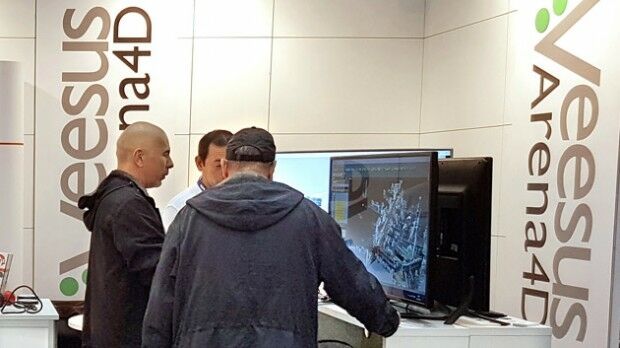
18th May 2017
Pointfuse Point Cloud Conversion in Arena4D at GEO Business 2017
18th May 2017
GEO Business previews its exhibitor show highlights for 2017
18th May 2017
Opel / Vauxhall and Masternaut announce exclusive partnership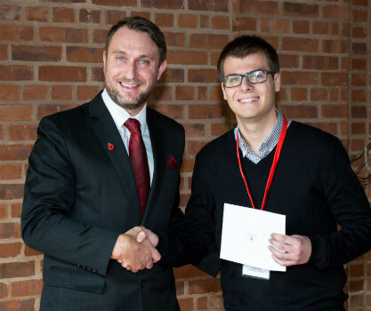
18th May 2017
Survey Association Bursary builds bright future for Geomatics students18th May 2017
Esri Brings The Science of Where to the 2017 Digital Enterprise Show18th May 2017
Esri Showcases Insights for ArcGIS at SAPPHIRE NOW18th May 2017
Orbit GT and MeaTech, India, sign Reseller Agreement
18th May 2017
Garmin® Head-up Display (GHD) system for integrated flight decks